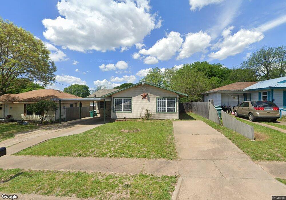
2005 E Cherry St Sherman, TX 75090
Estimated Value: $164,760 - $185,000
3
Beds
1
Bath
1,156
Sq Ft
$151/Sq Ft
Est. Value
About This Home
This home is located at 2005 E Cherry St, Sherman, TX 75090 and is currently estimated at $174,880, approximately $151 per square foot. 2005 E Cherry St is a home located in Grayson County with nearby schools including Crutchfield Elementary School, Piner Middle School, and Dillingham Intermediate School.
Ownership History
Date
Name
Owned For
Owner Type
Purchase Details
Closed on
Sep 30, 2016
Sold by
Perez Samuel and Perez Alicea D
Bought by
Mueller Christopher John
Current Estimated Value
Home Financials for this Owner
Home Financials are based on the most recent Mortgage that was taken out on this home.
Original Mortgage
$92,297
Outstanding Balance
$73,121
Interest Rate
3.43%
Mortgage Type
FHA
Estimated Equity
$101,759
Purchase Details
Closed on
Nov 10, 2010
Sold by
Perez Samuel
Bought by
Perez Samuel and Perez Alicea D
Create a Home Valuation Report for This Property
The Home Valuation Report is an in-depth analysis detailing your home's value as well as a comparison with similar homes in the area
Home Values in the Area
Average Home Value in this Area
Purchase History
| Date | Buyer | Sale Price | Title Company |
|---|---|---|---|
| Mueller Christopher John | -- | Red River Title Co | |
| Perez Samuel | -- | None Available |
Source: Public Records
Mortgage History
| Date | Status | Borrower | Loan Amount |
|---|---|---|---|
| Open | Mueller Christopher John | $92,297 |
Source: Public Records
Tax History
| Year | Tax Paid | Tax Assessment Tax Assessment Total Assessment is a certain percentage of the fair market value that is determined by local assessors to be the total taxable value of land and additions on the property. | Land | Improvement |
|---|---|---|---|---|
| 2025 | $2,087 | $148,710 | $51,789 | $96,921 |
| 2024 | $2,087 | $156,082 | -- | -- |
| 2023 | $1,785 | $141,893 | $0 | $0 |
| 2022 | $3,023 | $128,994 | $0 | $0 |
| 2021 | $2,939 | $117,267 | $18,395 | $98,872 |
| 2020 | $2,904 | $110,656 | $12,311 | $98,345 |
| 2019 | $2,804 | $104,045 | $9,834 | $94,211 |
| 2018 | $2,519 | $107,888 | $6,368 | $101,520 |
| 2017 | $2,272 | $91,289 | $3,325 | $87,964 |
| 2016 | $1,301 | $52,283 | $3,325 | $48,958 |
| 2015 | $973 | $55,846 | $3,527 | $52,319 |
| 2014 | $1,172 | $58,183 | $3,527 | $54,656 |
Source: Public Records
Map
Nearby Homes
- 520 Hillside Dr
- 701 Hillside Dr
- 218 N Burdette Ave
- 713 Hillside Dr
- 1709 E Chaffin St
- 1509 E Magnolia St
- 212 N Harrison Ave
- 2005 E Leslie Ln
- 406 N Burdette Ave
- 608 S Loving Ave
- 1431 E Wells Ave
- 112 N Grand Ave
- 739 Copley St
- 818 Patricia Dr
- 1203 E Jones St
- TBD S Gribble St
- 620 S Charles St Unit 622
- 1120 E Wells Ave
- 904 S Gribble St
- 716 N Harrison Ave
- 2009 E Cherry St
- 2001 E Cherry St
- 2004 E Jones St
- 2008 E Jones St
- 2000 E Jones St
- 1925 E Cherry St
- 2004 E Cherry St
- 2017 E Cherry St
- 2012 E Jones St
- 2008 E Cherry St
- 2000 E Cherry St
- 1930 Jones Cir
- 2012 E Cherry St
- 2016 E Jones St
- 1921 E Cherry St
- 2021 E Cherry St
- 1924 E Cherry St
- 2016 E Cherry St
- 1928 Jones Cir
- 2020 E Jones St