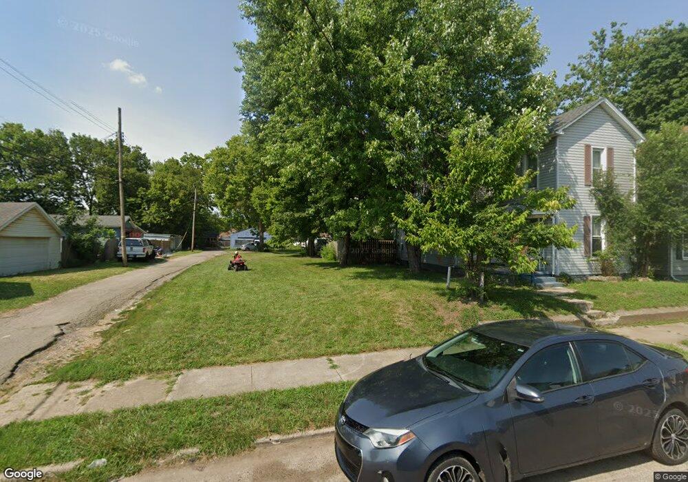
2005 Logan Ave Middletown, OH 45044
Sherman NeighborhoodEstimated Value: $89,703
3
Beds
1
Bath
1,278
Sq Ft
$70/Sq Ft
Est. Value
About This Home
This home is located at 2005 Logan Ave, Middletown, OH 45044 and is currently estimated at $89,703, approximately $70 per square foot. 2005 Logan Ave is a home located in Butler County with nearby schools including Amanda Elementary School, Highview 6th Grade Center, and Middletown Middle School.
Ownership History
Date
Name
Owned For
Owner Type
Purchase Details
Closed on
Jul 23, 2018
Sold by
Butler County Land Reutilization Corp
Bought by
City Of Middletown
Current Estimated Value
Purchase Details
Closed on
Jul 12, 2018
Sold by
State Of Ohio
Bought by
State Of Ohio Forfeited Land Sale
Purchase Details
Closed on
Jul 2, 2018
Sold by
County Of Butler
Bought by
Butler County Land Reutilization Corp
Purchase Details
Closed on
Jan 29, 2018
Sold by
Wagers Marlin
Bought by
State Of Ohio Forfeited Land Sale
Purchase Details
Closed on
Aug 25, 1997
Sold by
Dehart Polly F
Bought by
Wagers Marlin and Wagers Reginna
Purchase Details
Closed on
Jul 1, 1991
Create a Home Valuation Report for This Property
The Home Valuation Report is an in-depth analysis detailing your home's value as well as a comparison with similar homes in the area
Home Values in the Area
Average Home Value in this Area
Purchase History
| Date | Buyer | Sale Price | Title Company |
|---|---|---|---|
| City Of Middletown | -- | -- | |
| State Of Ohio Forfeited Land Sale | -- | -- | |
| Butler County Land Reutilization Corp | -- | None Available | |
| State Of Ohio Forfeited Land Sale | -- | -- | |
| Wagers Marlin | $33,000 | -- | |
| -- | $18,500 | -- |
Source: Public Records
Tax History Compared to Growth
Tax History
| Year | Tax Paid | Tax Assessment Tax Assessment Total Assessment is a certain percentage of the fair market value that is determined by local assessors to be the total taxable value of land and additions on the property. | Land | Improvement |
|---|---|---|---|---|
| 2024 | -- | $4,210 | $4,210 | -- |
| 2023 | -- | $4,210 | $4,210 | $0 |
| 2022 | $0 | $4,210 | $4,210 | $0 |
| 2021 | $0 | $4,210 | $4,210 | $0 |
| 2020 | $0 | $4,210 | $4,210 | $0 |
| 2019 | $284 | $3,920 | $3,920 | $0 |
| 2018 | $254 | $3,920 | $3,920 | $0 |
| 2017 | $254 | $3,920 | $3,920 | $0 |
| 2016 | $266 | $3,920 | $3,920 | $0 |
| 2015 | $262 | $3,920 | $3,920 | $0 |
| 2014 | $2,904 | $3,920 | $3,920 | $0 |
| 2013 | $2,904 | $15,750 | $3,920 | $11,830 |
Source: Public Records
Map
Nearby Homes
- 319 Moore St
- 1814.5 Logan Ave
- 408 Moore St
- 410 Moore St
- 2016 Linden Ave
- 2124 Sherman Ave
- 1814 Logan Ave
- 401 S Sutphin St
- 2208 Superior Ave
- 407 S Sutphin St
- 2007 Central Ave
- 2112 Central Ave
- 2113 Central Ave
- 2115 Central Ave
- 2119 Central Ave
- 2109 Queen Ave
- 2100 Queen Ave
- 113 N Sutphin St
- 2128 Queen Ave
- 2420 Superior Ave