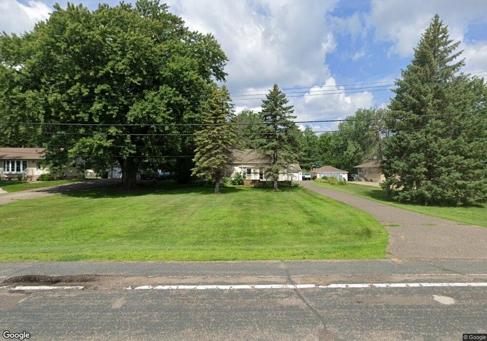
2005 Prosperity Rd Saint Paul, MN 55109
Gladstone NeighborhoodEstimated Value: $312,000 - $335,000
2
Beds
2
Baths
952
Sq Ft
$341/Sq Ft
Est. Value
About This Home
This home is located at 2005 Prosperity Rd, Saint Paul, MN 55109 and is currently estimated at $325,039, approximately $341 per square foot. 2005 Prosperity Rd is a home located in Ramsey County with nearby schools including Weaver Elementary School, John Glenn Middle School, and Mounds Park Academy.
Ownership History
Date
Name
Owned For
Owner Type
Purchase Details
Closed on
Aug 24, 2021
Sold by
Anderson Matthew J and Anderson Jennifer
Bought by
Skipon Michael G and Skipon Kimberly Anderson
Current Estimated Value
Purchase Details
Closed on
Dec 7, 2020
Sold by
Olson Ethel M
Bought by
Olson Ethel M and Skipon Kimberly Anderson
Purchase Details
Closed on
Aug 29, 1996
Sold by
Emerson Glenn L and Emerson Betty L
Bought by
Olson William R and Olson Ethel M
Create a Home Valuation Report for This Property
The Home Valuation Report is an in-depth analysis detailing your home's value as well as a comparison with similar homes in the area
Home Values in the Area
Average Home Value in this Area
Purchase History
| Date | Buyer | Sale Price | Title Company |
|---|---|---|---|
| Skipon Michael G | -- | None Available | |
| Olson Ethel M | -- | None Listed On Document | |
| Olson William R | $100,000 | -- |
Source: Public Records
Tax History
| Year | Tax Paid | Tax Assessment Tax Assessment Total Assessment is a certain percentage of the fair market value that is determined by local assessors to be the total taxable value of land and additions on the property. | Land | Improvement |
|---|---|---|---|---|
| 2025 | $4,186 | $328,800 | $77,900 | $250,900 |
| 2023 | $4,186 | $315,100 | $77,900 | $237,200 |
| 2022 | $3,742 | $294,100 | $77,900 | $216,200 |
| 2021 | $3,570 | $261,000 | $77,900 | $183,100 |
| 2020 | $3,430 | $255,100 | $77,900 | $177,200 |
| 2019 | $3,002 | $231,300 | $77,900 | $153,400 |
| 2018 | $2,854 | $208,900 | $77,900 | $131,000 |
| 2017 | $2,826 | $195,200 | $77,900 | $117,300 |
| 2016 | $2,590 | $0 | $0 | $0 |
| 2015 | $2,662 | $173,300 | $71,400 | $101,900 |
| 2014 | $2,046 | $0 | $0 | $0 |
Source: Public Records
Map
Nearby Homes
- 1984 Prosperity Rd
- 1884 Flandrau St
- 1856 Flandrau St
- 1764 Maryknoll Ave
- 1855 Birmingham St
- 1442 Sandhurst Ave E
- 1705 Lark Ave
- 2022 English St
- 1743 White Bear Ave N
- 1290 Belmont Ln E
- 1261 Skillman Ave E
- 1664 Barclay St
- 1515 Viking Dr E
- 1740 English St
- 1201 Frost Ave
- 1669 Clarence St
- 1569 Montana Ave E
- 1651 Darlene St
- 2212 Ariel St N
- 1745 Duluth St
- 1999 Prosperity Rd
- 2011 Prosperity Rd
- 0 Prosperity Rd N Unit 4031253
- 0 Prosperity Rd N Unit 4424670
- 0 Prosperity Rd N Unit 3529694
- 0 Prosperity Rd N Unit 4578500
- 1995 Prosperity Rd
- 2021 Prosperity Rd
- 1985 Prosperity Rd
- 1998 Prosperity Rd
- 1994 Prosperity Rd
- 2033 Prosperity Rd
- 2006 Prosperity Rd
- 2020 Prosperity Rd
- 2000 Hazelwood St
- 2044 Hazelwood St
- 1978 Prosperity Rd
- 1977 Prosperity Rd
- 2010 Hazelwood St
- 2018 Hazelwood St
Your Personal Tour Guide
Ask me questions while you tour the home.