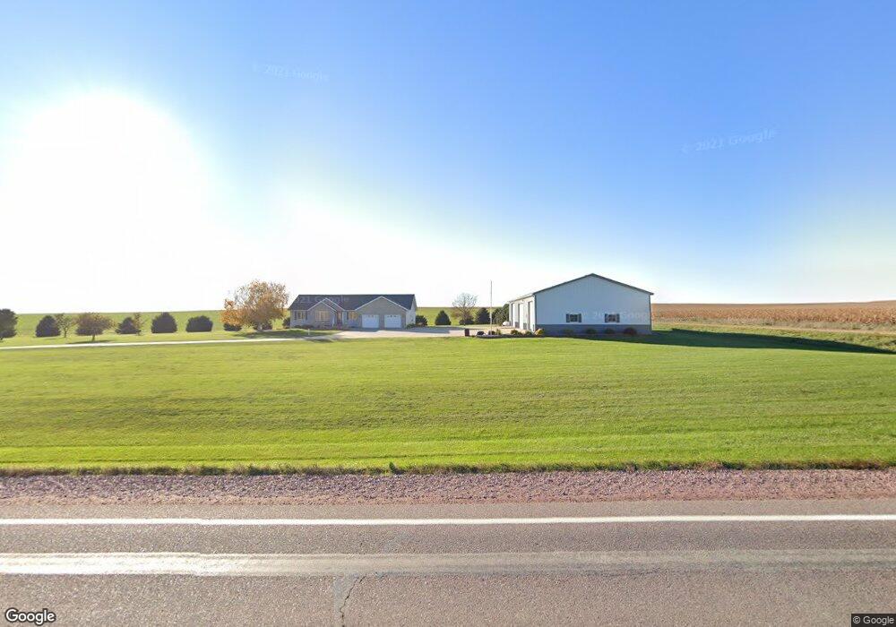
2005 Us Highway 75 Rock Rapids, IA 51246
Estimated Value: $423,000 - $901,357
--
Bed
3
Baths
2,046
Sq Ft
$324/Sq Ft
Est. Value
About This Home
This home is located at 2005 Us Highway 75, Rock Rapids, IA 51246 and is currently estimated at $662,179, approximately $323 per square foot. 2005 Us Highway 75 is a home located in Lyon County with nearby schools including Central Lyon Elementary School and Central Lyon Senior High School.
Create a Home Valuation Report for This Property
The Home Valuation Report is an in-depth analysis detailing your home's value as well as a comparison with similar homes in the area
Home Values in the Area
Average Home Value in this Area
Tax History Compared to Growth
Tax History
| Year | Tax Paid | Tax Assessment Tax Assessment Total Assessment is a certain percentage of the fair market value that is determined by local assessors to be the total taxable value of land and additions on the property. | Land | Improvement |
|---|---|---|---|---|
| 2025 | $7,732 | $892,360 | $162,090 | $730,270 |
| 2024 | $7,732 | $758,530 | $134,710 | $623,820 |
| 2023 | $7,516 | $760,610 | $134,710 | $625,900 |
| 2022 | $6,194 | $502,600 | $98,810 | $403,790 |
| 2021 | $6,194 | $502,600 | $98,810 | $403,790 |
| 2020 | $6,496 | $457,530 | $105,810 | $351,720 |
| 2019 | $5,846 | $456,663 | $0 | $0 |
| 2018 | $5,614 | $456,053 | $0 | $0 |
| 2017 | $5,264 | $450,115 | $0 | $0 |
| 2016 | $5,260 | $450,115 | $0 | $0 |
| 2015 | $5,260 | $464,754 | $0 | $0 |
| 2014 | $5,194 | $464,754 | $0 | $0 |
Source: Public Records
Map
Nearby Homes
- 601 Mill Pond Rd Unit 2
- 601 Mill Pond Rd Unit 1
- 507 Mill Pond Rd
- 106 S 15th Ave Unit 1
- 204 S 15th Ave
- 1964 Fir Ave
- 104 Cedar Ln
- 603 Mill Pond Rd
- 505 Mill Pond Rd Unit 2
- 505 Mill Pond Rd Unit 1
- 805 Mill Pond Rd
- 803 Mill Pond Rd
- 801 Mill Pond Rd
- 707 Mill Pond Rd
- 501 Mill Pond Rd
- 405 Mill Pond Rd
- 804 Mill Pond Rd
- 802 Mill Pond Rd
- 800 Mill Pond Rd
- 604 Mill Pond Rd