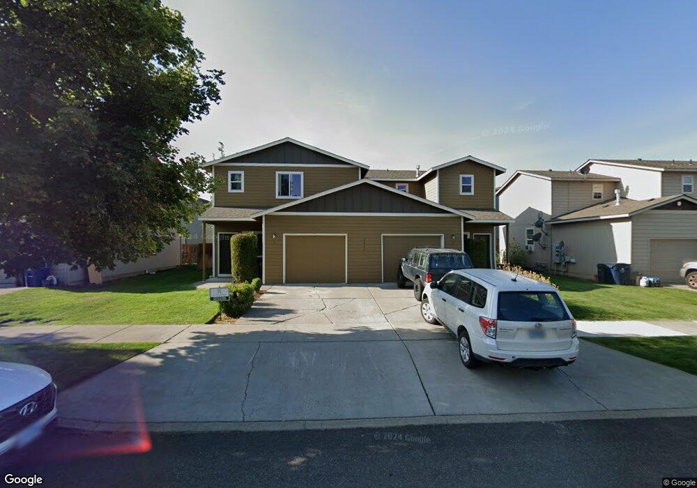
20055 Doanna Way Bend, OR 97702
Southwest Bend NeighborhoodEstimated Value: $740,000 - $861,000
5
Beds
6
Baths
2,490
Sq Ft
$316/Sq Ft
Est. Value
About This Home
This home is located at 20055 Doanna Way, Bend, OR 97702 and is currently estimated at $787,228, approximately $316 per square foot. 20055 Doanna Way is a home located in Deschutes County with nearby schools including Pine Ridge Elementary School, Cascade Middle School, and Bend Senior High School.
Ownership History
Date
Name
Owned For
Owner Type
Purchase Details
Closed on
Jun 16, 2005
Sold by
Wight Development Llc
Bought by
Newlin Leonard and Newlin Cherie
Current Estimated Value
Home Financials for this Owner
Home Financials are based on the most recent Mortgage that was taken out on this home.
Original Mortgage
$219,200
Outstanding Balance
$107,169
Interest Rate
4.88%
Mortgage Type
Negative Amortization
Estimated Equity
$680,059
Create a Home Valuation Report for This Property
The Home Valuation Report is an in-depth analysis detailing your home's value as well as a comparison with similar homes in the area
Home Values in the Area
Average Home Value in this Area
Purchase History
| Date | Buyer | Sale Price | Title Company |
|---|---|---|---|
| Newlin Leonard | $274,000 | Western Title & Escrow Co |
Source: Public Records
Mortgage History
| Date | Status | Borrower | Loan Amount |
|---|---|---|---|
| Open | Newlin Leonard | $219,200 |
Source: Public Records
Tax History Compared to Growth
Tax History
| Year | Tax Paid | Tax Assessment Tax Assessment Total Assessment is a certain percentage of the fair market value that is determined by local assessors to be the total taxable value of land and additions on the property. | Land | Improvement |
|---|---|---|---|---|
| 2025 | $4,889 | $289,350 | -- | -- |
| 2024 | $4,704 | $280,930 | -- | -- |
| 2023 | $4,360 | $272,750 | $0 | $0 |
| 2022 | $4,068 | $257,100 | $0 | $0 |
| 2021 | $4,074 | $249,620 | $0 | $0 |
| 2020 | $3,865 | $249,620 | $0 | $0 |
| 2019 | $3,758 | $242,350 | $0 | $0 |
| 2018 | $3,652 | $235,300 | $0 | $0 |
| 2017 | $3,545 | $228,450 | $0 | $0 |
| 2016 | $3,380 | $221,800 | $0 | $0 |
| 2015 | $3,287 | $215,340 | $0 | $0 |
| 2014 | $3,190 | $209,070 | $0 | $0 |
Source: Public Records
Map
Nearby Homes
- 20082 Beth Ave
- 20076 Mount Hope Ln
- 20085 Sally Ct
- 61379 Sally Ln
- 61344 Elkhorn St
- 61369 Elkhorn St
- 20050 Elizabeth Ln
- 61388 Elkhorn St
- 20041 Voltera Place
- 61257 Bronze Meadow Ln
- 61193 Hitching Post Ln
- 20184 Merriewood Ln
- 0 Pinebrook Blvd Unit 220199740
- 60915 SE Epic Place
- 20839 SE Caldera Dr
- 20192 Reed Ln
- 20250 Narnia Place
- 61521 Sunny Breeze Ln
- 61280 Parrell Rd Unit 10
- 1317 SW Boardwalk Ln