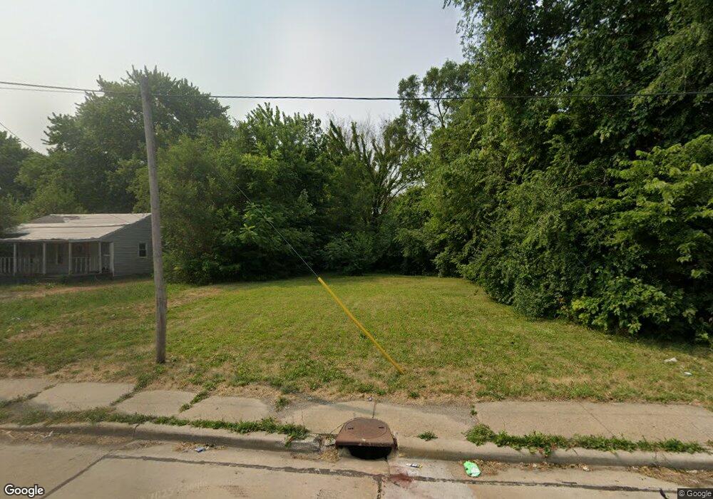
2006 E Laurel St Springfield, IL 62703
Estimated Value: $47,000 - $153,000
3
Beds
1
Bath
1,014
Sq Ft
$83/Sq Ft
Est. Value
About This Home
This home is located at 2006 E Laurel St, Springfield, IL 62703 and is currently estimated at $84,667, approximately $83 per square foot. 2006 E Laurel St is a home located in Sangamon County with nearby schools including Sandburg Elementary School, Jefferson Middle School, and Springfield Southeast High School.
Ownership History
Date
Name
Owned For
Owner Type
Purchase Details
Closed on
Nov 5, 2025
Sold by
Sangamon County
Bought by
Piggy Bank Investment Properties Llc
Current Estimated Value
Purchase Details
Closed on
Aug 12, 2025
Sold by
Sangamon County
Bought by
Sangamon County
Purchase Details
Closed on
Oct 13, 2015
Purchase Details
Closed on
Jul 22, 2013
Purchase Details
Closed on
Mar 30, 2006
Purchase Details
Closed on
Dec 23, 2002
Purchase Details
Closed on
Mar 13, 2002
Purchase Details
Closed on
Sep 26, 2001
Purchase Details
Closed on
Aug 30, 1999
Purchase Details
Closed on
May 4, 1998
Purchase Details
Closed on
Apr 21, 1998
Create a Home Valuation Report for This Property
The Home Valuation Report is an in-depth analysis detailing your home's value as well as a comparison with similar homes in the area
Purchase History
| Date | Buyer | Sale Price | Title Company |
|---|---|---|---|
| Piggy Bank Investment Properties Llc | -- | None Listed On Document | |
| Sangamon County | -- | None Listed On Document | |
| -- | $1,800 | -- | |
| -- | -- | -- | |
| -- | -- | -- | |
| -- | $4,000 | -- | |
| -- | -- | -- | |
| -- | -- | -- | |
| -- | $35,000 | -- | |
| -- | $63,000 | -- | |
| -- | -- | -- |
Source: Public Records
Tax History
| Year | Tax Paid | Tax Assessment Tax Assessment Total Assessment is a certain percentage of the fair market value that is determined by local assessors to be the total taxable value of land and additions on the property. | Land | Improvement |
|---|---|---|---|---|
| 2024 | $229 | $2,730 | $2,730 | $0 |
| 2023 | $221 | $2,494 | $2,494 | $0 |
| 2022 | $212 | $2,366 | $2,366 | $0 |
| 2021 | $205 | $2,277 | $2,277 | $0 |
| 2020 | $201 | $2,280 | $2,280 | $0 |
| 2019 | $197 | $2,272 | $2,272 | $0 |
| 2018 | $191 | $2,261 | $2,261 | $0 |
| 2017 | $187 | $2,232 | $2,232 | $0 |
| 2016 | $183 | $2,199 | $2,199 | $0 |
| 2015 | -- | $2,173 | $2,173 | $0 |
| 2014 | -- | $2,159 | $2,159 | $0 |
| 2013 | -- | $2,159 | $2,159 | $0 |
Source: Public Records
Map
Nearby Homes
- 1838 S 19th St
- 1909 E Cedar St
- 2325 E Spruce St
- 2051 Randall Ct
- 2238 E Stuart St
- 1622 E Cornell Ave
- 1848 Honeysuckle Ct
- 2160 S 14th St
- 2212 S 14th St
- 2154 S 13th St
- 1942 S 11th St
- 2216 S 13th St
- 1105 Knoll Pointe Place
- 2313 S 13th St
- Lot 1 & 2 Bunn Dr
- 1318 E Lenox Ave
- 1529 E Edwards St
- 725 E Spruce St
- 2128 E Capitol Ave
- 1405 E Edwards St
- 2010 E Laurel St
- 2012 E Laurel St
- 2014 E Laurel St
- 2005 E Laurel St
- 2003 E Laurel St
- 2011 E Laurel St
- 1804 S Wirt Ave
- 2018 E Laurel St
- 2015 E Laurel St
- 1808 S Wirt Ave
- 1820 S Wirt Ave
- 1806 S Wirt Ave
- 1935 E Laurel St
- 2019 E Laurel St
- 1824 S Wirt Ave
- 2000 E Spruce St
- 2020 E Laurel St
- 1836 S Wirt Ave
- 1925 E Laurel St
- 1932 E Spruce St
Your Personal Tour Guide
Ask me questions while you tour the home.