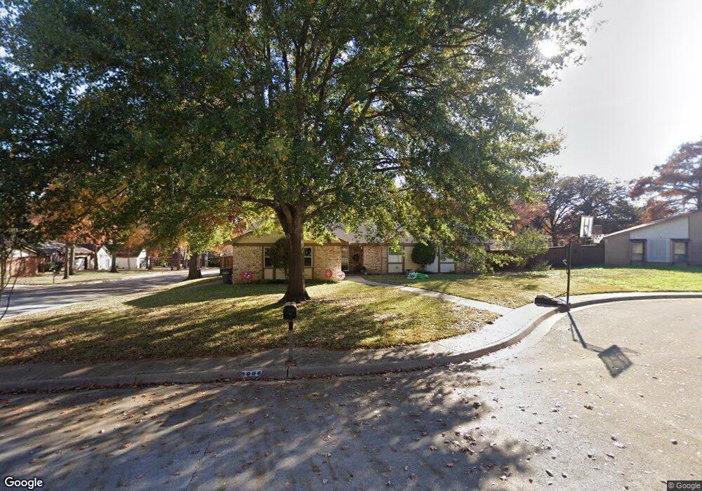
2006 Shadow Ct Grapevine, TX 76051
Estimated Value: $453,000 - $541,000
3
Beds
2
Baths
1,868
Sq Ft
$261/Sq Ft
Est. Value
About This Home
This home is located at 2006 Shadow Ct, Grapevine, TX 76051 and is currently estimated at $487,201, approximately $260 per square foot. 2006 Shadow Ct is a home located in Tarrant County with nearby schools including Cannon Elementary School, Grapevine Middle, and Grapevine High School.
Ownership History
Date
Name
Owned For
Owner Type
Purchase Details
Closed on
Sep 28, 2006
Sold by
Tarrh Danny J
Bought by
Stull Stacey D and Stull Danna M
Current Estimated Value
Home Financials for this Owner
Home Financials are based on the most recent Mortgage that was taken out on this home.
Original Mortgage
$135,750
Outstanding Balance
$81,049
Interest Rate
6.47%
Mortgage Type
Purchase Money Mortgage
Estimated Equity
$406,152
Purchase Details
Closed on
Oct 30, 2000
Sold by
Grisham James T and Grisham Robin A
Bought by
Tarrh Danny J
Home Financials for this Owner
Home Financials are based on the most recent Mortgage that was taken out on this home.
Original Mortgage
$123,200
Interest Rate
7.9%
Create a Home Valuation Report for This Property
The Home Valuation Report is an in-depth analysis detailing your home's value as well as a comparison with similar homes in the area
Home Values in the Area
Average Home Value in this Area
Purchase History
| Date | Buyer | Sale Price | Title Company |
|---|---|---|---|
| Stull Stacey D | -- | American Title | |
| Tarrh Danny J | -- | First American Title Co |
Source: Public Records
Mortgage History
| Date | Status | Borrower | Loan Amount |
|---|---|---|---|
| Open | Stull Stacey D | $135,750 | |
| Previous Owner | Tarrh Danny J | $123,200 |
Source: Public Records
Tax History
| Year | Tax Paid | Tax Assessment Tax Assessment Total Assessment is a certain percentage of the fair market value that is determined by local assessors to be the total taxable value of land and additions on the property. | Land | Improvement |
|---|---|---|---|---|
| 2025 | $1,736 | $463,658 | $90,000 | $373,658 |
| 2024 | $1,736 | $463,658 | $90,000 | $373,658 |
| 2023 | $6,503 | $434,980 | $85,000 | $349,980 |
| 2022 | $6,986 | $379,128 | $50,000 | $329,128 |
| 2021 | $6,970 | $320,572 | $50,000 | $270,572 |
| 2020 | $7,101 | $322,840 | $50,000 | $272,840 |
| 2019 | $7,334 | $337,753 | $50,000 | $287,753 |
| 2018 | $1,738 | $292,381 | $50,000 | $242,381 |
| 2017 | $6,147 | $292,178 | $50,000 | $242,178 |
| 2016 | $5,588 | $261,645 | $50,000 | $211,645 |
| 2015 | $4,250 | $223,383 | $35,000 | $188,383 |
| 2014 | $4,250 | $199,700 | $25,000 | $174,700 |
Source: Public Records
Map
Nearby Homes
- 2221 Churchill Loop
- 305 Tillery Cir
- 2081 Holt Way
- 2093 Holt Way
- 2410 Bowie Ln
- 1707 Overlook Dr
- 1060 Rosewood Dr
- 1068 Rosewood Dr
- 831 Simmons Ct
- 1816 Big Bend Dr
- 2113 Brentcove Dr
- 1508 Bennington Ct
- 941 Meadowbend Loop S
- 1517 Brookwood Dr
- 6007 Laurel Ln
- 6011 Laurel Ln
- 2156 Sandell Dr
- 1226 Eaton Ln
- 1213 Hillwood Way
- 1626 Choteau Cir
- 2005 Willow Ct
- 2010 Shadow Ct
- 2011 Willow Ct
- 2012 Shadow Ct
- 214 Brookside Dr
- 208 Brookside Dr
- 2005 Shadow Ct
- 302 Brookside Dr
- 2009 Shadow Ct
- 202 Brookside Dr
- 2012 Willow Ct
- 308 Brookside Dr
- 2006 Candle Ct
- 2010 Candle Ct
- 147 Manor Way St
- 137 Manor Way St
- 2008 Willow Ct
- 116 Brookside Dr
- 314 Brookside Dr
- 157 Manor Way St
Your Personal Tour Guide
Ask me questions while you tour the home.