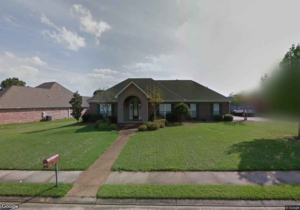
2007 Brookstone Place Brandon, MS 39042
Estimated Value: $306,628 - $332,000
3
Beds
2
Baths
2,028
Sq Ft
$158/Sq Ft
Est. Value
About This Home
This home is located at 2007 Brookstone Place, Brandon, MS 39042 and is currently estimated at $320,907, approximately $158 per square foot. 2007 Brookstone Place is a home located in Rankin County with nearby schools including Rouse Elementary School, Brandon Elementary School, and Stonebridge Elementary School.
Ownership History
Date
Name
Owned For
Owner Type
Purchase Details
Closed on
Aug 26, 2011
Sold by
Vardamann Blakeney Melanie
Bought by
Davis Richard J and Davis Kimberly C
Current Estimated Value
Home Financials for this Owner
Home Financials are based on the most recent Mortgage that was taken out on this home.
Original Mortgage
$194,930
Outstanding Balance
$130,479
Interest Rate
4.25%
Mortgage Type
FHA
Estimated Equity
$190,428
Purchase Details
Closed on
Jul 31, 2007
Sold by
Blakeney Jason and Blakeney Melanie Vardaman
Bought by
Blakeney Melanie Vardaman and Vardaman Melanie T
Create a Home Valuation Report for This Property
The Home Valuation Report is an in-depth analysis detailing your home's value as well as a comparison with similar homes in the area
Home Values in the Area
Average Home Value in this Area
Purchase History
| Date | Buyer | Sale Price | Title Company |
|---|---|---|---|
| Davis Richard J | -- | -- | |
| Blakeney Melanie Vardaman | -- | -- |
Source: Public Records
Mortgage History
| Date | Status | Borrower | Loan Amount |
|---|---|---|---|
| Open | Davis Richard J | $194,930 |
Source: Public Records
Tax History
| Year | Tax Paid | Tax Assessment Tax Assessment Total Assessment is a certain percentage of the fair market value that is determined by local assessors to be the total taxable value of land and additions on the property. | Land | Improvement |
|---|---|---|---|---|
| 2025 | $2,519 | $21,301 | $0 | $0 |
| 2024 | $2,480 | $21,301 | $0 | $0 |
| 2023 | $1,801 | $21,302 | $0 | $0 |
| 2022 | $1,781 | $21,302 | $0 | $0 |
| 2021 | $1,781 | $21,302 | $0 | $0 |
| 2020 | $1,781 | $21,302 | $0 | $0 |
| 2019 | $2,201 | $18,980 | $0 | $0 |
| 2018 | $2,163 | $18,980 | $0 | $0 |
| 2017 | $2,163 | $18,980 | $0 | $0 |
| 2016 | $1,933 | $18,490 | $0 | $0 |
| 2015 | $1,933 | $18,490 | $0 | $0 |
| 2014 | -- | $18,490 | $0 | $0 |
| 2013 | -- | $18,490 | $0 | $0 |
Source: Public Records
Map
Nearby Homes
- 2008 Brookstone Place
- 1101 Susan Cove
- 104 Meadowcreek Dr
- 705 Brookwood Cir
- 100 City Limits Rd
- 0 Shiloh Rd Unit 4106044
- 109 W Legacy Dr
- 104 City Limits Rd
- 444 Edgewood Crossing
- 148 W Legacy Dr
- 2701 Highway 80 E
- 199 Kennedy Farm Pkwy
- 0 Trickhambridge Rd
- 100 Rollingwood Dr
- 103 Pimlico Dr
- 110 Trickhambridge Rd
- 1 E Government St
- 200 Evelyn Ln
- 202 Evelyn Ln
- 114 Grandeur Dr
- 2003 Brookstone Place
- 2009 Brookstone Place
- 2011 Brookstone Place
- 212 Park Place
- 311 Park Ridge Dr
- 313 Park Ridge Dr
- 2002 Brookstone Place
- 2010 Brookstone Place
- 2006 Brookstone Place
- 209 Park Place
- 2012 Brookstone Place
- 309 Park Ridge Dr
- 2004 Brookstone Place
- 401 Park Ridge Dr
- 0 Ridge Dr Unit 24 1210859
- 0 Ridge Dr Unit 24 210859
- 210 Park Place
- 2013 Brookstone Place
- 111 Susan Ln
- 307 Park Ridge Dr
Your Personal Tour Guide
Ask me questions while you tour the home.