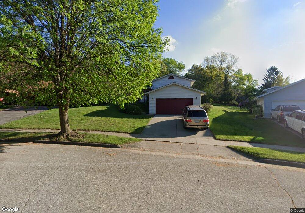
2007 Chapman Dr Waukesha, WI 53189
Estimated Value: $385,000 - $434,000
3
Beds
2
Baths
1,748
Sq Ft
$234/Sq Ft
Est. Value
About This Home
This home is located at 2007 Chapman Dr, Waukesha, WI 53189 and is currently estimated at $408,821, approximately $233 per square foot. 2007 Chapman Dr is a home located in Waukesha County with nearby schools including Prairie Elementary School, Les Paul Middle School - Central Campus, and West High School.
Ownership History
Date
Name
Owned For
Owner Type
Purchase Details
Closed on
Sep 5, 1997
Sold by
Burtch Robert L and Burtch Beth M
Bought by
Nuesse Lowell A and Nuesse Julie A
Current Estimated Value
Home Financials for this Owner
Home Financials are based on the most recent Mortgage that was taken out on this home.
Original Mortgage
$117,120
Outstanding Balance
$18,406
Interest Rate
7.63%
Estimated Equity
$390,415
Create a Home Valuation Report for This Property
The Home Valuation Report is an in-depth analysis detailing your home's value as well as a comparison with similar homes in the area
Home Values in the Area
Average Home Value in this Area
Purchase History
| Date | Buyer | Sale Price | Title Company |
|---|---|---|---|
| Nuesse Lowell A | $146,400 | -- |
Source: Public Records
Mortgage History
| Date | Status | Borrower | Loan Amount |
|---|---|---|---|
| Open | Nuesse Lowell A | $117,120 |
Source: Public Records
Tax History Compared to Growth
Tax History
| Year | Tax Paid | Tax Assessment Tax Assessment Total Assessment is a certain percentage of the fair market value that is determined by local assessors to be the total taxable value of land and additions on the property. | Land | Improvement |
|---|---|---|---|---|
| 2024 | $5,150 | $346,600 | $81,900 | $264,700 |
| 2023 | $5,009 | $346,600 | $81,900 | $264,700 |
| 2022 | $4,709 | $245,500 | $71,900 | $173,600 |
| 2021 | $4,821 | $245,500 | $71,900 | $173,600 |
| 2020 | $4,657 | $245,500 | $71,900 | $173,600 |
| 2019 | $4,513 | $245,500 | $71,900 | $173,600 |
| 2018 | $4,142 | $221,200 | $63,400 | $157,800 |
| 2017 | $4,131 | $221,200 | $63,400 | $157,800 |
| 2016 | $3,923 | $197,500 | $61,300 | $136,200 |
| 2015 | $3,900 | $197,500 | $61,300 | $136,200 |
| 2014 | $4,068 | $197,500 | $61,300 | $136,200 |
| 2013 | $4,068 | $197,500 | $61,300 | $136,200 |
Source: Public Records
Map
Nearby Homes
- 2010 Dixie Dr
- 1909 Mallard Pointe Cir
- 1210 Woodbury Common Unit C
- 1203 Woodbury Common Unit D
- 1722 Sycamore Dr
- 1101 Dogwood Ln
- 1706 Haymarket Rd
- 1277 Market Place
- LtD59 White Deer Trail
- 812 Timber Ridge Ct Unit 10
- 1523 David Ln
- S54W25487 Pebble Brook Ct
- S54W25436 Pebble Brook Ct
- Lt6 Finch Ct
- 801 Timber Ridge Dr
- 2415 Fox River Pkwy Unit H
- 300 Darlene Dr
- 2426 Fox River Pkwy Unit G
- 1906 Marliz Dr
- 2708 Fox Hill Dr
- 2003 Chapman Dr
- 2011 Chapman Dr
- 2022 Dixie Dr
- 2018 Dixie Dr
- 2014 Dixie Dr
- 2015 Chapman Dr
- 1949 Chapman Dr
- 2036 Dixie Dr
- 2014 Chapman Dr
- 2042 Dixie Dr
- 1948 Chapman Dr
- 2017 Chapman Dr
- 2046 Dixie Dr
- 1945 Chapman Dr
- 2020 Chapman Dr
- 2021 Chapman Dr
- 2006 Dixie Dr
- 2002 Dixie Dr
- 1941 Chapman Dr
- 2024 Chapman Dr