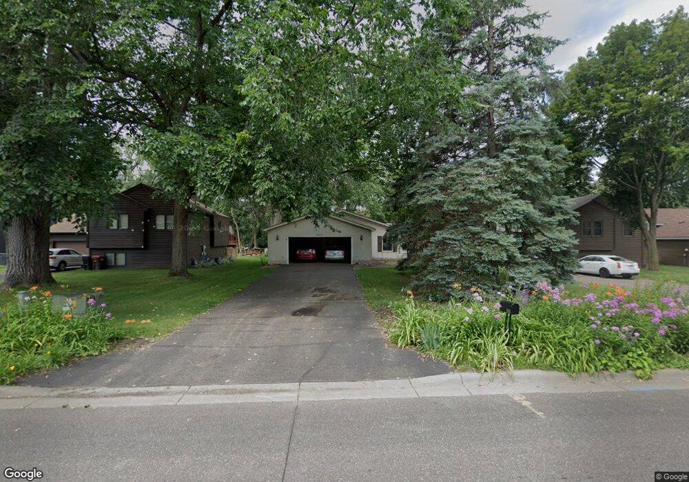
2007 Clarence St Saint Paul, MN 55109
Sherwood Glen NeighborhoodEstimated Value: $335,000 - $378,000
2
Beds
3
Baths
622
Sq Ft
$577/Sq Ft
Est. Value
About This Home
This home is located at 2007 Clarence St, Saint Paul, MN 55109 and is currently estimated at $359,186, approximately $577 per square foot. 2007 Clarence St is a home located in Ramsey County with nearby schools including Weaver Elementary School, John Glenn Middle School, and Mounds Park Academy.
Ownership History
Date
Name
Owned For
Owner Type
Purchase Details
Closed on
Nov 10, 2015
Sold by
Hess Harland Joseph
Bought by
Hess Anita Rae
Current Estimated Value
Home Financials for this Owner
Home Financials are based on the most recent Mortgage that was taken out on this home.
Original Mortgage
$182,400
Outstanding Balance
$143,222
Interest Rate
3.74%
Mortgage Type
New Conventional
Estimated Equity
$215,964
Purchase Details
Closed on
Jul 16, 2014
Sold by
Hess Anita R
Bought by
Hess Harland J
Create a Home Valuation Report for This Property
The Home Valuation Report is an in-depth analysis detailing your home's value as well as a comparison with similar homes in the area
Home Values in the Area
Average Home Value in this Area
Purchase History
| Date | Buyer | Sale Price | Title Company |
|---|---|---|---|
| Hess Anita Rae | $250,000 | Title Recording Services Inc | |
| Hess Harland J | -- | None Available |
Source: Public Records
Mortgage History
| Date | Status | Borrower | Loan Amount |
|---|---|---|---|
| Open | Hess Anita Rae | $182,400 |
Source: Public Records
Tax History Compared to Growth
Tax History
| Year | Tax Paid | Tax Assessment Tax Assessment Total Assessment is a certain percentage of the fair market value that is determined by local assessors to be the total taxable value of land and additions on the property. | Land | Improvement |
|---|---|---|---|---|
| 2025 | $4,342 | $359,600 | $54,100 | $305,500 |
| 2023 | $4,342 | $312,300 | $54,100 | $258,200 |
| 2022 | $3,812 | $301,900 | $54,100 | $247,800 |
| 2021 | $3,746 | $265,200 | $54,100 | $211,100 |
| 2020 | $3,488 | $266,200 | $54,100 | $212,100 |
| 2019 | $3,092 | $234,700 | $54,100 | $180,600 |
| 2018 | $2,818 | $214,300 | $54,100 | $160,200 |
| 2017 | $3,342 | $193,100 | $54,100 | $139,000 |
| 2016 | $2,956 | $0 | $0 | $0 |
| 2015 | $3,090 | $175,200 | $49,600 | $125,600 |
| 2014 | $2,640 | $0 | $0 | $0 |
Source: Public Records
Map
Nearby Homes
- 1940 Barclay St
- 1869 Birmingham St
- 1201 Frost Ave
- 1467 County Road B E
- 1854 Barclay St
- 1509 Sandhurst Ave E
- 1984 Prosperity Rd
- 1740 English St
- 1730 Atlantic St
- 1779 Frank St
- 1435 Price Ave
- 1849 Kennard St
- 1672 Manton St
- 1639 Clarence St
- 1666 Laurie Rd E
- 1937 Flandrau St
- 1875 E Shore Dr Unit 302
- 1694 Laurie Rd E
- 1856 Flandrau St
- 1627 Christie Place
- 2017 Clarence St
- 2003 Clarence St
- 2023 Clarence St
- 1999 Clarence St
- 1352 Skillman Ave E
- 1995 Clarence St
- 2010 Clarence St
- 1991 Clarence St
- 2024 Clarence St
- 2002 Clarence St
- 2036 English St
- 2000 Clarence St
- 1347 Skillman Ave E
- 1353 Skillman Ave E
- 2025 Ide St
- 1359 Skillman Ave E
- 1367 Skillman Ave E
- 2022 English St
- 2018 English St
- 2028 English St