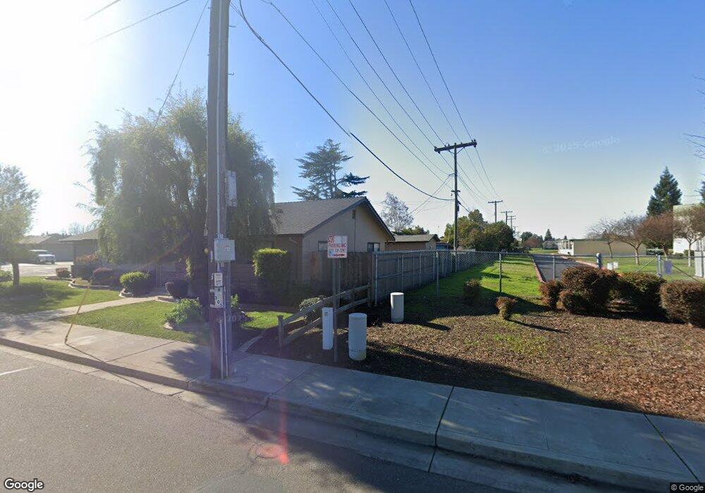
2007 W Elm St Lodi, CA 95242
Sunwest NeighborhoodEstimated Value: $438,000 - $469,000
3
Beds
2
Baths
1,344
Sq Ft
$337/Sq Ft
Est. Value
About This Home
This home is located at 2007 W Elm St, Lodi, CA 95242 and is currently estimated at $452,490, approximately $336 per square foot. 2007 W Elm St is a home located in San Joaquin County with nearby schools including Erma B. Reese Elementary School, Millswood Middle School, and Lodi High School.
Ownership History
Date
Name
Owned For
Owner Type
Purchase Details
Closed on
Jul 26, 2005
Sold by
Russell Paul G
Bought by
Cantu Angel F
Current Estimated Value
Home Financials for this Owner
Home Financials are based on the most recent Mortgage that was taken out on this home.
Original Mortgage
$168,000
Outstanding Balance
$87,116
Interest Rate
5.46%
Mortgage Type
Fannie Mae Freddie Mac
Estimated Equity
$365,374
Purchase Details
Closed on
May 3, 1995
Sold by
Braswell Alice Russell
Bought by
Braswell Alice Russell and Russell Paul G
Create a Home Valuation Report for This Property
The Home Valuation Report is an in-depth analysis detailing your home's value as well as a comparison with similar homes in the area
Home Values in the Area
Average Home Value in this Area
Purchase History
| Date | Buyer | Sale Price | Title Company |
|---|---|---|---|
| Cantu Angel F | $338,000 | Alliance Title Co | |
| Braswell Alice Russell | -- | Central Valley Title Company |
Source: Public Records
Mortgage History
| Date | Status | Borrower | Loan Amount |
|---|---|---|---|
| Open | Cantu Angel F | $168,000 |
Source: Public Records
Tax History
| Year | Tax Paid | Tax Assessment Tax Assessment Total Assessment is a certain percentage of the fair market value that is determined by local assessors to be the total taxable value of land and additions on the property. | Land | Improvement |
|---|---|---|---|---|
| 2025 | $4,538 | $425,500 | $125,000 | $300,500 |
| 2024 | $4,700 | $443,943 | $177,313 | $266,630 |
| 2023 | $4,644 | $435,239 | $173,837 | $261,402 |
| 2022 | $4,539 | $426,706 | $170,429 | $256,277 |
| 2021 | $3,933 | $357,000 | $60,000 | $297,000 |
| 2020 | $3,221 | $298,000 | $90,000 | $208,000 |
| 2019 | $3,219 | $298,000 | $90,000 | $208,000 |
| 2018 | $3,481 | $290,000 | $116,000 | $174,000 |
| 2017 | $3,140 | $290,000 | $116,000 | $174,000 |
| 2016 | $2,390 | $232,000 | $93,000 | $139,000 |
| 2015 | $2,167 | $210,000 | $84,000 | $126,000 |
| 2014 | $2,147 | $206,800 | $61,600 | $145,200 |
Source: Public Records
Map
Nearby Homes
- 2019 Debbie Ln
- 1618 W Locust St
- 18 Benson Dr
- 32 S Corinth Ave
- 1718 Robert St
- 1507 W Locust St
- 2312 Burton Way
- 1424 Graffigna Ave
- 1413 Mariposa Way
- 527 Cross St
- 1421 Graffigna Ave
- 2410 Central Park Dr
- 2441 W Elm St
- 1427 Reiman St
- 1416 Reiman St
- 400 N Pacific Ave
- 2414 Modoc Way
- 418 Gerard Dr
- 2459 Macarthur Pkwy
- 1507 Holly Dr
Your Personal Tour Guide
Ask me questions while you tour the home.