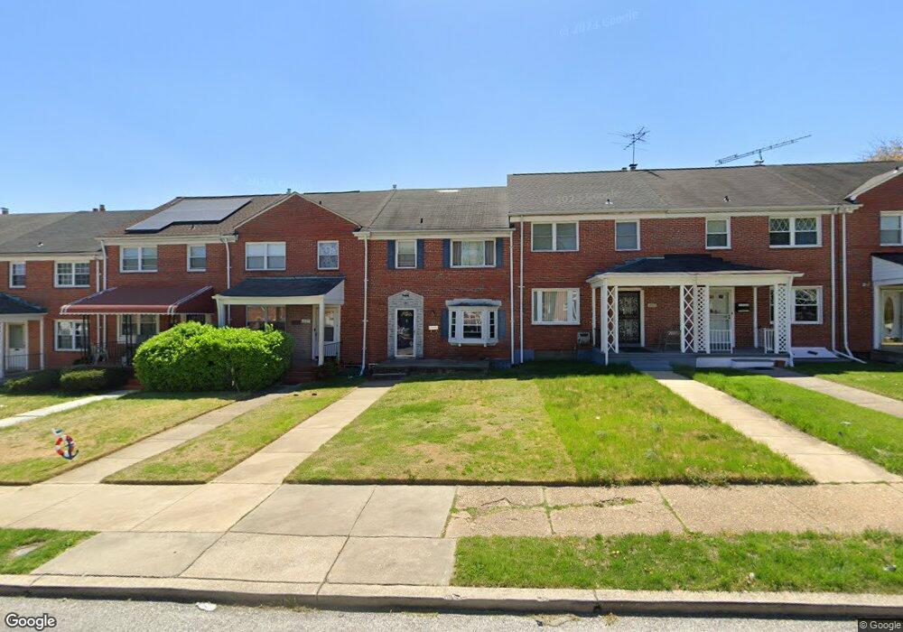
2007 Woodbourne Ave Baltimore, MD 21239
Perring Loch NeighborhoodEstimated Value: $188,423 - $222,000
--
Bed
1
Bath
1,280
Sq Ft
$160/Sq Ft
Est. Value
About This Home
This home is located at 2007 Woodbourne Ave, Baltimore, MD 21239 and is currently estimated at $205,212, approximately $160 per square foot. 2007 Woodbourne Ave is a home located in Baltimore City with nearby schools including Northwood Elementary School, Booker T. Washington Middle School, and Paul Laurence Dunbar High School.
Ownership History
Date
Name
Owned For
Owner Type
Purchase Details
Closed on
Dec 6, 2006
Sold by
Boyd Melvin and Boyd Wf
Bought by
Nance Frederick J and Nance Boy
Current Estimated Value
Home Financials for this Owner
Home Financials are based on the most recent Mortgage that was taken out on this home.
Original Mortgage
$109,620
Outstanding Balance
$66,918
Interest Rate
6.88%
Mortgage Type
Purchase Money Mortgage
Estimated Equity
$138,294
Create a Home Valuation Report for This Property
The Home Valuation Report is an in-depth analysis detailing your home's value as well as a comparison with similar homes in the area
Home Values in the Area
Average Home Value in this Area
Purchase History
| Date | Buyer | Sale Price | Title Company |
|---|---|---|---|
| Nance Frederick J | $115,000 | -- |
Source: Public Records
Mortgage History
| Date | Status | Borrower | Loan Amount |
|---|---|---|---|
| Open | Nance Frederick J | $109,620 | |
| Closed | Nance Frederick J | $5,000 |
Source: Public Records
Tax History Compared to Growth
Tax History
| Year | Tax Paid | Tax Assessment Tax Assessment Total Assessment is a certain percentage of the fair market value that is determined by local assessors to be the total taxable value of land and additions on the property. | Land | Improvement |
|---|---|---|---|---|
| 2025 | $3,223 | $149,367 | -- | -- |
| 2024 | $3,223 | $137,200 | $36,000 | $101,200 |
| 2023 | $3,150 | $134,100 | $0 | $0 |
| 2022 | $3,092 | $131,000 | $0 | $0 |
| 2021 | $3,018 | $127,900 | $36,000 | $91,900 |
| 2020 | $2,750 | $127,533 | $0 | $0 |
| 2019 | $2,727 | $127,167 | $0 | $0 |
| 2018 | $2,765 | $126,800 | $36,000 | $90,800 |
| 2017 | $2,771 | $125,800 | $0 | $0 |
| 2016 | $2,616 | $124,800 | $0 | $0 |
| 2015 | $2,616 | $123,800 | $0 | $0 |
| 2014 | $2,616 | $123,800 | $0 | $0 |
Source: Public Records
Map
Nearby Homes
- 1808 Swansea Rd
- 1809 Hillenwood Rd
- 5515 Hillen Rd
- 1809 Northbourne Rd
- 2045 Woodbourne Ave
- 1800 Burnwood Rd
- 1814 Winford Rd
- 1631 Woodbourne Ave
- 5768 Maplehill Rd
- 1656 Ramblewood Rd
- 1613 Winford Rd
- 4929 Herring Run Dr
- 1645 Gleneagle Rd
- 1645 Sherwood Ave
- 4917 Gilray Dr
- 1621 Walterswood Rd
- 5518 Pioneer Dr
- 2107 Echodale Ave
- 2318 Ivy Ave
- 5625 Pioneer Dr
- 2005 Woodbourne Ave
- 2009 Woodbourne Ave
- 2003 Woodbourne Ave
- 2011 Woodbourne Ave
- 2013 Woodbourne Ave
- 2001 Woodbourne Ave
- 2015 Woodbourne Ave
- 1933 Woodbourne Ave
- 2017 Woodbourne Ave
- 1931 Woodbourne Ave
- 2002 Hillenwood Rd
- 2000 Hillenwood Rd
- 2004 Hillenwood Rd
- 2006 Hillenwood Rd
- 2008 Hillenwood Rd
- 1929 Woodbourne Ave
- 2010 Hillenwood Rd
- 1930 Hillenwood Rd
- 1928 Hillenwood Rd
- 2012 Hillenwood Rd