Estimated Value: $782,989
3
Beds
2
Baths
4,612
Sq Ft
$170/Sq Ft
Est. Value
About This Home
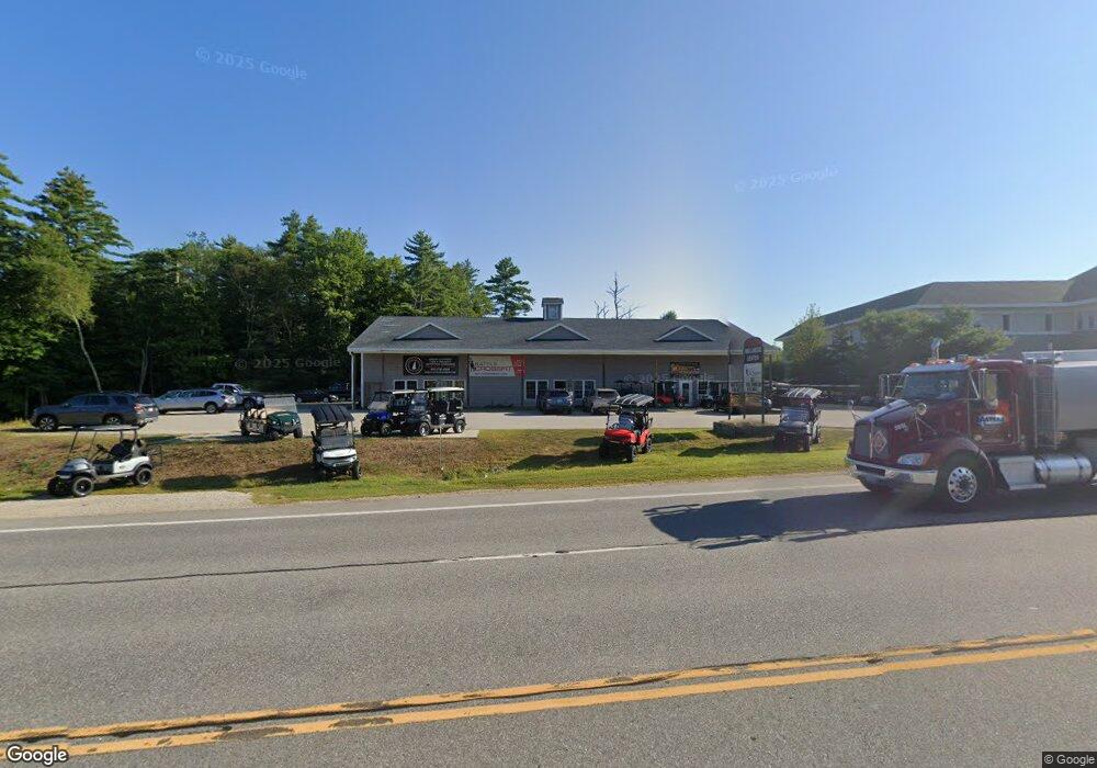
This home is located at 2008 Dover Rd, Epsom, NH 03234 and is currently estimated at $782,989, approximately $169 per square foot. 2008 Dover Rd is a home located in Merrimack County with nearby schools including Epsom Central School, Cornerstone Christian Academy, and Epsom Better Buddies.
Ownership History
Date
Name
Owned For
Owner Type
Purchase Details
Closed on
Mar 19, 2021
Sold by
Gruette Catherine M and Gruette David A
Bought by
2008 Dover Road Llc
Current Estimated Value
Home Financials for this Owner
Home Financials are based on the most recent Mortgage that was taken out on this home.
Original Mortgage
$257,500
Outstanding Balance
$229,779
Interest Rate
2.7%
Mortgage Type
Purchase Money Mortgage
Estimated Equity
$553,210
Create a Home Valuation Report for This Property
The Home Valuation Report is an in-depth analysis detailing your home's value as well as a comparison with similar homes in the area
Home Values in the Area
Average Home Value in this Area
Purchase History
| Date | Buyer | Sale Price | Title Company |
|---|---|---|---|
| 2008 Dover Road Llc | $515,000 | None Available |
Source: Public Records
Mortgage History
| Date | Status | Borrower | Loan Amount |
|---|---|---|---|
| Open | 2008 Dover Road Llc | $257,500 |
Source: Public Records
Tax History
| Year | Tax Paid | Tax Assessment Tax Assessment Total Assessment is a certain percentage of the fair market value that is determined by local assessors to be the total taxable value of land and additions on the property. | Land | Improvement |
|---|---|---|---|---|
| 2024 | $13,184 | $494,900 | $237,600 | $257,300 |
| 2023 | $12,189 | $494,900 | $237,600 | $257,300 |
| 2022 | $11,798 | $494,900 | $237,600 | $257,300 |
| 2021 | $11,699 | $494,900 | $237,600 | $257,300 |
| 2020 | $10,804 | $494,900 | $237,600 | $257,300 |
| 2019 | $12,946 | $477,900 | $215,300 | $262,600 |
| 2018 | $12,411 | $477,900 | $215,300 | $262,600 |
| 2017 | $12,268 | $477,900 | $215,300 | $262,600 |
| 2016 | $11,792 | $471,100 | $215,300 | $255,800 |
| 2015 | $11,222 | $471,100 | $215,300 | $255,800 |
| 2014 | $10,293 | $462,400 | $238,600 | $223,800 |
| 2013 | $9,913 | $439,200 | $238,600 | $200,600 |
Source: Public Records
Map
Nearby Homes
- 2005 Dover Rd
- 1988 Dover Rd
- 24 Brimstone Hill Rd
- 21 Brimstone Hill Rd
- 1080 Granny Howe Rd
- 19 Brimstone Hill Rd
- 2060 Dover Rd
- 16 Brimstone Hill Rd
- 15 Brimstone Hill Rd
- 11 Brimstone Hill Rd
- 7 Brimstone Hill Rd
- 2078 Dover Rd
- 83 Gauthier Dr Unit 82-3
- 82 Gauthier Dr Unit 82
- 1933 Dover Rd
- 00 Dover Rd
- 2080 Dover Rd
- 41 Sawyer Ave
- 1929 Dover Rd
- 27 Sawyer Ave
Your Personal Tour Guide
Ask me questions while you tour the home.