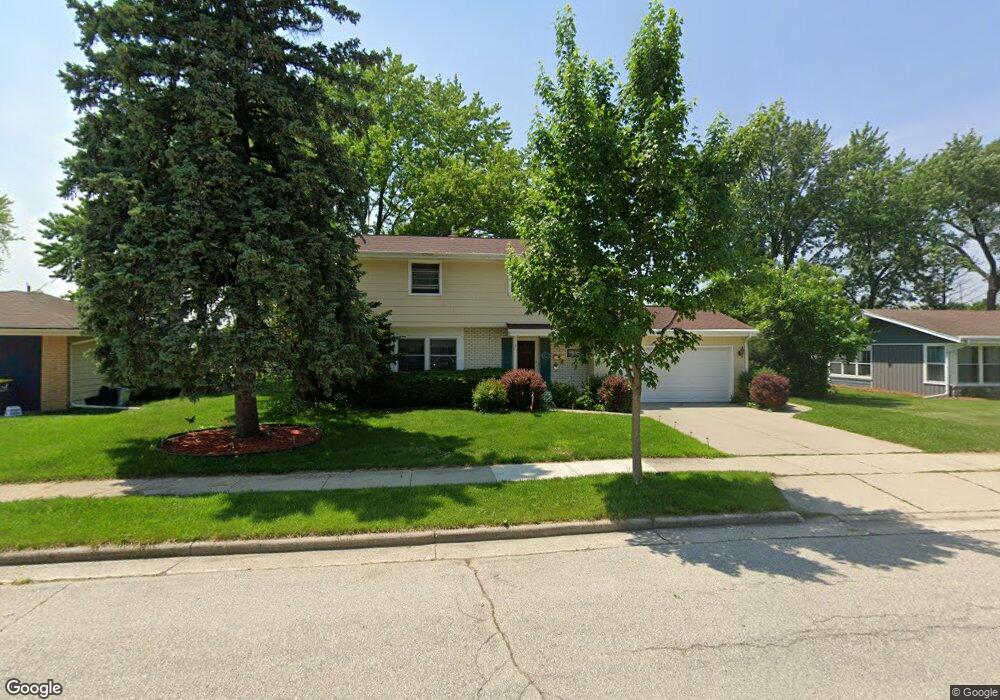
2008 Empire Dr Waukesha, WI 53186
Estimated Value: $376,000 - $407,000
4
Beds
2
Baths
1,764
Sq Ft
$219/Sq Ft
Est. Value
About This Home
This home is located at 2008 Empire Dr, Waukesha, WI 53186 and is currently estimated at $385,656, approximately $218 per square foot. 2008 Empire Dr is a home located in Waukesha County with nearby schools including John F. Miller School, Banting Elementary School, and Horning Middle School.
Ownership History
Date
Name
Owned For
Owner Type
Purchase Details
Closed on
Aug 29, 2003
Sold by
Landin Jeffrey G and Landin Patricia M
Bought by
Haidar Munzer K and El Souki Hala B
Current Estimated Value
Home Financials for this Owner
Home Financials are based on the most recent Mortgage that was taken out on this home.
Original Mortgage
$145,000
Outstanding Balance
$66,988
Interest Rate
6.18%
Mortgage Type
Purchase Money Mortgage
Estimated Equity
$318,668
Purchase Details
Closed on
Mar 29, 2000
Sold by
Acker Michael L and Acker Mary E
Bought by
Landin Jeffrey G and Landin Patricia M
Home Financials for this Owner
Home Financials are based on the most recent Mortgage that was taken out on this home.
Original Mortgage
$122,400
Interest Rate
8%
Create a Home Valuation Report for This Property
The Home Valuation Report is an in-depth analysis detailing your home's value as well as a comparison with similar homes in the area
Home Values in the Area
Average Home Value in this Area
Purchase History
| Date | Buyer | Sale Price | Title Company |
|---|---|---|---|
| Haidar Munzer K | $180,000 | -- | |
| Landin Jeffrey G | $153,000 | -- |
Source: Public Records
Mortgage History
| Date | Status | Borrower | Loan Amount |
|---|---|---|---|
| Open | Haidar Munzer K | $145,000 | |
| Previous Owner | Landin Jeffrey G | $122,400 | |
| Closed | Landin Jeffrey G | $30,600 |
Source: Public Records
Tax History Compared to Growth
Tax History
| Year | Tax Paid | Tax Assessment Tax Assessment Total Assessment is a certain percentage of the fair market value that is determined by local assessors to be the total taxable value of land and additions on the property. | Land | Improvement |
|---|---|---|---|---|
| 2024 | $4,508 | $305,000 | $60,800 | $244,200 |
| 2023 | $4,379 | $305,000 | $60,800 | $244,200 |
| 2022 | $4,345 | $216,500 | $54,800 | $161,700 |
| 2021 | $4,222 | $216,500 | $54,800 | $161,700 |
| 2020 | $4,084 | $216,500 | $54,800 | $161,700 |
| 2019 | $3,954 | $216,500 | $54,800 | $161,700 |
| 2018 | $3,700 | $198,600 | $48,800 | $149,800 |
| 2017 | $3,693 | $198,600 | $48,800 | $149,800 |
| 2016 | $3,538 | $178,900 | $48,800 | $130,100 |
| 2015 | $3,518 | $178,900 | $48,800 | $130,100 |
| 2014 | $3,595 | $175,400 | $48,800 | $126,600 |
| 2013 | $3,595 | $175,400 | $48,800 | $126,600 |
Source: Public Records
Map
Nearby Homes
- 1112 Gertrude St
- 1116 Josephine St
- 1308 Danny St
- 1471 Cleveland Ave
- 1333 Niagara St
- 1415 Niagara St Unit 109
- 918 Niagara St
- 1729 Stardust Dr Unit B
- 937 E Moreland Blvd
- 2109 Melody Ln
- 1522 Pewaukee Rd
- 925 Harding Ave
- 440 Gascoigne Dr
- 526 Peters Dr
- 1021 Aurora St
- 1139 White Rock Ave
- 1021 Arcadian Ave
- N10W23564 Robinhood Ct
- 512 E Main St
- 720 E Saint Paul Ave
- 2014 Empire Dr
- 2000 Empire Dr
- 2009 Cardinal Dr
- 1429 Empire Ct
- 2020 Empire Dr
- 2006 Cardinal Dr Unit 8
- 2015 Cardinal Dr
- 1938 Empire Dr
- 2014 Cardinal Dr
- 2014 Cardinal Dr Unit 2014
- 2014 Cardinal Dr Unit 2016
- 1417 Empire Ct
- 2000 Cardinal Dr
- 1933 Cardinal Dr
- 2021 Cardinal Dr
- 1423 Empire Ct
- 1424 Empire Ct
- 2025 Cardinal Dr
- 2026 Empire Dr
- 1932 Empire Dr