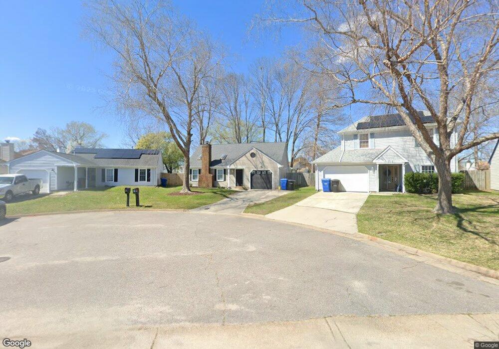
2008 Rippling Rock Dr Virginia Beach, VA 23456
Landstown NeighborhoodEstimated Value: $378,000 - $388,000
3
Beds
2
Baths
1,476
Sq Ft
$259/Sq Ft
Est. Value
About This Home
This home is located at 2008 Rippling Rock Dr, Virginia Beach, VA 23456 and is currently estimated at $382,640, approximately $259 per square foot. 2008 Rippling Rock Dr is a home located in Virginia Beach City with nearby schools including Landstown Elementary School, Landstown Middle School, and Landstown High School.
Ownership History
Date
Name
Owned For
Owner Type
Purchase Details
Closed on
Jun 14, 2024
Sold by
Lualhati Cezar R and Lualhati Caezarny A
Bought by
Siemieniak Meghan R and Siemieniak Richard A
Current Estimated Value
Home Financials for this Owner
Home Financials are based on the most recent Mortgage that was taken out on this home.
Original Mortgage
$351,037
Outstanding Balance
$346,531
Interest Rate
6.99%
Mortgage Type
FHA
Estimated Equity
$36,109
Create a Home Valuation Report for This Property
The Home Valuation Report is an in-depth analysis detailing your home's value as well as a comparison with similar homes in the area
Home Values in the Area
Average Home Value in this Area
Purchase History
| Date | Buyer | Sale Price | Title Company |
|---|---|---|---|
| Siemieniak Meghan R | $365,000 | Old Republic National Title In |
Source: Public Records
Mortgage History
| Date | Status | Borrower | Loan Amount |
|---|---|---|---|
| Open | Siemieniak Meghan R | $351,037 |
Source: Public Records
Tax History Compared to Growth
Tax History
| Year | Tax Paid | Tax Assessment Tax Assessment Total Assessment is a certain percentage of the fair market value that is determined by local assessors to be the total taxable value of land and additions on the property. | Land | Improvement |
|---|---|---|---|---|
| 2025 | $3,096 | $339,400 | $130,000 | $209,400 |
| 2024 | $3,096 | $319,200 | $115,000 | $204,200 |
| 2023 | $3,104 | $313,500 | $108,000 | $205,500 |
| 2022 | $2,721 | $274,800 | $100,000 | $174,800 |
| 2021 | $2,384 | $240,800 | $86,000 | $154,800 |
| 2020 | $2,266 | $222,700 | $86,000 | $136,700 |
| 2019 | $2,251 | $216,800 | $85,000 | $131,800 |
| 2018 | $2,173 | $216,800 | $85,000 | $131,800 |
| 2017 | $2,071 | $206,600 | $85,000 | $121,600 |
| 2016 | $2,018 | $203,800 | $85,000 | $118,800 |
| 2015 | $1,994 | $201,400 | $85,000 | $116,400 |
| 2014 | $1,765 | $192,400 | $92,000 | $100,400 |
Source: Public Records
Map
Nearby Homes
- 2260 Rock Lake Loop
- 2224 Rock Lake Loop
- 1980 Aquamarine Dr
- 1845 Rock Lake Loop
- 3868 Shooting Star Dr
- 3900 Dupree Ln
- The Addison Plan at Guilford at Spence Crossing
- The Rowen Plan at Guilford at Spence Crossing
- 3829 Lasalle Dr Unit 107
- 1720 Vankar Dr Unit 308
- 1720 Vankar Dr Unit 207
- 1720 Vankar Dr Unit 302
- 1720 Vankar Dr
- 2004 Rippling Rock Dr
- 2012 Rippling Rock Dr
- 1836 Aquamarine Dr
- 1840 Aquamarine Dr
- 2016 Rippling Rock Dr
- 1953 Rock Lake Loop
- 1832 Aquamarine Dr
- 1957 Rock Lake Loop
- 1844 Aquamarine Dr
- 1828 Aquamarine Dr
- 2020 Rippling Rock Dr
- 1949 Rock Lake Loop
- 1824 Aquamarine Dr
- 2009 Rippling Rock Dr
- 2024 Rippling Rock Dr
- 1852 Aquamarine Dr
- 2017 Rippling Rock Dr
- 2001 Rippling Rock Dr
- 1945 Rock Lake Loop
- 1820 Aquamarine Dr