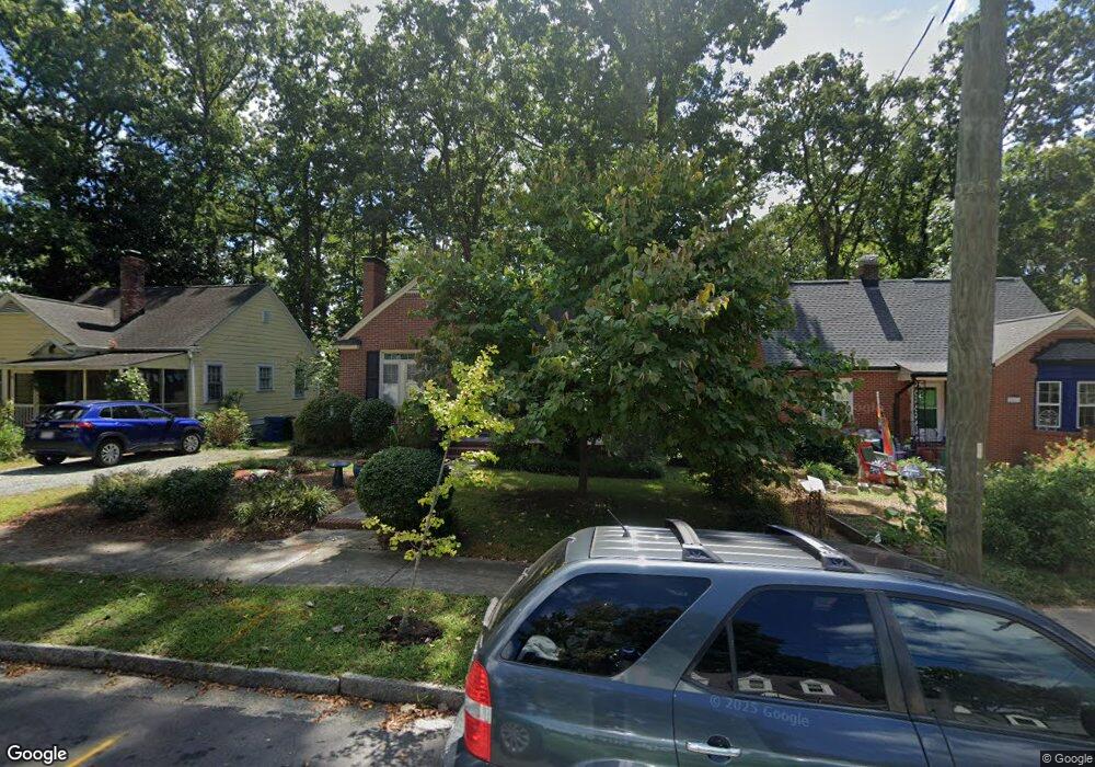
2009 Pershing St Durham, NC 27705
Watts Hospital-Hillandale NeighborhoodEstimated Value: $437,000 - $533,000
2
Beds
1
Bath
940
Sq Ft
$524/Sq Ft
Est. Value
About This Home
This home is located at 2009 Pershing St, Durham, NC 27705 and is currently estimated at $492,837, approximately $524 per square foot. 2009 Pershing St is a home located in Durham County with nearby schools including E K Powe Elementary, W.G. Pearson Elementary School, and Brogden Middle.
Ownership History
Date
Name
Owned For
Owner Type
Purchase Details
Closed on
Oct 29, 2007
Sold by
Spiller Adam and Spiller Marie
Bought by
Tessaro Irene A
Current Estimated Value
Purchase Details
Closed on
Aug 31, 2005
Sold by
Whitfield Worth H and Whitfield Diana M
Bought by
Spiller Adam and Spiller Marie
Home Financials for this Owner
Home Financials are based on the most recent Mortgage that was taken out on this home.
Original Mortgage
$111,920
Interest Rate
5.64%
Mortgage Type
Fannie Mae Freddie Mac
Purchase Details
Closed on
May 29, 2003
Sold by
Brown Samuel N and Keller Brown Mary C
Bought by
Whitfield Worth H and Whitfield Diana M
Home Financials for this Owner
Home Financials are based on the most recent Mortgage that was taken out on this home.
Original Mortgage
$111,900
Interest Rate
5.79%
Mortgage Type
Purchase Money Mortgage
Purchase Details
Closed on
Apr 11, 2000
Sold by
Sammond Douglas M and Wallander Deanne Wallander
Bought by
Brown Samuel N and Keller Brown Mary C
Home Financials for this Owner
Home Financials are based on the most recent Mortgage that was taken out on this home.
Original Mortgage
$75,000
Interest Rate
8.29%
Purchase Details
Closed on
Feb 23, 1998
Sold by
Turkington Timothy G and Turkington Shelley H
Bought by
Sammond Douglas M and Wallander Deanne
Home Financials for this Owner
Home Financials are based on the most recent Mortgage that was taken out on this home.
Original Mortgage
$98,800
Interest Rate
6.89%
Create a Home Valuation Report for This Property
The Home Valuation Report is an in-depth analysis detailing your home's value as well as a comparison with similar homes in the area
Home Values in the Area
Average Home Value in this Area
Purchase History
| Date | Buyer | Sale Price | Title Company |
|---|---|---|---|
| Tessaro Irene A | $198,000 | None Available | |
| Spiller Adam | $140,000 | -- | |
| Whitfield Worth H | $140,000 | -- | |
| Brown Samuel N | $125,000 | -- | |
| Sammond Douglas M | $104,000 | -- |
Source: Public Records
Mortgage History
| Date | Status | Borrower | Loan Amount |
|---|---|---|---|
| Previous Owner | Spiller Adam | $111,920 | |
| Previous Owner | Whitfield Worth H | $111,900 | |
| Previous Owner | Brown Samuel N | $75,000 | |
| Previous Owner | Sammond Douglas M | $98,800 |
Source: Public Records
Tax History
| Year | Tax Paid | Tax Assessment Tax Assessment Total Assessment is a certain percentage of the fair market value that is determined by local assessors to be the total taxable value of land and additions on the property. | Land | Improvement |
|---|---|---|---|---|
| 2025 | $3,074 | $516,774 | $307,125 | $209,649 |
| 2024 | $2,582 | $308,544 | $105,390 | $203,154 |
| 2023 | $4,042 | $308,544 | $105,390 | $203,154 |
| 2022 | $3,949 | $308,544 | $105,390 | $203,154 |
| 2021 | $3,931 | $308,544 | $105,390 | $203,154 |
| 2020 | $3,838 | $308,544 | $105,390 | $203,154 |
| 2019 | $3,838 | $308,544 | $105,390 | $203,154 |
| 2018 | $3,962 | $292,044 | $52,695 | $239,349 |
| 2017 | $3,932 | $292,044 | $52,695 | $239,349 |
| 2016 | $3,800 | $292,044 | $52,695 | $239,349 |
| 2015 | $3,354 | $242,296 | $41,509 | $200,787 |
| 2014 | $3,354 | $242,296 | $41,509 | $200,787 |
Source: Public Records
Map
Nearby Homes
- 1401 Maryland Ave
- 2111 Pershing St
- 2101 Sunset Ave
- 2116 Pershing St
- 1106 9th St
- 1804 Sunset Ave
- 1409 Sedgefield St
- 1308 Sedgefield St Unit A
- 1007 Virgie St
- 919 Sedgefield St
- 2305 Sprunt Ave
- 1801 Forest Rd
- 1019 Sedgefield St
- 1811 Forest Rd
- 1406 W Club Blvd Unit A&B
- 1015 Sedgefield St
- 1008 Clarendon St
- 2303 Englewood Ave
- 1020 Sedgefield St
- 1708 Forest Rd
- 2011 Pershing St
- 2007 Pershing St
- 2013 Pershing St
- 2015 Pershing St
- 2010 Wilson St
- 2008 Wilson St
- 1409 Maryland Ave
- 1411 Maryland Ave
- 1407 Maryland Ave
- 2017 Pershing St
- 2010 Pershing St
- 1405 Maryland Ave
- 2014 Wilson St
- 2008 Pershing St
- 2012 Pershing St
- 2004 Pershing St
- 2019 Pershing St
- 2016 Wilson St
- 2002 Pershing St
- 2016 & 201 Pershing St
Your Personal Tour Guide
Ask me questions while you tour the home.