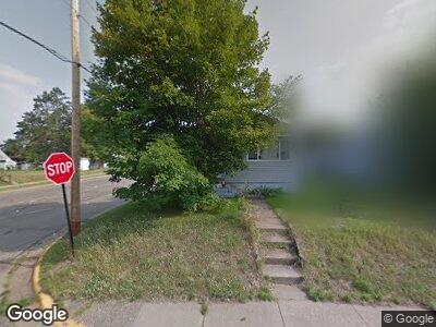
201 2nd St NE Crosby, MN 56441
Estimated Value: $146,000 - $188,000
1
Bed
--
Bath
640
Sq Ft
$265/Sq Ft
Est. Value
About This Home
This home is located at 201 2nd St NE, Crosby, MN 56441 and is currently estimated at $169,659, approximately $265 per square foot. 201 2nd St NE is a home located in Crow Wing County with nearby schools including Cuyuna Range Elementary School and Crosby-Ironton Secondary School.
Ownership History
Date
Name
Owned For
Owner Type
Purchase Details
Closed on
Feb 1, 2008
Sold by
Hannkamp Angie
Bought by
Swehla Shane D
Current Estimated Value
Purchase Details
Closed on
Sep 1, 2005
Sold by
Landree Chad M
Bought by
Auge James H
Purchase Details
Closed on
May 1, 1998
Sold by
Abear Jon W and Abear Don
Bought by
Landree Chad M
Purchase Details
Closed on
Feb 1, 1995
Bought by
Abear Jon W
Purchase Details
Closed on
Jun 1, 1994
Sold by
Merrell Dale M
Bought by
Schiermeister J
Purchase Details
Closed on
Apr 1, 1993
Sold by
Ernst Rose Mari
Bought by
Merrell Dale M
Create a Home Valuation Report for This Property
The Home Valuation Report is an in-depth analysis detailing your home's value as well as a comparison with similar homes in the area
Home Values in the Area
Average Home Value in this Area
Purchase History
| Date | Buyer | Sale Price | Title Company |
|---|---|---|---|
| Swehla Shane D | $77,500 | -- | |
| Auge James H | $72,000 | -- | |
| Landree Chad M | $20,400 | -- | |
| Abear Jon W | $20,000 | -- | |
| Schiermeister J | $16,900 | -- | |
| Merrell Dale M | $16,000 | -- |
Source: Public Records
Tax History Compared to Growth
Tax History
| Year | Tax Paid | Tax Assessment Tax Assessment Total Assessment is a certain percentage of the fair market value that is determined by local assessors to be the total taxable value of land and additions on the property. | Land | Improvement |
|---|---|---|---|---|
| 2024 | $1,266 | $120,600 | $46,400 | $74,200 |
| 2023 | $922 | $100,700 | $41,300 | $59,400 |
| 2022 | $894 | $83,100 | $26,500 | $56,600 |
| 2021 | $848 | $61,900 | $24,400 | $37,500 |
| 2020 | $1,055 | $57,400 | $23,800 | $33,600 |
| 2019 | $1,064 | $49,100 | $20,800 | $28,300 |
| 2018 | $792 | $52,400 | $20,400 | $32,000 |
| 2017 | $738 | $48,500 | $17,400 | $31,100 |
| 2016 | $788 | $44,400 | $12,400 | $32,000 |
| 2015 | $856 | $47,100 | $12,400 | $34,700 |
| 2014 | $410 | $44,900 | $9,400 | $35,500 |
Source: Public Records
Map
Nearby Homes
- 127 2nd St NE
- 132 6th St NE
- 205 6th St NE
- 16 Deblock Ln
- 206 1st St NW
- 214 3rd St NW
- 209 4th St NW
- 509 Superior Ave
- 202 6th Ave SW
- 508 Superior Ave
- 515 Franklin Ave
- 22840 Thompson Point Rd
- 20426 Evans Rd
- 213 5th St
- 22603 Retirement Ln
- 21965 Shady Walk Unit 201
- 23585 Cross Dr
- Parcel E County Road 12
- xxx Roosevelt Ave
- 21734 Cottontail Dr
- 201 2nd St NE
- 205 2nd St NE
- 209 209 2nd-Street-ne
- 202 202 2nd-Street-ne
- 131 2nd St NE
- 202 3rd St NE
- 213 2nd St NE
- 206 3rd St NE
- 202 2nd St NE
- 210 3rd St NE
- 206 2nd St NE
- 128 3rd St NE
- 128 128 3rd-Street-ne
- 217 2nd St NE
- 132 2nd St NE
- 216 3rd St NE
- 126 3rd St NE
- 123 2nd St NE
- 212 2nd St NE
- 128 2nd St NE