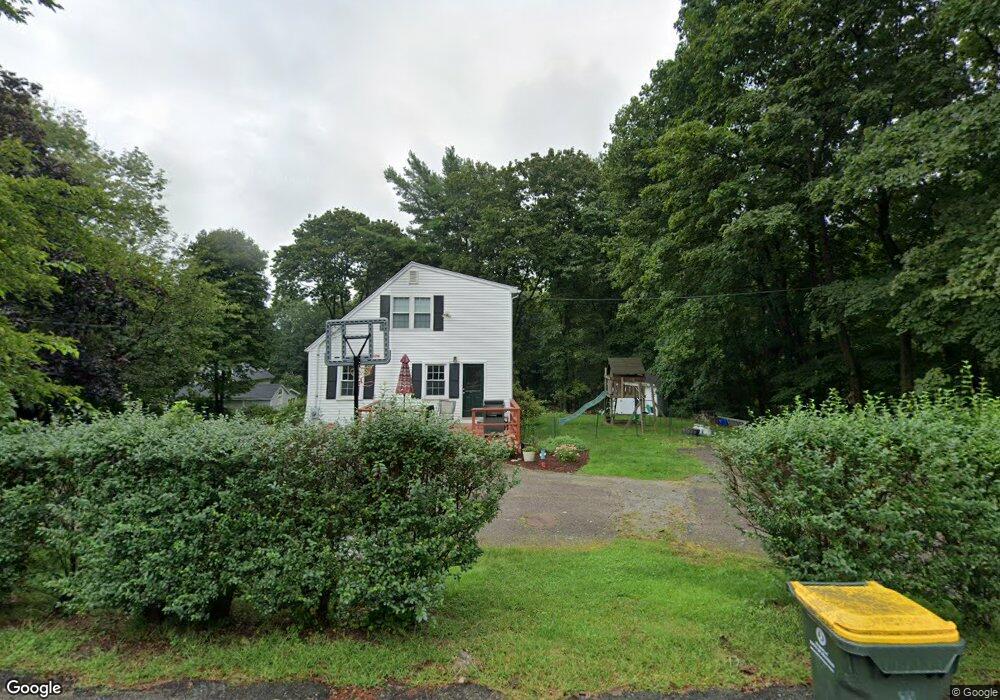
201 Bent St Franklin, MA 02038
Estimated Value: $500,000 - $634,000
3
Beds
2
Baths
1,260
Sq Ft
$440/Sq Ft
Est. Value
About This Home
This home is located at 201 Bent St, Franklin, MA 02038 and is currently estimated at $554,131, approximately $439 per square foot. 201 Bent St is a home located in Norfolk County with nearby schools including Helen Keller Elementary School, Annie Sullivan Middle School, and Franklin High School.
Ownership History
Date
Name
Owned For
Owner Type
Purchase Details
Closed on
Feb 20, 2009
Sold by
Brock Amy
Bought by
Czyryca Peter and Czyryca Trisha
Current Estimated Value
Home Financials for this Owner
Home Financials are based on the most recent Mortgage that was taken out on this home.
Original Mortgage
$249,300
Outstanding Balance
$157,250
Interest Rate
5.06%
Mortgage Type
Purchase Money Mortgage
Estimated Equity
$396,881
Create a Home Valuation Report for This Property
The Home Valuation Report is an in-depth analysis detailing your home's value as well as a comparison with similar homes in the area
Purchase History
| Date | Buyer | Sale Price | Title Company |
|---|---|---|---|
| Czyryca Peter | $277,000 | -- |
Source: Public Records
Mortgage History
| Date | Status | Borrower | Loan Amount |
|---|---|---|---|
| Open | Czyryca Peter | $249,300 |
Source: Public Records
Tax History
| Year | Tax Paid | Tax Assessment Tax Assessment Total Assessment is a certain percentage of the fair market value that is determined by local assessors to be the total taxable value of land and additions on the property. | Land | Improvement |
|---|---|---|---|---|
| 2025 | $5,232 | $450,300 | $243,400 | $206,900 |
| 2024 | $5,065 | $429,600 | $243,400 | $186,200 |
| 2023 | $5,070 | $403,000 | $253,900 | $149,100 |
| 2022 | $4,791 | $341,000 | $209,800 | $131,200 |
| 2021 | $4,489 | $306,400 | $205,700 | $100,700 |
| 2020 | $4,645 | $320,100 | $221,100 | $99,000 |
| 2019 | $4,383 | $299,000 | $200,000 | $99,000 |
| 2018 | $4,374 | $298,600 | $209,600 | $89,000 |
| 2017 | $4,101 | $281,300 | $192,300 | $89,000 |
| 2016 | $4,077 | $281,200 | $205,200 | $76,000 |
| 2015 | $3,817 | $257,200 | $181,200 | $76,000 |
| 2014 | $3,569 | $247,000 | $171,000 | $76,000 |
Source: Public Records
Map
Nearby Homes
- 839 Lincoln St
- 72 Skyline Dr
- 14 Sanford St Unit 47
- 254 Daniels St
- 10 Barber St
- 20 Broad St Unit 1
- 20 Broad St Unit 6
- 20 Broad St Unit A
- 20 Broad St Unit 4
- 24 Leanne Way Unit 24
- 29 Elm St
- 83 Oliver Pond Cir Unit 7
- 91 Oliver Pond Cir Unit 3
- 40 Lakeshore Dr
- 10 Populatic Street Extension
- 100 Daniels St
- 99 Leland Rd
- 253 Village St
- 8 Woodhaven Dr
- 48 Dover Cir
- 205 Bent St
- 9 Mechanic St
- 4 Mechanic St
- 198 Bent St
- 6 Mechanic St
- 11 Mechanic St
- 173 Bent St
- 173 Bent St Unit 1
- 14 Mechanic St
- 217 Bent St
- 214 Bent St
- 153 Bent St
- 152 Bent St
- 0 Mechanic St Unit 70565274
- 229 Bent St
- 22 Mechanic Place
- 22 Mechanic St
- 21 Mechanic St
- 14 Michelles Way
- 50 (Lot 50) Michelle Way
Your Personal Tour Guide
Ask me questions while you tour the home.