201 Brae Burn Dr Jackson, MS 39211
North Jackson NeighborhoodEstimated Value: $482,000 - $517,000
4
Beds
4
Baths
3,038
Sq Ft
$166/Sq Ft
Est. Value
About This Home
This home is located at 201 Brae Burn Dr, Jackson, MS 39211 and is currently estimated at $504,642, approximately $166 per square foot. 201 Brae Burn Dr is a home located in Hinds County with nearby schools including McLeod Elementary School, Murrah High School, and Revive Collegiate.
Ownership History
Date
Name
Owned For
Owner Type
Purchase Details
Closed on
Jul 3, 2019
Sold by
Goodman Oscar Grayce and Goodman Tatum Noblitt
Bought by
Armstrong Matt and Armstrong Lindsey
Current Estimated Value
Home Financials for this Owner
Home Financials are based on the most recent Mortgage that was taken out on this home.
Original Mortgage
$484,350
Interest Rate
3.6%
Mortgage Type
Purchase Money Mortgage
Purchase Details
Closed on
Jun 21, 2011
Sold by
Overby Phylisee Myatt
Bought by
Goodman Oscar Gray and Goodman Tatum Noblit
Create a Home Valuation Report for This Property
The Home Valuation Report is an in-depth analysis detailing your home's value as well as a comparison with similar homes in the area
Home Values in the Area
Average Home Value in this Area
Purchase History
| Date | Buyer | Sale Price | Title Company |
|---|---|---|---|
| Armstrong Matt | -- | None Available | |
| Goodman Oscar Gray | -- | -- |
Source: Public Records
Mortgage History
| Date | Status | Borrower | Loan Amount |
|---|---|---|---|
| Open | Armstrong Matt | $217,700 | |
| Previous Owner | Armstrong Matt | $484,350 |
Source: Public Records
Tax History
| Year | Tax Paid | Tax Assessment Tax Assessment Total Assessment is a certain percentage of the fair market value that is determined by local assessors to be the total taxable value of land and additions on the property. | Land | Improvement |
|---|---|---|---|---|
| 2025 | $6,361 | $35,374 | $9,975 | $25,399 |
| 2024 | $6,361 | $34,460 | $9,975 | $24,485 |
| 2023 | $6,361 | $34,460 | $9,975 | $24,485 |
| 2022 | $6,631 | $34,460 | $9,975 | $24,485 |
| 2021 | $6,331 | $34,460 | $9,975 | $24,485 |
| 2020 | $6,227 | $34,115 | $9,975 | $24,140 |
| 2019 | $6,232 | $34,115 | $9,975 | $24,140 |
| 2018 | $6,159 | $34,115 | $9,975 | $24,140 |
| 2017 | $5,535 | $31,636 | $9,975 | $21,661 |
| 2016 | $5,535 | $31,636 | $9,975 | $21,661 |
| 2015 | $5,335 | $31,475 | $9,975 | $21,500 |
| 2014 | $5,166 | $30,571 | $9,975 | $20,596 |
Source: Public Records
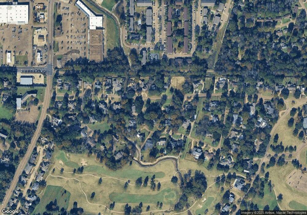
Map
Nearby Homes
- 105 Brae Burn Dr
- 127 Winged Foot Cir
- 450 Saint Andrews Dr
- 460 Saint Andrews Dr
- 58 Robinwood Place
- 919 Montrose Dr
- 143 Rolling Meadows Dr
- 47A Northtown Cir
- 4 River Oaks Place Unit A
- 43 Meadowoods Terrace
- 36B Northtown Rd Unit B
- 915 Montrose Dr
- 2455 River Oaks Blvd Unit A & B
- 913 Glastonbury Cir Unit B
- 47 Avery Cir
- 735 Wicklow Place Unit A
- 0 Autumn Hill Ct Unit 17
- 11 Moss Forest Cir
- 128 N Brighton Dr
- 214 River Place
- 110 Olympia Fields
- 209 Brae Burn Dr
- 101 Olympia Fields
- 202 Brae Burn Dr
- 200 Brae Burn Dr
- 126 Olympia Fields
- 105 Olympia Fields
- 158 Brae Burn Dr
- 111 Olympia Fields
- 151 Brae Burn Dr
- 218 Brae Burn Dr
- 217 Brae Burn Dr
- 134 Olympia Fields
- 150 Brae Burn Dr
- 127 Olympia Fields
- 133 Olympia Fields
- 121 Olympia Fields
- 124 Cherry Hills Dr
- 145 Brae Burn Dr
- 220 Brae Burn Dr