Estimated Value: $295,897 - $314,000
3
Beds
2
Baths
2,171
Sq Ft
$141/Sq Ft
Est. Value
About This Home
This home is located at 201 Britton Ct, Byram, MS 39272 and is currently estimated at $305,474, approximately $140 per square foot. 201 Britton Ct is a home located in Hinds County with nearby schools including Gary Road Elementary School, Gary Road Intermediate School, and Byram Middle School.
Ownership History
Date
Name
Owned For
Owner Type
Purchase Details
Closed on
Jan 3, 2018
Sold by
Jones Lashanda D
Bought by
Lakendrix-Jones Michael
Current Estimated Value
Home Financials for this Owner
Home Financials are based on the most recent Mortgage that was taken out on this home.
Original Mortgage
$206,277
Outstanding Balance
$172,629
Interest Rate
3.62%
Mortgage Type
FHA
Estimated Equity
$132,845
Create a Home Valuation Report for This Property
The Home Valuation Report is an in-depth analysis detailing your home's value as well as a comparison with similar homes in the area
Home Values in the Area
Average Home Value in this Area
Purchase History
| Date | Buyer | Sale Price | Title Company |
|---|---|---|---|
| Lakendrix-Jones Michael | -- | -- |
Source: Public Records
Mortgage History
| Date | Status | Borrower | Loan Amount |
|---|---|---|---|
| Open | Lakendrix-Jones Michael | $206,277 |
Source: Public Records
Tax History
| Year | Tax Paid | Tax Assessment Tax Assessment Total Assessment is a certain percentage of the fair market value that is determined by local assessors to be the total taxable value of land and additions on the property. | Land | Improvement |
|---|---|---|---|---|
| 2025 | $4,946 | $32,243 | $4,500 | $27,743 |
| 2024 | $4,946 | $31,616 | $4,500 | $27,116 |
| 2023 | $4,946 | $21,058 | $3,000 | $18,058 |
| 2022 | $3,239 | $21,058 | $3,000 | $18,058 |
| 2021 | $2,897 | $21,058 | $3,000 | $18,058 |
| 2020 | $4,658 | $31,088 | $4,500 | $26,588 |
| 2019 | $4,635 | $31,088 | $4,500 | $26,588 |
| 2018 | $2,790 | $20,725 | $3,000 | $17,725 |
| 2017 | $2,733 | $20,725 | $3,000 | $17,725 |
| 2016 | $2,733 | $20,725 | $3,000 | $17,725 |
| 2015 | $2,678 | $20,347 | $3,000 | $17,347 |
| 2014 | $2,636 | $20,347 | $3,000 | $17,347 |
Source: Public Records
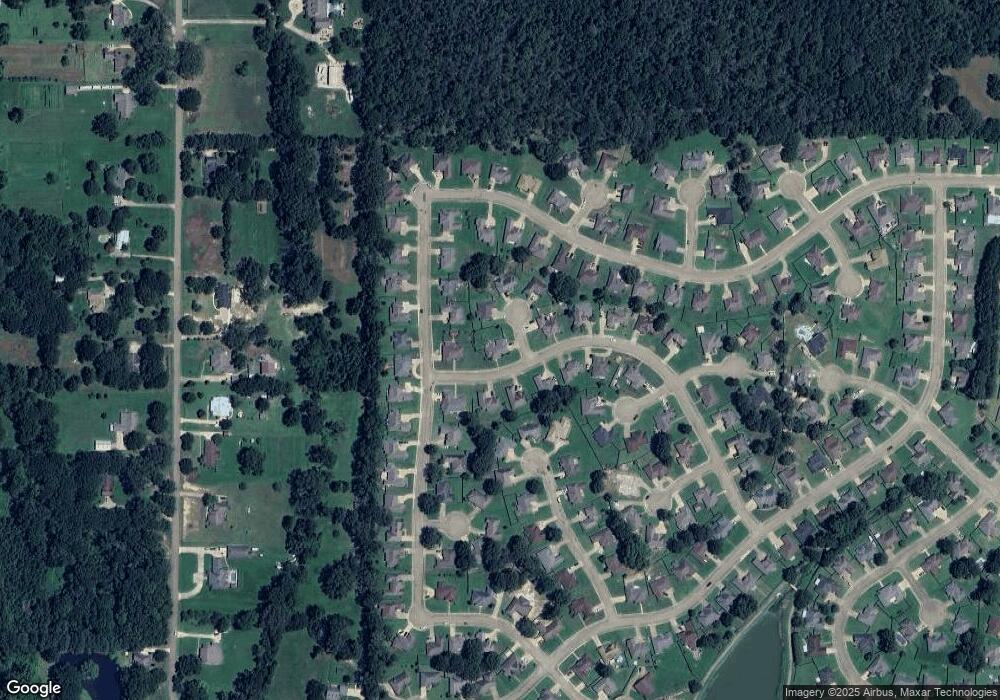
Map
Nearby Homes
- 220 Raulston Dr
- 224 Raulston Dr
- 228 Raulston Dr
- 244 Raulston Dr
- 252 Raulston Dr
- 256 Raulston Dr
- 260 Raulston Dr
- 268 Raulston Dr
- 217 Raulston Dr
- 4299 Henderson Rd
- 0000 Henderson Rd
- 807 Meadow Way Cove
- 6760 S Siwell Rd
- 0 S Siwell Rd Unit 4088750
- 0 S Siwell Rd Unit 24872982
- 702 Meadow View Cove
- A1 Meadow Dr
- 724 Forest Woods Dr
- 221 Pearlie Owens Dr
- 316 Southhaven Dr
- 205 Britton Ct
- 544 Wellington Dr
- 766 Creston Dr
- 537 Wellington Dr
- 533 Wellington Dr
- 536 Wellington Dr
- 120 Wellington Dr
- 0 Wellington Dr Unit Lot 119
- 541 Wellington Dr
- 208 Britton Ct
- 529 Wellington Dr
- 753 Creston Dr
- 204 Britton Ct
- 770 Creston Dr
- 525 Wellington Dr
- 749 Creston Dr
- 741 Creston Dr
- 737 Creston Dr
- 745 Creston Dr
- 628 Lexington Cove
Your Personal Tour Guide
Ask me questions while you tour the home.