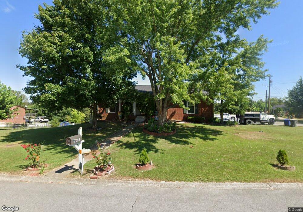
201 Carls Place Springfield, TN 37172
Estimated Value: $267,000 - $290,000
Studio
2
Baths
1,326
Sq Ft
$207/Sq Ft
Est. Value
About This Home
This home is located at 201 Carls Place, Springfield, TN 37172 and is currently estimated at $274,124, approximately $206 per square foot. 201 Carls Place is a home located in Robertson County with nearby schools including Coopertown Elementary School, Coopertown Middle School, and Springfield High School.
Ownership History
Date
Name
Owned For
Owner Type
Purchase Details
Closed on
Feb 17, 2006
Sold by
Etvir Beerman Karen Denise
Bought by
Ixcoy Luis P
Current Estimated Value
Home Financials for this Owner
Home Financials are based on the most recent Mortgage that was taken out on this home.
Original Mortgage
$109,777
Outstanding Balance
$60,505
Interest Rate
6.04%
Estimated Equity
$213,619
Purchase Details
Closed on
Oct 25, 2001
Sold by
Beerman Karen D
Bought by
Beerman Karen D and Beerman Jeremy L
Purchase Details
Closed on
Mar 8, 2000
Sold by
Temple Jimmy L
Bought by
Bush Karen D
Purchase Details
Closed on
Apr 1, 1998
Sold by
Dorris Timothy L
Bought by
Temple Jimmy L
Home Financials for this Owner
Home Financials are based on the most recent Mortgage that was taken out on this home.
Original Mortgage
$80,419
Interest Rate
7.06%
Purchase Details
Closed on
Jun 22, 1995
Bought by
Dorris Timothy L
Create a Home Valuation Report for This Property
The Home Valuation Report is an in-depth analysis detailing your home's value as well as a comparison with similar homes in the area
Home Values in the Area
Average Home Value in this Area
Purchase History
| Date | Buyer | Sale Price | Title Company |
|---|---|---|---|
| Ixcoy Luis P | $111,500 | -- | |
| Beerman Karen D | -- | -- | |
| Bush Karen D | $88,500 | -- | |
| Temple Jimmy L | $80,000 | -- | |
| Dorris Timothy L | $72,107 | -- |
Source: Public Records
Mortgage History
| Date | Status | Borrower | Loan Amount |
|---|---|---|---|
| Open | Dorris Timothy L | $109,777 | |
| Previous Owner | Dorris Timothy L | $80,419 |
Source: Public Records
Tax History
| Year | Tax Paid | Tax Assessment Tax Assessment Total Assessment is a certain percentage of the fair market value that is determined by local assessors to be the total taxable value of land and additions on the property. | Land | Improvement |
|---|---|---|---|---|
| 2025 | -- | $53,000 | $13,750 | $39,250 |
| 2024 | -- | $53,000 | $13,750 | $39,250 |
| 2023 | $1,328 | $53,000 | $13,750 | $39,250 |
| 2022 | $1,331 | $36,475 | $6,200 | $30,275 |
| 2021 | $1,331 | $36,475 | $6,200 | $30,275 |
| 2020 | $1,331 | $36,475 | $6,200 | $30,275 |
| 2019 | $40,040 | $36,475 | $6,200 | $30,275 |
| 2018 | $1,331 | $36,475 | $6,200 | $30,275 |
| 2017 | $1,178 | $27,475 | $5,250 | $22,225 |
| 2016 | $1,178 | $27,475 | $5,250 | $22,225 |
| 2015 | $1,143 | $27,475 | $5,250 | $22,225 |
| 2014 | $1,143 | $27,475 | $5,250 | $22,225 |
Source: Public Records
Map
Nearby Homes
- 5148 Highway 49 W
- 588 19th Ave W
- 7373 New Chapel Rd
- 2086 Beverly Ct
- 2060 Beverly Ct
- 213 21st Ave W
- 2067 Bessie St
- 2083 Bessie St
- 2130 Bessie St
- 1 Bessie St
- 0 Bessie St
- 1511 Cheatham St
- 301 E 22nd Ave
- 155 Julia Ann Ct
- 126 Julia Ann Ct
- 1309 Batts Blvd
- 1205 S Main St
- 458 Laramie Dr
- 1421 Lawrence Ln
- 113 11th Ave W
- 502 Westwind Dr
- 203 Carls Place
- 504 Westwind Dr
- 402 Westwind Dr
- 501 Westwind Dr
- 202 Carls Place
- 204 Carls Place
- 503 Westwind Dr
- 507 Westwind Dr
- 205 Carls Place
- 405 Westwind Dr
- 505 Westwind Dr
- 207 Rw Gordon Dr
- 205 Rw Gordon Dr
- 400 Westwind Dr
- 207 Carls Place
- 403 Westwind Dr
- 104 Teresa Ln
- 203 Rw Gordon Dr
- 102 Teresa Ln
Your Personal Tour Guide
Ask me questions while you tour the home.