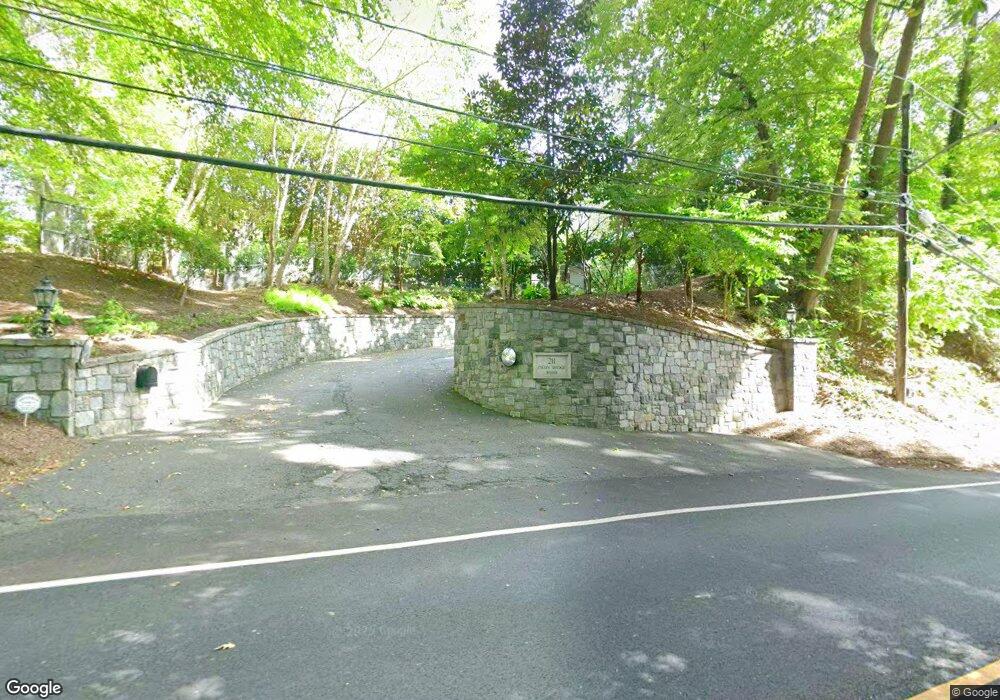
201 Chain Bridge Rd McLean, VA 22101
Old Glebe NeighborhoodEstimated Value: $2,509,000 - $12,413,537
Studio
--
Bath
1,588
Sq Ft
$4,490/Sq Ft
Est. Value
About This Home
This home is located at 201 Chain Bridge Rd, McLean, VA 22101 and is currently estimated at $7,130,179, approximately $4,490 per square foot. 201 Chain Bridge Rd is a home located in Arlington County with nearby schools including Jamestown Elementary School, Williamsburg Middle School, and Yorktown High School.
Ownership History
Date
Name
Owned For
Owner Type
Purchase Details
Closed on
Sep 25, 2016
Sold by
Hung Rodney P
Bought by
Crown Property Group A Wyoming Corporati
Current Estimated Value
Purchase Details
Closed on
Mar 7, 2003
Sold by
Decker Development
Bought by
Hunt Rodney
Purchase Details
Closed on
Dec 17, 2002
Sold by
Metcalf William
Bought by
Decker Development
Home Financials for this Owner
Home Financials are based on the most recent Mortgage that was taken out on this home.
Original Mortgage
$3,750,000
Interest Rate
6.16%
Mortgage Type
New Conventional
Create a Home Valuation Report for This Property
The Home Valuation Report is an in-depth analysis detailing your home's value as well as a comparison with similar homes in the area
Home Values in the Area
Average Home Value in this Area
Purchase History
| Date | Buyer | Sale Price | Title Company |
|---|---|---|---|
| Crown Property Group A Wyoming Corporati | -- | None Available | |
| Hunt Rodney | $5,325,000 | -- | |
| Decker Development | $4,950,000 | -- |
Source: Public Records
Mortgage History
| Date | Status | Borrower | Loan Amount |
|---|---|---|---|
| Previous Owner | Decker Development | $3,750,000 |
Source: Public Records
Tax History
| Year | Tax Paid | Tax Assessment Tax Assessment Total Assessment is a certain percentage of the fair market value that is determined by local assessors to be the total taxable value of land and additions on the property. | Land | Improvement |
|---|---|---|---|---|
| 2025 | $42,359 | $4,100,600 | $4,100,600 | -- |
| 2024 | $36,711 | $3,553,800 | $3,553,800 | $0 |
| 2023 | $36,604 | $3,553,800 | $3,553,800 | $0 |
| 2022 | $34,258 | $3,326,000 | $3,326,000 | $0 |
| 2021 | $32,381 | $3,143,800 | $3,143,800 | $0 |
| 2020 | $31,554 | $3,075,400 | $3,075,400 | $0 |
| 2019 | $30,619 | $2,984,300 | $2,984,300 | $0 |
| 2018 | $30,022 | $2,984,300 | $2,984,300 | $0 |
| 2017 | $30,022 | $2,984,300 | $2,984,300 | $0 |
| 2016 | $28,220 | $2,847,600 | $2,847,600 | $0 |
| 2015 | $28,362 | $2,847,600 | $2,847,600 | $0 |
| 2014 | $26,774 | $2,688,200 | $2,688,200 | $0 |
Source: Public Records
Map
Nearby Homes
- 400 Chain Bridge Rd
- 5801 Potomac Ave NW
- 5624 Sherier Place NW
- 5631 Macarthur Blvd NW
- 3916 Military Rd
- 5519 Sherier Place NW
- 5431 Potomac Ave NW
- 4054 41st St N
- 1317 Merrie Ridge Rd
- 3717 N Nelson St
- 5232 Macomb St NW
- 4920 Palisade Ln NW
- 5085 Lowell St NW
- 702 Belgrove Rd
- 1468 Highwood Dr
- 3633 N Nelson St
- 5122 Cathedral Ave NW
- 5070 Millwood Ln NW
- 5042 Overlook Rd NW
- 4283 38th St N
- 189 Chain Bridge Rd
- 211 Chain Bridge Rd
- 187 Chain Bridge Rd
- 183 Chain Bridge Rd
- 185 Chain Bridge Rd
- 3901 44th St N
- 181 Chain Bridge Rd
- 181 Chain Bridge Rd Unit 1
- 3909 44th St N
- 3915 44th St N
- 175 Chain Bridge Rd
- 3915 44th St N
- 3905 44th St N
- 175 Chain Bridge Rd
- 405 Chain Bridge Rd
- 407 Chain Bridge Rd
- 404 Chain Bridge Rd
- 404 Chain Bridge Rd
- 408 Chain Bridge Rd
- 406 Chain Bridge Rd
Your Personal Tour Guide
Ask me questions while you tour the home.