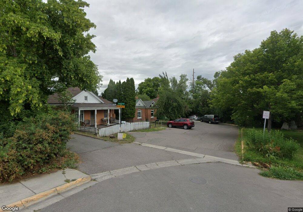
201 Chestnut St Missoula, MT 59801
Riverfront NeighborhoodEstimated Value: $487,000 - $825,000
4
Beds
2
Baths
1,242
Sq Ft
$470/Sq Ft
Est. Value
About This Home
This home is located at 201 Chestnut St, Missoula, MT 59801 and is currently estimated at $584,141, approximately $470 per square foot. 201 Chestnut St is a home located in Missoula County with nearby schools including Paxson School, Washington Middle School, and Hellgate High School.
Ownership History
Date
Name
Owned For
Owner Type
Purchase Details
Closed on
Jun 18, 2013
Sold by
Baird Joel
Bought by
Arrowleaf Construction Llc
Current Estimated Value
Purchase Details
Closed on
Nov 23, 2012
Sold by
Baird Joel and Dwyer Sean
Bought by
Baird Joel
Home Financials for this Owner
Home Financials are based on the most recent Mortgage that was taken out on this home.
Original Mortgage
$157,500
Interest Rate
3.35%
Mortgage Type
New Conventional
Purchase Details
Closed on
Nov 3, 1998
Sold by
Prata Mary E and Prata Thomas R
Bought by
Baird Joel and Dwyer Sean
Create a Home Valuation Report for This Property
The Home Valuation Report is an in-depth analysis detailing your home's value as well as a comparison with similar homes in the area
Home Values in the Area
Average Home Value in this Area
Purchase History
| Date | Buyer | Sale Price | Title Company |
|---|---|---|---|
| Arrowleaf Construction Llc | -- | None Available | |
| Baird Joel | -- | None Available | |
| Baird Joel | -- | None Available | |
| Baird Joel | -- | -- |
Source: Public Records
Mortgage History
| Date | Status | Borrower | Loan Amount |
|---|---|---|---|
| Previous Owner | Baird Joel | $157,500 |
Source: Public Records
Tax History Compared to Growth
Tax History
| Year | Tax Paid | Tax Assessment Tax Assessment Total Assessment is a certain percentage of the fair market value that is determined by local assessors to be the total taxable value of land and additions on the property. | Land | Improvement |
|---|---|---|---|---|
| 2025 | $4,865 | $587,250 | $298,130 | $289,120 |
| 2024 | $4,865 | $382,620 | $134,870 | $247,750 |
| 2023 | $4,499 | $382,620 | $134,870 | $247,750 |
| 2022 | $3,917 | $288,960 | $0 | $0 |
| 2021 | $3,510 | $288,960 | $0 | $0 |
| 2020 | $3,632 | $276,800 | $0 | $0 |
| 2019 | $3,609 | $276,800 | $0 | $0 |
| 2018 | $3,516 | $262,290 | $0 | $0 |
| 2017 | $3,456 | $262,290 | $0 | $0 |
| 2016 | $2,953 | $234,060 | $0 | $0 |
| 2015 | $2,733 | $234,060 | $0 | $0 |
| 2014 | $2,480 | $119,659 | $0 | $0 |
Source: Public Records
Map
Nearby Homes
- 512 S 2nd St W
- 601 W Broadway St
- 520 Hickory St
- 120 S 4th St W Unit 4 and 6
- 845 Wyoming St Unit C106
- 835 Wyoming St Unit 104
- 5237 Ginger Quill Rd Unit B
- 8862 Santa Anita Rd
- 8876 Santa Anita Rd
- 422 W Spruce St
- 210 Old Mill Rd Unit B
- 210 Old Mill Rd Unit A
- 410 Nora St
- 808 Ash St
- 722 Oak St
- 322 W Alder St
- 730-738 Toole Ave
- 320 S 6th St E
- 1138 Montana St
- 225 Eddy Ave
- 205 Chestnut St
- 207 Chestnut St
- 209 Chestnut St
- 215 Chestnut St
- 213 Chestnut St
- 204 Chestnut St
- 414 S 1st St W
- 422 S 1st St W
- 402 S 1st St W
- 428 S 1st St W
- 438 S 1st St W
- 332 S 1st St W Unit A
- 332 S 1st St W Unit B
- 332 S 1st St W
- 330 S 1st St W
- 334 S 1st St W
- 334 A S 1st St W
- 201 S Orange St
- 511 River St
- 502 S 1st St W