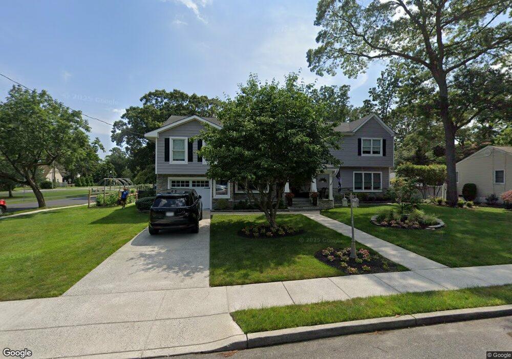
201 Davis Ave Linwood, NJ 08221
Estimated Value: $646,000 - $875,000
5
Beds
4
Baths
3,488
Sq Ft
$223/Sq Ft
Est. Value
About This Home
This home is located at 201 Davis Ave, Linwood, NJ 08221 and is currently estimated at $776,573, approximately $222 per square foot. 201 Davis Ave is a home located in Atlantic County with nearby schools including Seaview Elementary School, Belhaven Middle School, and Mainland Regional High School.
Ownership History
Date
Name
Owned For
Owner Type
Purchase Details
Closed on
Jan 5, 2002
Sold by
Bryant Earl W and Bryant Eleanor N
Bought by
Pierce Clay T and Pierce Jennifer P
Current Estimated Value
Home Financials for this Owner
Home Financials are based on the most recent Mortgage that was taken out on this home.
Original Mortgage
$30,750
Interest Rate
6.33%
Mortgage Type
Stand Alone Second
Create a Home Valuation Report for This Property
The Home Valuation Report is an in-depth analysis detailing your home's value as well as a comparison with similar homes in the area
Home Values in the Area
Average Home Value in this Area
Purchase History
| Date | Buyer | Sale Price | Title Company |
|---|---|---|---|
| Pierce Clay T | $205,000 | -- |
Source: Public Records
Mortgage History
| Date | Status | Borrower | Loan Amount |
|---|---|---|---|
| Closed | Pierce Clay T | $30,750 | |
| Previous Owner | Pierce Clay T | $164,000 |
Source: Public Records
Tax History Compared to Growth
Tax History
| Year | Tax Paid | Tax Assessment Tax Assessment Total Assessment is a certain percentage of the fair market value that is determined by local assessors to be the total taxable value of land and additions on the property. | Land | Improvement |
|---|---|---|---|---|
| 2025 | $15,935 | $417,700 | $112,700 | $305,000 |
| 2024 | $15,935 | $417,700 | $112,700 | $305,000 |
| 2023 | $15,196 | $417,700 | $112,700 | $305,000 |
| 2022 | $15,196 | $417,700 | $112,700 | $305,000 |
| 2021 | $15,062 | $417,700 | $112,700 | $305,000 |
| 2020 | $13,861 | $389,800 | $112,700 | $277,100 |
| 2019 | $13,565 | $389,800 | $112,700 | $277,100 |
| 2018 | $13,261 | $389,800 | $112,700 | $277,100 |
| 2017 | $12,996 | $389,800 | $112,700 | $277,100 |
| 2016 | $12,559 | $389,800 | $112,700 | $277,100 |
| 2015 | $12,571 | $389,800 | $112,700 | $277,100 |
| 2014 | $12,121 | $391,000 | $112,700 | $278,300 |
Source: Public Records
Map
Nearby Homes
- 110 W Poplar Ave
- 104 W Poplar Ave
- 605 Shore Rd
- 309 Haines Ave
- 301 Wabash Ave
- 803 Shore Rd
- 500 Davis Ave
- 901 Oak Ave
- 105 W Edgewood Ave
- 550 G-16 Central Ave
- 550 Central Ave Unit B1
- 550 Central Ave Unit G-16 Constitution Ct
- 550 Central Ave Unit E-14
- 550 Central Ave Unit I-7
- 1050 Shore Rd
- 2 Sandy Ct
- 1011 New Rd
- 622 Central Ave
- 911 Bartlett Ave
- 1005 Bartlett Ave