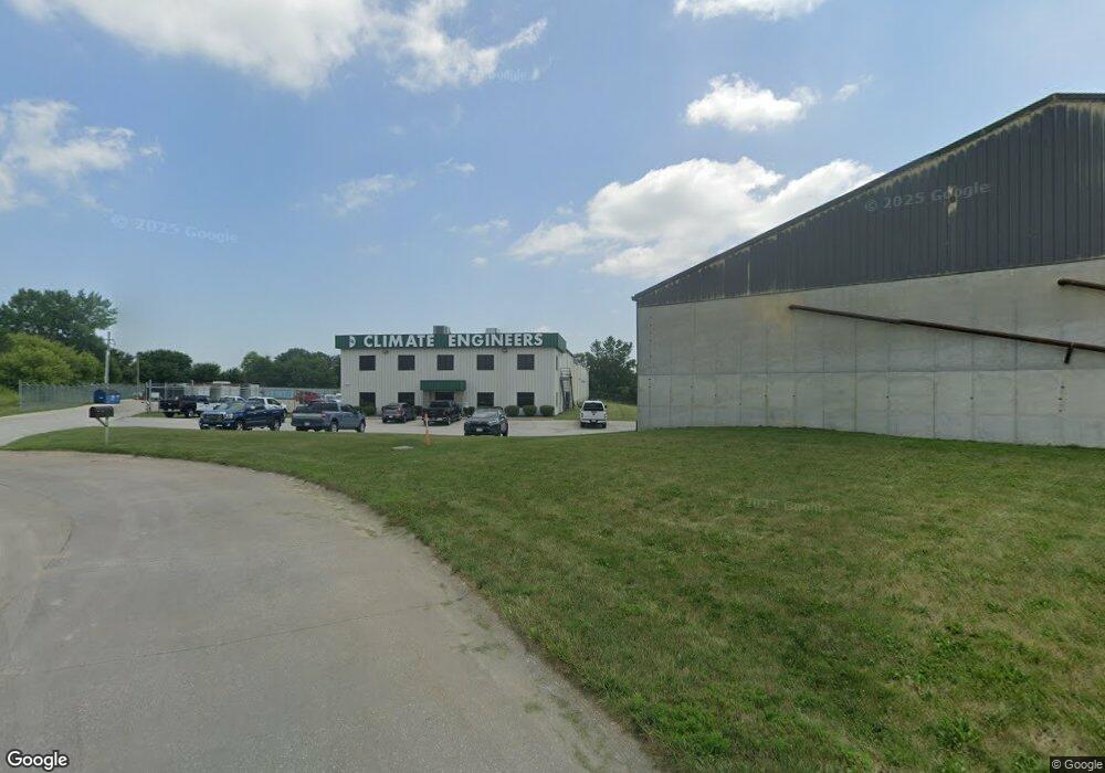
201 Fisher Ct Eldridge, IA 52748
Estimated Value: $2,330,534
--
Bed
--
Bath
5,096
Sq Ft
$457/Sq Ft
Est. Value
About This Home
This home is located at 201 Fisher Ct, Eldridge, IA 52748 and is currently estimated at $2,330,534, approximately $457 per square foot. 201 Fisher Ct is a home located in Scott County with nearby schools including Alan Shepard Elementary School, North Scott Junior High School, and North Scott Senior High School.
Ownership History
Date
Name
Owned For
Owner Type
Purchase Details
Closed on
Jul 30, 2010
Sold by
Vegter Properties Llc
Bought by
Climate Qc Realty Investments Llc
Current Estimated Value
Home Financials for this Owner
Home Financials are based on the most recent Mortgage that was taken out on this home.
Original Mortgage
$880,000
Outstanding Balance
$584,406
Interest Rate
4.63%
Mortgage Type
Purchase Money Mortgage
Estimated Equity
$1,746,128
Create a Home Valuation Report for This Property
The Home Valuation Report is an in-depth analysis detailing your home's value as well as a comparison with similar homes in the area
Home Values in the Area
Average Home Value in this Area
Purchase History
| Date | Buyer | Sale Price | Title Company |
|---|---|---|---|
| Climate Qc Realty Investments Llc | $1,050,000 | None Available |
Source: Public Records
Mortgage History
| Date | Status | Borrower | Loan Amount |
|---|---|---|---|
| Open | Climate Qc Realty Investments Llc | $880,000 |
Source: Public Records
Tax History Compared to Growth
Tax History
| Year | Tax Paid | Tax Assessment Tax Assessment Total Assessment is a certain percentage of the fair market value that is determined by local assessors to be the total taxable value of land and additions on the property. | Land | Improvement |
|---|---|---|---|---|
| 2025 | $29,086 | $1,252,800 | $265,600 | $987,200 |
| 2024 | $28,972 | $1,266,800 | $265,600 | $1,001,200 |
| 2023 | $21,610 | $1,266,800 | $265,600 | $1,001,200 |
| 2022 | $20,598 | $961,340 | $135,000 | $826,340 |
| 2021 | $20,598 | $961,340 | $135,000 | $826,340 |
| 2020 | $19,598 | $917,980 | $135,000 | $782,980 |
| 2019 | $19,622 | $917,980 | $135,000 | $782,980 |
| 2018 | $20,514 | $917,980 | $135,000 | $782,980 |
| 2017 | $8,262 | $917,980 | $135,000 | $782,980 |
| 2016 | $20,252 | $908,770 | $0 | $0 |
| 2015 | $20,252 | $0 | $0 | $0 |
| 2014 | $19,748 | $0 | $0 | $0 |
| 2013 | $22,190 | $0 | $0 | $0 |
| 2012 | -- | $1,044,630 | $135,000 | $909,630 |
Source: Public Records
Map
Nearby Homes
- Lot 28 Linden Ln
- 1704 Redbud Cir Unit 101
- 1704 Redbud Cir Unit 103
- 1704 Redbud Cir Unit 102
- Lot 22 S 5th St
- 1867 Redbud Cir Unit 103
- 1832 Redbud Cir
- 1875 Redbud Cir Unit 101
- 1867 Redbud Cir Unit 102
- 1867 Redbud Cir Unit 101
- 1875 Redbud Cir Unit 102
- 1875 Redbud Cir Unit 103
- 1719 S 5th St
- 1719 5th St
- The Remington Plan at Grunwald Grove
- 201 Fisher Ct
- 151 Fisher Ct
- 2901 S 9th Ave
- 2901 S 9th Ave
- 1480 Fox Ridge Rd
- 1400 Fox Ridge Rd
- 1070 Fox Ridge Rd
- 3220 S 1st St
- 501 Blackhawk Trail
- 3224 S 1st St
- 950 Blackhawk Trail
- 3420 S 11th Ave
- 451 Blackhawk Trail
- 601 Blackhawk Trail
- 3400 S 11th Ave Unit 12E
- 1839 S 11th Ave
- 1824 S 11th Ave
- 1820 S 11th Ave
- 1835 S 11th Ave
- 1831 S 11th Ave