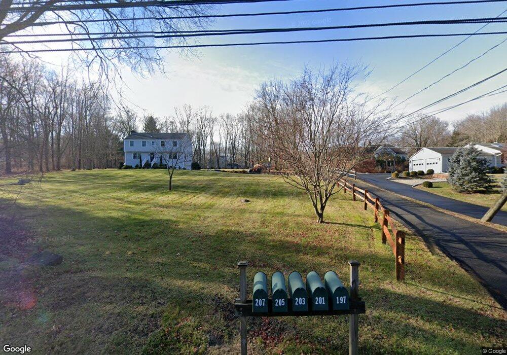
201 Georgetown Rd Weston, CT 06883
Estimated Value: $1,327,000 - $1,563,077
5
Beds
5
Baths
4,260
Sq Ft
$341/Sq Ft
Est. Value
About This Home
This home is located at 201 Georgetown Rd, Weston, CT 06883 and is currently estimated at $1,452,519, approximately $340 per square foot. 201 Georgetown Rd is a home located in Fairfield County with nearby schools including Hurlbutt Elementary School, Weston Intermediate School, and Weston Middle School.
Ownership History
Date
Name
Owned For
Owner Type
Purchase Details
Closed on
Jul 15, 1996
Sold by
Zarnowski Isabel and Meddick Jeanne
Bought by
Szeligowski Tomasz and Szeligowski Halina
Current Estimated Value
Home Financials for this Owner
Home Financials are based on the most recent Mortgage that was taken out on this home.
Original Mortgage
$80,000
Interest Rate
4.95%
Mortgage Type
Unknown
Create a Home Valuation Report for This Property
The Home Valuation Report is an in-depth analysis detailing your home's value as well as a comparison with similar homes in the area
Home Values in the Area
Average Home Value in this Area
Purchase History
| Date | Buyer | Sale Price | Title Company |
|---|---|---|---|
| Szeligowski Tomasz | $225,000 | -- |
Source: Public Records
Mortgage History
| Date | Status | Borrower | Loan Amount |
|---|---|---|---|
| Closed | Szeligowski Tomasz | $160,000 | |
| Closed | Szeligowski Tomasz | $70,000 | |
| Closed | Szeligowski Tomasz | $80,000 |
Source: Public Records
Tax History Compared to Growth
Tax History
| Year | Tax Paid | Tax Assessment Tax Assessment Total Assessment is a certain percentage of the fair market value that is determined by local assessors to be the total taxable value of land and additions on the property. | Land | Improvement |
|---|---|---|---|---|
| 2025 | $19,591 | $819,700 | $151,340 | $668,360 |
| 2024 | $19,238 | $819,700 | $151,340 | $668,360 |
| 2023 | $18,893 | $571,480 | $151,340 | $420,140 |
| 2022 | $18,842 | $571,480 | $151,340 | $420,140 |
| 2021 | $18,813 | $571,480 | $151,340 | $420,140 |
| 2020 | $18,499 | $571,480 | $151,340 | $420,140 |
| 2019 | $18,499 | $571,480 | $151,340 | $420,140 |
| 2018 | $18,789 | $639,300 | $157,400 | $481,900 |
| 2017 | $18,482 | $639,300 | $157,400 | $481,900 |
| 2016 | $18,258 | $639,300 | $157,400 | $481,900 |
| 2015 | $18,329 | $639,300 | $157,400 | $481,900 |
| 2014 | $18,054 | $639,300 | $157,400 | $481,900 |
Source: Public Records
Map
Nearby Homes
- 23 Wilson Rd
- 30 Black Alder Ln
- 15 Mountain View Dr
- 38 Honey Hill Rd
- 4 Trails End Rd
- 25 Samuelson Rd
- 28 Old Orchard Dr
- 96 Georgetown Rd
- 326 Georgetown Rd
- 335 Georgetown Rd
- 12 Upper Parish Dr
- 00 Old Mill Rd
- 33 Cannon Rd
- 20 Georgetown Rd
- 46 Old Farm Rd
- 193 Newtown Turnpike
- 0 Old Mill Rd
- 30 Coley Rd
- 27 Rogues Ridge
- 185 Sturges Ridge Rd
- 203 Georgetown Rd
- 205 Georgetown Rd
- 197 Georgetown Rd
- 189 Georgetown Rd
- 207 Georgetown Rd
- 193 Georgetown Rd
- 187 Georgetown Rd
- 25 Cindy Ln
- 211 Georgetown Rd
- 195 Georgetown Rd
- 19 Cindy Ln
- 213 Georgetown Rd
- 3 Christopher Hill Rd
- 215 Georgetown Rd
- 15 Cindy Ln
- 185 Georgetown Rd
- 191 Georgetown Rd
- 202 Georgetown Rd
- 183 Georgetown Rd
- 208 Georgetown Rd