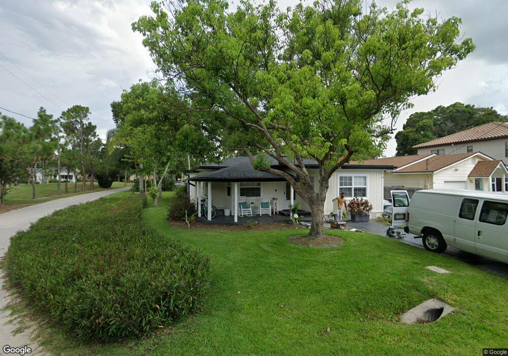
201 Hazard St Orlando, FL 32804
College Park NeighborhoodEstimated Value: $502,145 - $683,000
4
Beds
2
Baths
2,347
Sq Ft
$249/Sq Ft
Est. Value
About This Home
This home is located at 201 Hazard St, Orlando, FL 32804 and is currently estimated at $583,286, approximately $248 per square foot. 201 Hazard St is a home located in Orange County with nearby schools including Princeton Elementary School, College Park Middle School, and Edgewater High School.
Ownership History
Date
Name
Owned For
Owner Type
Purchase Details
Closed on
Dec 1, 2015
Sold by
Trowbridge David Alvin and Trowbridge Patricia Jean
Bought by
Crofton Megan
Current Estimated Value
Home Financials for this Owner
Home Financials are based on the most recent Mortgage that was taken out on this home.
Original Mortgage
$292,600
Outstanding Balance
$231,087
Interest Rate
3.83%
Mortgage Type
New Conventional
Estimated Equity
$352,199
Purchase Details
Closed on
Feb 2, 2007
Sold by
Trowbridge David Alvin and Trowbridge Patricia Jean
Bought by
Trowbridge David Alvin and Trowbridge Patricia Jean
Home Financials for this Owner
Home Financials are based on the most recent Mortgage that was taken out on this home.
Original Mortgage
$80,000
Interest Rate
6.14%
Mortgage Type
New Conventional
Create a Home Valuation Report for This Property
The Home Valuation Report is an in-depth analysis detailing your home's value as well as a comparison with similar homes in the area
Home Values in the Area
Average Home Value in this Area
Purchase History
| Date | Buyer | Sale Price | Title Company |
|---|---|---|---|
| Crofton Megan | $308,000 | Lawyers Advantage Title Grou | |
| Trowbridge David Alvin | -- | Sentry Title Company |
Source: Public Records
Mortgage History
| Date | Status | Borrower | Loan Amount |
|---|---|---|---|
| Open | Crofton Megan | $292,600 | |
| Previous Owner | Trowbridge David Alvin | $80,000 |
Source: Public Records
Tax History Compared to Growth
Tax History
| Year | Tax Paid | Tax Assessment Tax Assessment Total Assessment is a certain percentage of the fair market value that is determined by local assessors to be the total taxable value of land and additions on the property. | Land | Improvement |
|---|---|---|---|---|
| 2025 | $4,440 | $284,981 | -- | -- |
| 2024 | $4,240 | $284,981 | -- | -- |
| 2023 | $4,240 | $268,883 | $0 | $0 |
| 2022 | $4,112 | $261,051 | $0 | $0 |
| 2021 | $4,041 | $253,448 | $0 | $0 |
| 2020 | $3,845 | $249,949 | $0 | $0 |
| 2019 | $3,959 | $244,329 | $0 | $0 |
| 2018 | $3,917 | $239,773 | $0 | $0 |
| 2017 | $3,862 | $249,088 | $108,000 | $141,088 |
| 2016 | $3,842 | $230,011 | $100,000 | $130,011 |
| 2015 | $1,583 | $152,800 | $85,000 | $67,800 |
| 2014 | $1,588 | $139,073 | $85,000 | $54,073 |
Source: Public Records
Map
Nearby Homes
- 3527 Eagle Dr
- 205 Hazard St
- 305 Niblick Way
- 210 Hazard St
- 3601 Midiron Dr
- 301 Niblick Way
- 3607 Dubsdread Cir
- 3608 Dubsdread Cir
- 1250 Formosa Ave
- 1360 Formosa Ave
- 3501 Backspin Ln
- 1996 Indiana Ave
- 110 W Par St
- 3310 Amherst Ave
- 780 Baffie Ave
- 1516 Pinewood Dr
- 3303 Helen Ave
- 9 W Rosevear St
- 740 Baffie Ave
- 25 E Rosevear St
- 203 Hazard St
- 101 Hazard St
- 207 Hazard St
- 3575 Dubsdread Cir
- 200 Hazard St
- 3559 Dubsdread Cir
- 3579 Dubsdread Cir
- 209 Hazard St
- 3524 Eagle Dr
- 3526 Eagle Dr
- 0 Dubsdread Cir
- 3587 Dubsdread Cir
- 204 Hazard St
- 206 Hazard St
- 211 Hazard St
- 328 Brassie Dr
- 333 Brassie Dr
- 3591 Dubsdread Cir
- 330 Brassie Dr
- 213 Hazard St