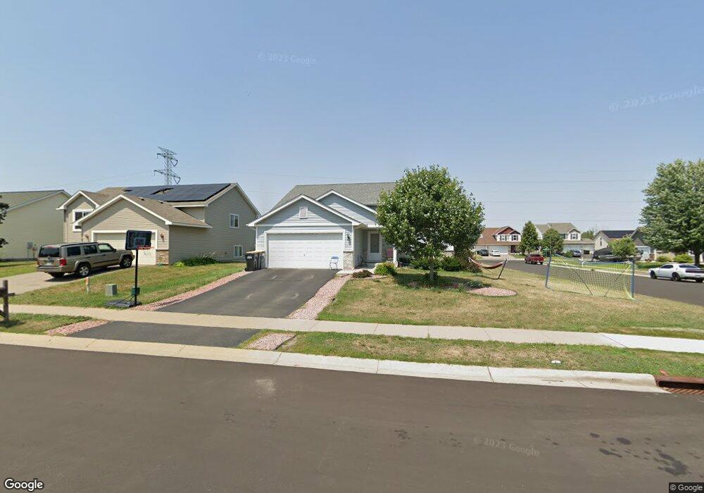
201 Morab Ave Shakopee, MN 55379
Estimated Value: $364,210 - $400,000
3
Beds
1
Bath
880
Sq Ft
$434/Sq Ft
Est. Value
About This Home
This home is located at 201 Morab Ave, Shakopee, MN 55379 and is currently estimated at $381,803, approximately $433 per square foot. 201 Morab Ave is a home with nearby schools including Jackson Elementary School, East Middle School, and Shakopee Senior High School.
Ownership History
Date
Name
Owned For
Owner Type
Purchase Details
Closed on
Apr 23, 2013
Bought by
Ewnetu Wondu Wondu
Current Estimated Value
Home Financials for this Owner
Home Financials are based on the most recent Mortgage that was taken out on this home.
Original Mortgage
$106,760
Outstanding Balance
$75,800
Interest Rate
3.6%
Mortgage Type
Stand Alone First
Estimated Equity
$306,003
Purchase Details
Closed on
Sep 1, 2010
Sold by
Shamrock Development Inc
Bought by
Twin Cities Habitat For Humanity Inc
Create a Home Valuation Report for This Property
The Home Valuation Report is an in-depth analysis detailing your home's value as well as a comparison with similar homes in the area
Home Values in the Area
Average Home Value in this Area
Purchase History
| Date | Buyer | Sale Price | Title Company |
|---|---|---|---|
| Ewnetu Wondu Wondu | $209,500 | -- | |
| Ewneth Wondu | $209,448 | Land Title Inc | |
| Twin Cities Habitat For Humanity Inc | $191,600 | -- |
Source: Public Records
Mortgage History
| Date | Status | Borrower | Loan Amount |
|---|---|---|---|
| Open | Ewneth Wondu | $106,760 | |
| Open | Ewnetu Wondu Wondu | $209,448 |
Source: Public Records
Tax History Compared to Growth
Tax History
| Year | Tax Paid | Tax Assessment Tax Assessment Total Assessment is a certain percentage of the fair market value that is determined by local assessors to be the total taxable value of land and additions on the property. | Land | Improvement |
|---|---|---|---|---|
| 2025 | $3,484 | $329,600 | $136,800 | $192,800 |
| 2024 | $3,414 | $342,600 | $148,700 | $193,900 |
| 2023 | $3,514 | $324,500 | $140,300 | $184,200 |
| 2022 | $3,306 | $328,000 | $140,300 | $187,700 |
| 2021 | $2,844 | $269,300 | $109,800 | $159,500 |
| 2020 | $3,052 | $255,700 | $99,300 | $156,400 |
| 2019 | $2,546 | $242,400 | $89,600 | $152,800 |
| 2018 | $2,978 | $0 | $0 | $0 |
| 2016 | $2,788 | $0 | $0 | $0 |
| 2014 | -- | $0 | $0 | $0 |
Source: Public Records
Map
Nearby Homes
- 233 Dongola Ln
- 125 Pottok Ln
- 1530 Mcintosh Cir
- 1679 Nordland St
- 291 Appleblossom Ln
- 726 Regent Dr
- 1573 Creekside Ln
- 1574 Liberty Cir Unit 2406
- 1646 Liberty Cir
- 1534 Liberty Cir
- 1507 Liberty Cir
- 1949 Lusitano St
- 2065 Lusitano St
- 1969 Lusitano St
- 2009 Lusitano St
- 627 Providence Dr
- 137 Hickory Ln E
- 820 Princeton Ave Unit 4505
- 1179 Cubasue Ct
- 849 Providence Dr
- 206 Dongola Ln
- 225 Morab Ave
- 218 Dongola Ln
- 1635 Breton St
- 202 Morab Ave
- 1627 Breton St
- 1643 Breton St
- 214 Morab Ave
- 230 Dongola Ln
- 237 Morab Ave
- 1619 Breton St
- 226 Morab Ave
- 1651 Breton St
- 242 Dongola Ln
- 249 Morab Ave
- 238 Morab Ave
- 1659 Breton St
- 203 Ardennes Ave W
- 203 203 Ardennes Ave
- 215 Ardennes Ave W