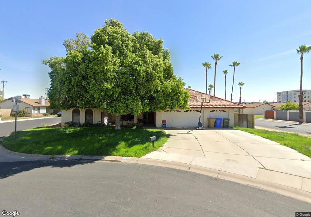
201 N 10th St Phoenix, AZ 85034
Garfield NeighborhoodEstimated Value: $443,488 - $515,000
--
Bed
2
Baths
2,099
Sq Ft
$229/Sq Ft
Est. Value
About This Home
This home is located at 201 N 10th St, Phoenix, AZ 85034 and is currently estimated at $481,122, approximately $229 per square foot. 201 N 10th St is a home located in Maricopa County with nearby schools including Garfield School, North High School, and Phoenix Coding Academy.
Ownership History
Date
Name
Owned For
Owner Type
Purchase Details
Closed on
Jun 22, 1994
Sold by
Renfro Cassandra A
Bought by
Arvizu Abraham J and Arvizu Elizabeth A
Current Estimated Value
Home Financials for this Owner
Home Financials are based on the most recent Mortgage that was taken out on this home.
Original Mortgage
$94,923
Interest Rate
8.53%
Create a Home Valuation Report for This Property
The Home Valuation Report is an in-depth analysis detailing your home's value as well as a comparison with similar homes in the area
Home Values in the Area
Average Home Value in this Area
Purchase History
| Date | Buyer | Sale Price | Title Company |
|---|---|---|---|
| Arvizu Abraham J | -- | Fiesta Title & Escrow Agency | |
| Renfro Cassandra A | -- | Fiesta Title & Escrow Agency |
Source: Public Records
Mortgage History
| Date | Status | Borrower | Loan Amount |
|---|---|---|---|
| Closed | Arvizu Abraham J | $94,923 |
Source: Public Records
Tax History Compared to Growth
Tax History
| Year | Tax Paid | Tax Assessment Tax Assessment Total Assessment is a certain percentage of the fair market value that is determined by local assessors to be the total taxable value of land and additions on the property. | Land | Improvement |
|---|---|---|---|---|
| 2025 | $1,660 | $11,686 | -- | -- |
| 2024 | $1,548 | $11,129 | -- | -- |
| 2023 | $1,548 | $36,350 | $7,270 | $29,080 |
| 2022 | $1,493 | $27,210 | $5,440 | $21,770 |
| 2021 | $1,481 | $23,150 | $4,630 | $18,520 |
| 2020 | $1,498 | $21,910 | $4,380 | $17,530 |
| 2019 | $1,496 | $16,310 | $3,260 | $13,050 |
| 2018 | $1,470 | $14,370 | $2,870 | $11,500 |
| 2017 | $1,436 | $14,570 | $2,910 | $11,660 |
| 2016 | $1,395 | $12,380 | $2,470 | $9,910 |
| 2015 | $1,124 | $10,620 | $2,120 | $8,500 |
Source: Public Records
Map
Nearby Homes
- 0 N 10th St Unit 6863109
- 101 N 7th St Unit 135
- 101 N 7th St Unit 137
- 322 N 11th Place
- 1152 E Monroe St Unit 15
- 706 E Washington St Unit 124
- 706 E Washington St Unit 204
- 706 E Washington St Unit 207
- 502 N 11th St
- 510 N 10th St
- 340 N 12th St
- 907 E Fillmore St
- 901 E Fillmore St
- 926 E Fillmore St
- 918 E Fillmore St Unit 5
- 1109 E Jackson St
- 1318 E Jefferson St
- 1211 E Fillmore St
- 331 N 13th Place
- 414 N 13th Place
- 0 N 10th St Unit 1 2907549
- 0 W 10 St Unit B 2932888
- 0 W 10 St Unit C 2932887
- 0 W 10 St Unit D 2932893
- 0 W 10 St Unit A 2932885
- 0 W 10 St Unit D 2932894
- 0 N 10th St Unit A 4033393
- 0 W 10 St Unit a
- 00XX N 10th St
- 0 N 10th St Unit 4804734
- 0 N 10th St Unit 5103565
- 0000 N 10th St Unit 98
- 0 N 10th St Unit '-' 5549970
- 0 N 10th St
- 0 N 10th St Unit 211-74-117 6663711
- 0000 N 10th St
- 0 N 10th St Unit 6207074
- 0 N 10th St Unit 5877311
- 202 N 10th Place
- 111 N 10th St