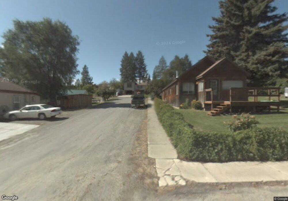
201 Park Ave Eureka, MT 59917
Estimated Value: $368,101 - $431,000
5
Beds
2
Baths
1,568
Sq Ft
$252/Sq Ft
Est. Value
About This Home
This home is located at 201 Park Ave, Eureka, MT 59917 and is currently estimated at $395,034, approximately $251 per square foot. 201 Park Ave is a home with nearby schools including Eureka Elementary School, Eureka Middle School, and Lincoln County High School.
Ownership History
Date
Name
Owned For
Owner Type
Purchase Details
Closed on
May 10, 2021
Sold by
Conard Donald G
Bought by
Nelson Bonnie J
Current Estimated Value
Purchase Details
Closed on
Apr 20, 2009
Sold by
Nelson Bonnie J
Bought by
Nelson Bonnie J and Conard Donald G
Home Financials for this Owner
Home Financials are based on the most recent Mortgage that was taken out on this home.
Original Mortgage
$132,000
Interest Rate
5.02%
Mortgage Type
New Conventional
Create a Home Valuation Report for This Property
The Home Valuation Report is an in-depth analysis detailing your home's value as well as a comparison with similar homes in the area
Home Values in the Area
Average Home Value in this Area
Purchase History
| Date | Buyer | Sale Price | Title Company |
|---|---|---|---|
| Nelson Bonnie J | -- | None Listed On Document | |
| Nelson Bonnie J | -- | First American Title Company |
Source: Public Records
Mortgage History
| Date | Status | Borrower | Loan Amount |
|---|---|---|---|
| Previous Owner | Nelson Bonnie J | $132,000 |
Source: Public Records
Tax History Compared to Growth
Tax History
| Year | Tax Paid | Tax Assessment Tax Assessment Total Assessment is a certain percentage of the fair market value that is determined by local assessors to be the total taxable value of land and additions on the property. | Land | Improvement |
|---|---|---|---|---|
| 2025 | $1,303 | $359,800 | $0 | $0 |
| 2024 | $1,973 | $312,300 | $0 | $0 |
| 2023 | $2,544 | $312,300 | $0 | $0 |
| 2022 | $1,505 | $190,300 | $0 | $0 |
| 2021 | $1,759 | $190,300 | $0 | $0 |
| 2020 | $1,883 | $191,100 | $0 | $0 |
| 2019 | $1,888 | $191,100 | $0 | $0 |
| 2018 | $1,994 | $201,800 | $0 | $0 |
| 2017 | $1,727 | $201,800 | $0 | $0 |
| 2016 | $1,623 | $159,900 | $0 | $0 |
| 2015 | $1,235 | $159,900 | $0 | $0 |
| 2014 | $1,690 | $111,512 | $0 | $0 |
Source: Public Records
Map
Nearby Homes
- 407 1st Ave W
- 101 West Ave N
- 501 Dewey Ave
- 106 West Ave S
- 412 1st Ave E
- 506 1st Ave E Unit A,B,C
- 4 Acres U S 93
- Lot 10 U S 93
- 2291 U S 93
- 325 4th Ave E
- 421 5th Ave E
- 228 6th Ave E
- 450 6th St E
- 317 6th Ave E
- 320 Central Ave
- 904 5th Ave E
- 575 9th St
- 6739 Tobacco Rd
- 760 Lundeen Rd
- Lot 4 Scenery Hill Dr