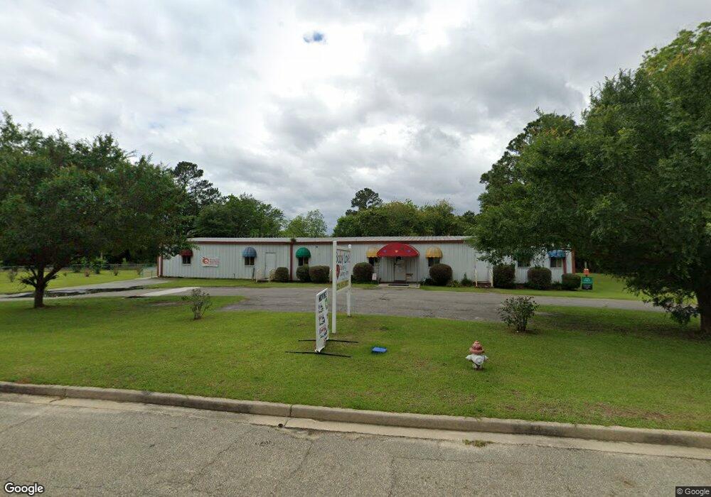
201 Perdue Rd Quitman, GA 31643
Estimated Value: $119,000 - $214,000
Studio
2
Baths
1,911
Sq Ft
$87/Sq Ft
Est. Value
About This Home
This home is located at 201 Perdue Rd, Quitman, GA 31643 and is currently estimated at $166,591, approximately $87 per square foot. 201 Perdue Rd is a home located in Brooks County with nearby schools including Quitman Elementary School and First Baptist Church Preschool & Kindergarten.
Ownership History
Date
Name
Owned For
Owner Type
Purchase Details
Closed on
Oct 22, 2014
Bought by
Affidavit Showing Facts Affecting Title
Current Estimated Value
Purchase Details
Closed on
Oct 17, 2014
Sold by
Hall Rosa Lee
Bought by
Ameris Bank
Purchase Details
Closed on
Feb 22, 2013
Sold by
Hall Wyche Rosa Lee
Bought by
Wyche Ruby
Purchase Details
Closed on
Aug 25, 1997
Sold by
Wyche Oneal and Rosa Lee
Bought by
Wyche Rosa Lee
Purchase Details
Closed on
Dec 28, 1989
Bought by
*Wyche Oneal and Rosa Lee
Create a Home Valuation Report for This Property
The Home Valuation Report is an in-depth analysis detailing your home's value as well as a comparison with similar homes in the area
Home Values in the Area
Average Home Value in this Area
Purchase History
| Date | Buyer | Sale Price | Title Company |
|---|---|---|---|
| Affidavit Showing Facts Affecting Title | -- | -- | |
| Ameris Bank | $163,565 | -- | |
| Wyche Ruby | -- | -- | |
| Wyche Rosa Lee | -- | -- | |
| *Wyche Oneal | -- | -- | |
| Wyche Oneal | -- | -- |
Source: Public Records
Tax History
| Year | Tax Paid | Tax Assessment Tax Assessment Total Assessment is a certain percentage of the fair market value that is determined by local assessors to be the total taxable value of land and additions on the property. | Land | Improvement |
|---|---|---|---|---|
| 2025 | $1,611 | $48,072 | $272 | $47,800 |
| 2024 | $1,611 | $48,072 | $272 | $47,800 |
| 2023 | $1,517 | $44,392 | $272 | $44,120 |
| 2022 | $1,369 | $35,152 | $264 | $34,888 |
| 2021 | $1,253 | $32,832 | $264 | $32,568 |
| 2020 | $912 | $32,832 | $264 | $32,568 |
| 2019 | $753 | $31,304 | $256 | $31,048 |
| 2018 | $1,002 | $34,304 | $256 | $34,048 |
| 2017 | $1,177 | $32,440 | $272 | $32,168 |
| 2016 | $1,224 | $32,920 | $272 | $32,648 |
| 2015 | -- | $32,600 | $272 | $32,328 |
| 2014 | -- | $34,224 | $840 | $33,384 |
| 2013 | -- | $34,224 | $840 | $33,384 |
Source: Public Records
Map
Nearby Homes
- 2434 Dunn Rd
- 309 Eastlake Dr
- 804 Westlake Dr
- 1001 W Bartow St
- 901 W Boundary St
- 304 W Rountree St
- 203 W Gordon St
- 606 N Court St
- Lot 14 Dawn Ln
- 417 N Court St
- 621 N Court St
- 0 W Swamp St
- 807 N Court St
- 0 E Gordon St
- 506 Oglesby St
- 103 Victorian Way
- 0 Madison Hwy Unit 25939703
- 0 Madison Hwy Unit 147194
- 714 Morris Ave
- 1306 E Screven St
Your Personal Tour Guide
Ask me questions while you tour the home.