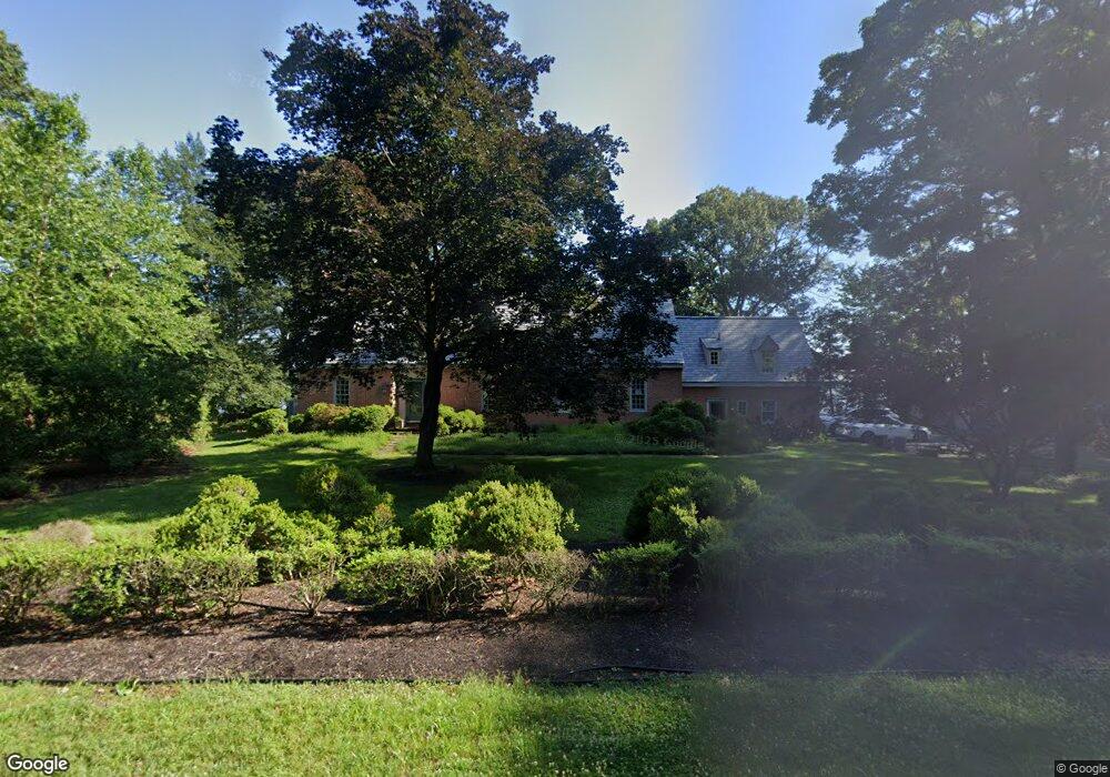
201 Rivershore Rd Chestertown, MD 21620
Kingstown NeighborhoodEstimated Value: $751,000 - $1,188,965
--
Bed
4
Baths
2,606
Sq Ft
$366/Sq Ft
Est. Value
About This Home
This home is located at 201 Rivershore Rd, Chestertown, MD 21620 and is currently estimated at $952,991, approximately $365 per square foot. 201 Rivershore Rd is a home located in Queen Anne's County with nearby schools including Church Hill Elementary School, Sudlersville Middle School, and Queen Anne's County High School.
Ownership History
Date
Name
Owned For
Owner Type
Purchase Details
Closed on
May 29, 1986
Sold by
Mccown Richard B and Mccown Joan A
Bought by
Waterson Gerald E and Waterson Barbara Y
Current Estimated Value
Home Financials for this Owner
Home Financials are based on the most recent Mortgage that was taken out on this home.
Original Mortgage
$162,000
Interest Rate
10.36%
Create a Home Valuation Report for This Property
The Home Valuation Report is an in-depth analysis detailing your home's value as well as a comparison with similar homes in the area
Home Values in the Area
Average Home Value in this Area
Purchase History
| Date | Buyer | Sale Price | Title Company |
|---|---|---|---|
| Waterson Gerald E | $215,000 | -- |
Source: Public Records
Mortgage History
| Date | Status | Borrower | Loan Amount |
|---|---|---|---|
| Closed | Waterson Gerald E | $162,000 |
Source: Public Records
Tax History Compared to Growth
Tax History
| Year | Tax Paid | Tax Assessment Tax Assessment Total Assessment is a certain percentage of the fair market value that is determined by local assessors to be the total taxable value of land and additions on the property. | Land | Improvement |
|---|---|---|---|---|
| 2025 | $7,450 | $948,400 | $512,400 | $436,000 |
| 2024 | $7,055 | $854,200 | $0 | $0 |
| 2023 | $6,683 | $760,000 | $0 | $0 |
| 2022 | $6,332 | $665,800 | $317,400 | $348,400 |
| 2021 | $6,021 | $643,667 | $0 | $0 |
| 2020 | $6,021 | $621,533 | $0 | $0 |
| 2019 | $5,809 | $599,400 | $297,100 | $302,300 |
| 2018 | $5,809 | $599,400 | $297,100 | $302,300 |
| 2017 | $5,809 | $599,400 | $0 | $0 |
| 2016 | -- | $611,800 | $0 | $0 |
| 2015 | $2,966 | $611,800 | $0 | $0 |
| 2014 | $2,966 | $611,800 | $0 | $0 |
Source: Public Records
Map
Nearby Homes
- 0 East St
- 105 High St
- 228 S Water St
- 206 S Water St
- 101 Birch Run Rd
- 206 Cannon St
- 303 E Campus Ave
- 200 Washington Ave
- 349 & 351 High St
- 349 High St
- 222 Mount Vernon Ave
- 517 High St
- 206 Valley Rd
- 234 N College Ave
- 108 Little Harbor Way
- 0 Little Harbor Way Unit 1
- 0 Little Harbor Way Unit 1 MDKE2004992
- 118 Little Harbor Way Unit 202
- 104 Little Harbor Way
- 102 Little Harbor Way
- 200 Rivershore Rd
- 200 River Rd
- 108 River Rd
- 105 Rivershore Rd
- 204 River Rd
- 204 Rivershore Rd
- 108 Rivershore Rd
- 306 Anthony Rd
- 112 River Rd
- 208 Rivershore Rd
- 309 Anthony Rd
- 112 Rivershore Rd
- 305 Pine Chip Rd
- 104 Mimosa Ln
- 301 Pine Chip Rd
- 120 Rivershore Rd
- 305 Anthony Rd
- 300 Rivershore Rd
- 105 Mimosa Ln
- 200 Pine Chip Rd