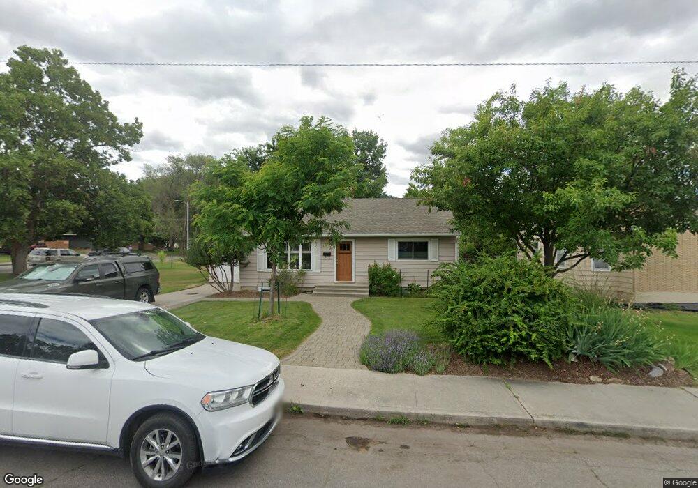
201 Sentinel St Missoula, MT 59801
Lewis and Clark NeighborhoodEstimated Value: $523,000 - $599,000
2
Beds
2
Baths
2,050
Sq Ft
$273/Sq Ft
Est. Value
About This Home
This home is located at 201 Sentinel St, Missoula, MT 59801 and is currently estimated at $560,266, approximately $273 per square foot. 201 Sentinel St is a home located in Missoula County with nearby schools including Lewis & Clark School, Washington Middle School, and Sentinel High School.
Ownership History
Date
Name
Owned For
Owner Type
Purchase Details
Closed on
Dec 14, 2004
Sold by
Fullerton Delores June
Bought by
Adkins Kirk F
Current Estimated Value
Home Financials for this Owner
Home Financials are based on the most recent Mortgage that was taken out on this home.
Original Mortgage
$148,000
Outstanding Balance
$69,240
Interest Rate
4.75%
Mortgage Type
Purchase Money Mortgage
Estimated Equity
$491,026
Create a Home Valuation Report for This Property
The Home Valuation Report is an in-depth analysis detailing your home's value as well as a comparison with similar homes in the area
Home Values in the Area
Average Home Value in this Area
Purchase History
| Date | Buyer | Sale Price | Title Company |
|---|---|---|---|
| Adkins Kirk F | -- | -- |
Source: Public Records
Mortgage History
| Date | Status | Borrower | Loan Amount |
|---|---|---|---|
| Open | Adkins Kirk F | $148,000 | |
| Closed | Adkins Kirk F | $27,750 |
Source: Public Records
Tax History Compared to Growth
Tax History
| Year | Tax Paid | Tax Assessment Tax Assessment Total Assessment is a certain percentage of the fair market value that is determined by local assessors to be the total taxable value of land and additions on the property. | Land | Improvement |
|---|---|---|---|---|
| 2025 | $4,783 | $590,600 | $338,205 | $252,395 |
| 2024 | $4,533 | $372,515 | $149,375 | $223,140 |
| 2023 | $4,421 | $372,515 | $149,375 | $223,140 |
| 2022 | $4,264 | $305,900 | $0 | $0 |
| 2021 | $3,716 | $305,900 | $0 | $0 |
| 2020 | $3,716 | $272,700 | $0 | $0 |
| 2019 | $3,706 | $272,700 | $0 | $0 |
| 2018 | $3,352 | $238,600 | $0 | $0 |
| 2017 | $3,301 | $238,600 | $0 | $0 |
| 2016 | $2,901 | $217,800 | $0 | $0 |
| 2015 | $2,698 | $217,800 | $0 | $0 |
| 2014 | $2,622 | $118,932 | $0 | $0 |
Source: Public Records
Map
Nearby Homes
- 217 Dixon Ave
- 3008 Park St
- 200 Northview Dr
- 217 Benton Ave
- 3208 Queen St
- 2711 S Higgins Ave
- 100 Pattee Canyon Dr
- 110 Hillcrest Loop
- 301 Livingston Ave
- Lot 26a South Ave W
- 116 South Ave E
- 101 E Central Ave
- 109 E Central Ave
- 500 Westview Dr
- 806 Crestmont Way Unit A
- 802 Normans Ln
- 629 North Ave W
- 612 High Park Way
- 100 Simons Dr
- 401 Woodworth Ave
- 207 Sentinel St
- 209 Sentinel St
- 208 Pattee Creek Dr
- 215 Sentinel St
- 220 Pattee Creek Dr
- 204 Sentinel St
- 202 Sentinel St
- 3102 Lester St
- 208 Sentinel St
- 3108 Lester St
- 3120 Lester St
- 224 Pattee Creek Dr
- 212 Sentinel St
- 219 Sentinel St
- 140 Sentinel St
- 216 Sentinel St
- 221 Sentinel St
- 244 Pattee Creek Dr
- 130 Pattee Creek Dr
- 137 Sentinel St