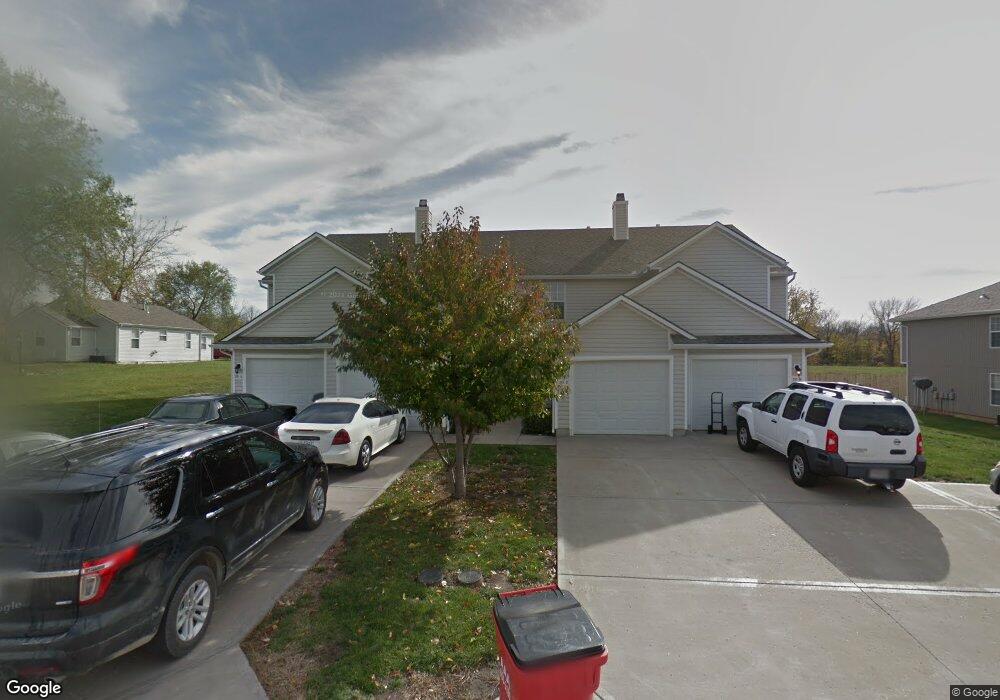
201 W Nicholas Dr Unit A Lone Jack, MO 64070
Estimated Value: $533,000
3
Beds
8
Baths
1,450
Sq Ft
$368/Sq Ft
Est. Value
About This Home
Newly renovated unit. Mowing included in rent. Easy highway access. Fifteen minutes from Lee's Summit and twenty five minutes from Whiteman AFB. Very quiet neighborhood.
Renter pays for all utilities and trash collection. Non-refundable pet fee of $250 with $20 per month per pet, maximum of two pets. Male cats must be neutered. Dogs must be 35 lbs or under. Non-smoking buildings.
Ownership History
Date
Name
Owned For
Owner Type
Purchase Details
Closed on
May 1, 2007
Sold by
Pemberton & Ragan Investment Co
Bought by
Homestead Creek Properties Llc
Current Estimated Value
Purchase Details
Closed on
Jun 15, 2006
Sold by
Shadow Investments Llc
Bought by
Pemberton & Ragan Investments Co
Create a Home Valuation Report for This Property
The Home Valuation Report is an in-depth analysis detailing your home's value as well as a comparison with similar homes in the area
Home Values in the Area
Average Home Value in this Area
Purchase History
| Date | Buyer | Sale Price | Title Company |
|---|---|---|---|
| Homestead Creek Properties Llc | -- | Stewart Title Of Kansas City | |
| Pemberton & Ragan Investments Co | -- | Stewart Title Of Kansas City |
Source: Public Records
Property History
| Date | Event | Price | List to Sale | Price per Sq Ft |
|---|---|---|---|---|
| 03/21/2025 03/21/25 | Off Market | $1,395 | -- | -- |
| 03/17/2025 03/17/25 | For Rent | $1,395 | -- | -- |
Tax History Compared to Growth
Tax History
| Year | Tax Paid | Tax Assessment Tax Assessment Total Assessment is a certain percentage of the fair market value that is determined by local assessors to be the total taxable value of land and additions on the property. | Land | Improvement |
|---|---|---|---|---|
| 2025 | $7,784 | $113,402 | $16,399 | $97,003 |
| 2024 | $8,113 | $98,610 | $4,729 | $93,881 |
| 2023 | $8,113 | $113,430 | $8,333 | $105,097 |
| 2022 | $7,666 | $93,860 | $8,019 | $85,841 |
| 2021 | $7,469 | $93,860 | $8,019 | $85,841 |
| 2020 | $7,027 | $82,246 | $8,019 | $74,227 |
| 2019 | $6,990 | $82,246 | $8,019 | $74,227 |
| 2018 | $1,657,213 | $71,581 | $6,979 | $64,602 |
| 2017 | $6,477 | $71,581 | $6,979 | $64,602 |
| 2016 | $6,351 | $69,787 | $6,726 | $63,061 |
| 2014 | $6,536 | $68,682 | $6,293 | $62,389 |
Source: Public Records
Map
Nearby Homes
- 207 Black Jack Ave
- 817 N Walnut Ln
- 807 N Walnut Ln
- 110 Woodland Ave
- 305 Oak St
- 807 N Whispering Hills Dr
- 202 Maple St
- 35001 E Stringtown Rd
- 34908 E Shores Rd
- 810 W Shawhan Pkwy
- 813 W Shawhan Pkwy
- 716 W Solomon Dr
- 814 W Solomon Dr
- 805 W Solomon Dr
- 36300 E Bynum Spur Rd
- 33604 E Stringtown Rd
- 14014 Crawford Creek Cir
- 14030 Crawford Creek Cir
- 36404 E County Line Rd
- 34505 E Drinkwater Rd
- 104 N Van Buren Rd
- 102 N Van Buren Rd
- 100 N Van Buren Rd
- 106 N Van Buren Rd
- 205 W Nicholas Dr
- 202 E Us Highway 50
- 101 N Van Buren Rd
- 103 N Van Buren Rd
- 207 W Nicholas Dr
- 207 W Nicholas Dr Unit A
- 114 W Cannon Dr
- 111 W Main St
- 114 E 50 Hwy
- 110 W Main St
- 108 W Main St
- 106 W Main St
- 111 W Lone Jack Lees Summit Rd
- 104 W Main St
- 109 W Lone Jack Lees Summit Rd
- 203 W Lone Jack Lees Summit Rd