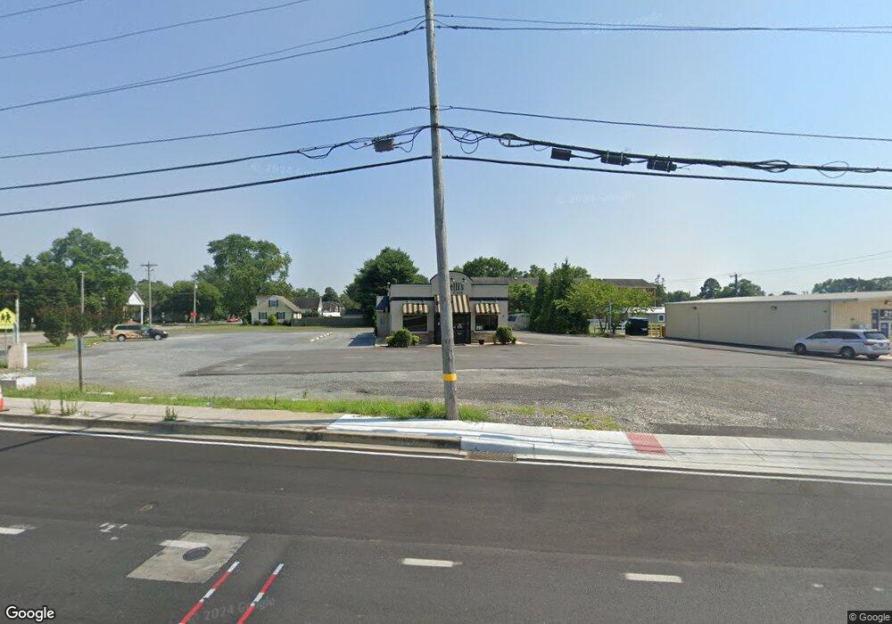
201 W Stein Hwy Seaford, DE 19973
Estimated Value: $713,880
--
Bed
--
Bath
--
Sq Ft
1.01
Acres
About This Home
This home is located at 201 W Stein Hwy, Seaford, DE 19973 and is currently estimated at $713,880. 201 W Stein Hwy is a home located in Sussex County with nearby schools including Seaford Central Elementary School, West Seaford Elementary School, and Seaford Middle School.
Ownership History
Date
Name
Owned For
Owner Type
Purchase Details
Closed on
Apr 17, 2023
Sold by
Leach David T
Bought by
Corner Llc
Current Estimated Value
Home Financials for this Owner
Home Financials are based on the most recent Mortgage that was taken out on this home.
Original Mortgage
$391,000
Outstanding Balance
$380,232
Interest Rate
6.65%
Mortgage Type
New Conventional
Estimated Equity
$333,648
Purchase Details
Closed on
Oct 25, 2021
Sold by
Leach David T and Leach Kelli
Bought by
Leach David T and Leach Kelli
Create a Home Valuation Report for This Property
The Home Valuation Report is an in-depth analysis detailing your home's value as well as a comparison with similar homes in the area
Home Values in the Area
Average Home Value in this Area
Purchase History
| Date | Buyer | Sale Price | Title Company |
|---|---|---|---|
| Corner Llc | $625,000 | None Listed On Document | |
| Leach David T | -- | None Available |
Source: Public Records
Mortgage History
| Date | Status | Borrower | Loan Amount |
|---|---|---|---|
| Open | Corner Llc | $391,000 |
Source: Public Records
Tax History Compared to Growth
Tax History
| Year | Tax Paid | Tax Assessment Tax Assessment Total Assessment is a certain percentage of the fair market value that is determined by local assessors to be the total taxable value of land and additions on the property. | Land | Improvement |
|---|---|---|---|---|
| 2025 | $1,084 | $39,150 | $25,000 | $14,150 |
| 2024 | $1,958 | $39,150 | $25,000 | $14,150 |
| 2023 | $1,957 | $39,150 | $25,000 | $14,150 |
| 2022 | $1,908 | $39,150 | $25,000 | $14,150 |
| 2021 | $1,915 | $39,150 | $25,000 | $14,150 |
| 2020 | $2,076 | $39,150 | $25,000 | $14,150 |
| 2019 | $1,818 | $39,150 | $25,000 | $14,150 |
| 2018 | $1,773 | $39,150 | $0 | $0 |
| 2017 | $1,682 | $39,150 | $0 | $0 |
| 2016 | $1,621 | $39,150 | $0 | $0 |
| 2015 | $1,618 | $39,150 | $0 | $0 |
| 2014 | $1,534 | $39,150 | $0 | $0 |
Source: Public Records
Map
Nearby Homes
- 421 N Porter St
- 732A Hurley Park Dr
- 722 Rosetree Ln
- 131 4th St
- 314 N Porter St
- 322 N Pine St
- 300 N Porter St
- 15 N Arch Street Extension
- 737 Magnolia Dr
- 412 N Phillips St
- 514 N Willey St
- 23849 Ross Station Rd
- 406 Nylon Blvd
- 416 Pennsylvania Ave
- 814 W Ivy Dr
- 323 Pennsylvania Ave
- 35 Read St
- 531 Rust St
- 38 Read St
- 533 E Poplar St
- 540 N Bradford St
- 601 N Porter St
- 529 N Porter St Unit A
- 534 N Bradford St
- 549 N Bradford St
- 184 Holly St
- 604 N Porter St
- 602 N Porter St
- 528 N Bradford St
- 606 N Porter St
- 522 N Bradford St
- 600 N Porter St
- 0 N Porter St Lot 47 00 and 47 02 Unit DESU2059186
- 0 N Porter St Lot 47 0 and 47 02 Unit DESU2049562
- 518 N Bradford St
- 521 N Bradford St
- 521 N Bradford St
- 701 N Porter St
- 517 N Bradford St
- 512 N Bradford St