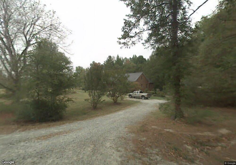
2010 Benedict Rd Greensboro, NC 27406
Groometown NeighborhoodEstimated Value: $310,000 - $384,000
3
Beds
2
Baths
1,899
Sq Ft
$185/Sq Ft
Est. Value
About This Home
This home is located at 2010 Benedict Rd, Greensboro, NC 27406 and is currently estimated at $350,401, approximately $184 per square foot. 2010 Benedict Rd is a home located in Guilford County with nearby schools including Sumner Elementary School, Southern Guilford Middle, and Southern Guilford High School.
Ownership History
Date
Name
Owned For
Owner Type
Purchase Details
Closed on
Feb 6, 2003
Sold by
Brown Michael C and Brown Janice O
Bought by
Foster Nell C
Current Estimated Value
Home Financials for this Owner
Home Financials are based on the most recent Mortgage that was taken out on this home.
Original Mortgage
$104,000
Outstanding Balance
$44,313
Interest Rate
5.88%
Mortgage Type
Purchase Money Mortgage
Estimated Equity
$306,088
Purchase Details
Closed on
May 28, 2002
Sold by
Brown Michael C and Brown Janice O
Bought by
Foster Nell C
Home Financials for this Owner
Home Financials are based on the most recent Mortgage that was taken out on this home.
Original Mortgage
$104,000
Interest Rate
6.92%
Mortgage Type
Purchase Money Mortgage
Purchase Details
Closed on
May 27, 1994
Bought by
Morgan Robert Barry
Create a Home Valuation Report for This Property
The Home Valuation Report is an in-depth analysis detailing your home's value as well as a comparison with similar homes in the area
Home Values in the Area
Average Home Value in this Area
Purchase History
| Date | Buyer | Sale Price | Title Company |
|---|---|---|---|
| Foster Nell C | -- | -- | |
| Foster Nell C | $104,500 | -- | |
| Morgan Robert Barry | -- | -- |
Source: Public Records
Mortgage History
| Date | Status | Borrower | Loan Amount |
|---|---|---|---|
| Open | Foster Nell C | $104,000 | |
| Previous Owner | Foster Nell C | $104,000 |
Source: Public Records
Tax History Compared to Growth
Tax History
| Year | Tax Paid | Tax Assessment Tax Assessment Total Assessment is a certain percentage of the fair market value that is determined by local assessors to be the total taxable value of land and additions on the property. | Land | Improvement |
|---|---|---|---|---|
| 2025 | $2,452 | $255,500 | $40,000 | $215,500 |
| 2024 | $2,452 | $255,500 | $40,000 | $215,500 |
| 2023 | $2,452 | $255,500 | $40,000 | $215,500 |
| 2022 | $2,231 | $255,500 | $40,000 | $215,500 |
| 2021 | $1,782 | $204,900 | $25,400 | $179,500 |
| 2020 | $1,783 | $204,900 | $25,400 | $179,500 |
| 2019 | $1,748 | $204,900 | $0 | $0 |
| 2018 | $1,748 | $204,900 | $0 | $0 |
| 2017 | $1,748 | $204,900 | $0 | $0 |
Source: Public Records
Map
Nearby Homes
- 5405 Fieldswood Dr
- 5325 Audrey Rd
- 5612 Newman Davis Rd
- 5810 Tysinger Dr
- 5808 Newman Davis Rd
- 5805 Bartlett Dr
- 4908 Peppercorn Ln
- 1116 Kentmere Rd
- 2058 Bishop Rd
- 4210 Randleman Rd
- 130 W Steeple Chase Rd
- 5519 Bridgeway Dr
- 528 Foxridge Rd
- 4616 S Holden Rd
- 4634 S Holden Rd
- 4404 Tyndale Ct
- Dayton Plan at Avondale
- Vermont Plan at Avondale
- Fairfield Plan at Avondale
- Irvine Plan at Avondale
- 2015 Benedict Rd
- 2012 Benedict Rd
- 5301 Elmcrest Dr
- 2016 Benedict Rd
- 2019 Benedict Rd
- 5307 Old Randleman Rd
- 2013 Benedict Rd
- 5215 Old Randleman Rd
- 5201 Old Randleman Rd
- 5300 Old Randleman Rd
- 5325 Old Randleman Rd
- 5312 Old Randleman Rd
- 5129 Old Randleman Rd
- 5320 Old Randleman Rd
- 2100 Ada Rd
- 5403 Fieldswood Dr
- 2102 Ada Rd
- 5125 Old Randleman Rd
- 2101 Ada Rd Unit 2103
- 5304 Fieldswood Dr