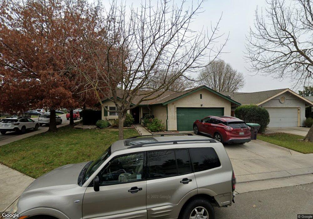
2010 Driver Ct Stockton, CA 95206
Seaport NeighborhoodEstimated Value: $182,000 - $411,000
3
Beds
2
Baths
1,128
Sq Ft
$303/Sq Ft
Est. Value
About This Home
This home is located at 2010 Driver Ct, Stockton, CA 95206 and is currently estimated at $342,185, approximately $303 per square foot. 2010 Driver Ct is a home located in San Joaquin County with nearby schools including San Joaquin Elementary School, John Marshall Elementary School, and Taylor Leadership Academy.
Ownership History
Date
Name
Owned For
Owner Type
Purchase Details
Closed on
Oct 8, 1996
Sold by
Bright Development
Bought by
Jones James H and Jones Katherine
Current Estimated Value
Home Financials for this Owner
Home Financials are based on the most recent Mortgage that was taken out on this home.
Original Mortgage
$94,324
Outstanding Balance
$8,876
Interest Rate
8.37%
Mortgage Type
VA
Estimated Equity
$333,309
Create a Home Valuation Report for This Property
The Home Valuation Report is an in-depth analysis detailing your home's value as well as a comparison with similar homes in the area
Home Values in the Area
Average Home Value in this Area
Purchase History
| Date | Buyer | Sale Price | Title Company |
|---|---|---|---|
| Jones James H | $93,000 | North American Title |
Source: Public Records
Mortgage History
| Date | Status | Borrower | Loan Amount |
|---|---|---|---|
| Open | Jones James H | $94,324 |
Source: Public Records
Tax History Compared to Growth
Tax History
| Year | Tax Paid | Tax Assessment Tax Assessment Total Assessment is a certain percentage of the fair market value that is determined by local assessors to be the total taxable value of land and additions on the property. | Land | Improvement |
|---|---|---|---|---|
| 2025 | $2,077 | $159,332 | $40,711 | $118,621 |
| 2024 | $2,042 | $156,209 | $39,913 | $116,296 |
| 2023 | $1,994 | $153,147 | $39,131 | $114,016 |
| 2022 | $1,837 | $150,145 | $38,364 | $111,781 |
| 2021 | $1,770 | $147,202 | $37,612 | $109,590 |
| 2020 | $1,802 | $145,694 | $37,227 | $108,467 |
| 2019 | $1,793 | $142,839 | $36,498 | $106,341 |
| 2018 | $2,196 | $140,039 | $35,783 | $104,256 |
| 2017 | $2,010 | $137,294 | $35,082 | $102,212 |
| 2016 | $2,018 | $134,602 | $34,394 | $100,208 |
| 2014 | $1,920 | $129,984 | $33,214 | $96,770 |
Source: Public Records
Map
Nearby Homes
- 2050 Grey Stone Dr
- 1823 Fort Hall Place
- 2128 Green River Ln
- 2650 S Fresno Ave
- 1409 Laguna Cir
- 1413 Laguna Cir
- 2215 Dune Place
- 1156 Derrick Dr
- 2428 Shell Ct
- 2402 Sailboat Ct
- 309 S Los Angeles Ave
- 1661 W Hazelton Ave
- 2625 Crestmore Cir
- 348 S Los Angeles Ave
- 1765 W Sonora St
- 3745 Wild Rose Ln
- 2079 Gordon Verner Cir
- 2242 Port Trinity Cir
- 864 W 5th St
- 4014 Knollwood Ct
- 2028 Driver Ct
- 2728 Volpi Dr
- 2044 Driver Ct
- 2739 Volpi Dr
- 2747 Volpi Dr
- 2731 Volpi Dr
- 2011 Driver Ct
- 2005 Old River Ct
- 2029 Driver Ct
- 2817 Volpi Dr
- 2019 Old River Ct
- 2723 Volpi Dr
- 2062 Driver Ct
- 2033 Old River Ct
- 2829 Volpi Dr
- 2715 Volpi Dr
- 2045 Driver Ct
- 2047 Old River Ct
- 2850 Volpi Dr
- 2841 Volpi Dr