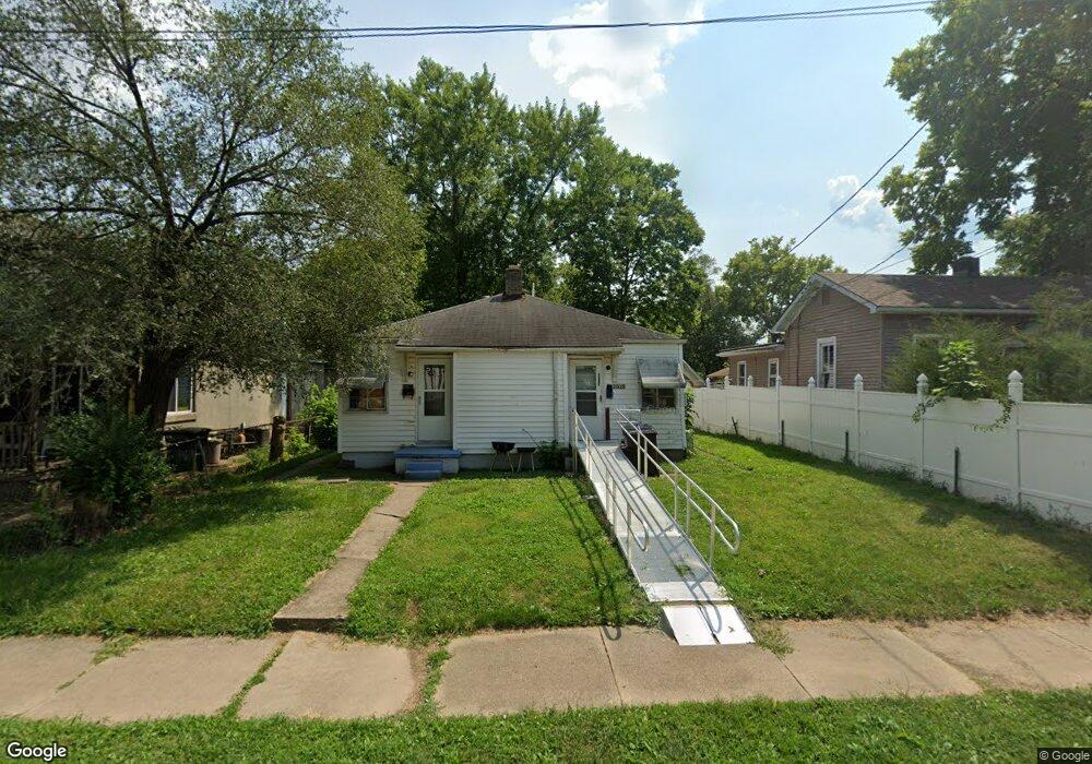
2010 Howard Ave Middletown, OH 45044
Sherman NeighborhoodEstimated Value: $77,000 - $163,000
3
Beds
2
Baths
1,044
Sq Ft
$110/Sq Ft
Est. Value
About This Home
This home is located at 2010 Howard Ave, Middletown, OH 45044 and is currently estimated at $114,999, approximately $110 per square foot. 2010 Howard Ave is a home located in Butler County with nearby schools including Amanda Elementary School, Highview 6th Grade Center, and Middletown Middle School.
Ownership History
Date
Name
Owned For
Owner Type
Purchase Details
Closed on
Apr 29, 2022
Sold by
Karma Investment Properties Llc
Bought by
Alexander Middletown Llc
Current Estimated Value
Purchase Details
Closed on
May 21, 2010
Sold by
Tracy Dan W and Tracy Ruthann
Bought by
Merg Properties Llc
Purchase Details
Closed on
Nov 1, 1988
Create a Home Valuation Report for This Property
The Home Valuation Report is an in-depth analysis detailing your home's value as well as a comparison with similar homes in the area
Home Values in the Area
Average Home Value in this Area
Purchase History
| Date | Buyer | Sale Price | Title Company |
|---|---|---|---|
| Alexander Middletown Llc | $934,955 | Cesta Joseph A | |
| Merg Properties Llc | -- | None Available | |
| -- | $26,000 | -- |
Source: Public Records
Tax History Compared to Growth
Tax History
| Year | Tax Paid | Tax Assessment Tax Assessment Total Assessment is a certain percentage of the fair market value that is determined by local assessors to be the total taxable value of land and additions on the property. | Land | Improvement |
|---|---|---|---|---|
| 2024 | $1,296 | $14,920 | $2,350 | $12,570 |
| 2023 | $1,406 | $14,130 | $2,350 | $11,780 |
| 2022 | $698 | $11,710 | $2,350 | $9,360 |
| 2021 | $672 | $11,710 | $2,350 | $9,360 |
| 2020 | $700 | $11,710 | $2,350 | $9,360 |
| 2019 | $550 | $7,590 | $2,350 | $5,240 |
| 2018 | $492 | $7,590 | $2,350 | $5,240 |
| 2017 | $492 | $7,590 | $2,350 | $5,240 |
| 2016 | $453 | $6,680 | $2,350 | $4,330 |
| 2015 | $446 | $6,680 | $2,350 | $4,330 |
| 2014 | $559 | $6,680 | $2,350 | $4,330 |
| 2013 | $559 | $9,100 | $1,780 | $7,320 |
Source: Public Records
Map
Nearby Homes
- 319 Moore St
- 1814.5 Logan Ave
- 408 Moore St
- 410 Moore St
- 2016 Linden Ave
- 2208 Superior Ave
- 401 S Sutphin St
- 2124 Sherman Ave
- 407 S Sutphin St
- 2007 Central Ave
- 2112 Central Ave
- 1814 Logan Ave
- 2113 Central Ave
- 2115 Central Ave
- 2119 Central Ave
- 113 N Sutphin St
- 2420 Superior Ave
- 19 Mckinley St
- 2109 Queen Ave
- 2100 Queen Ave