2010 Manchester Rd Glastonbury, CT 06033
Minnechaug NeighborhoodEstimated Value: $836,000 - $1,513,326
2
Beds
4
Baths
4,002
Sq Ft
$284/Sq Ft
Est. Value
About This Home
This home is located at 2010 Manchester Rd, Glastonbury, CT 06033 and is currently estimated at $1,135,832, approximately $283 per square foot. 2010 Manchester Rd is a home with nearby schools including Hebron Avenue School, Gideon Welles School, and Smith Middle School.
Ownership History
Date
Name
Owned For
Owner Type
Purchase Details
Closed on
Feb 18, 2015
Sold by
Ntm&M Llc
Bought by
Modugno Giuseppe and Modugno Maria C
Current Estimated Value
Purchase Details
Closed on
Jul 25, 2013
Sold by
Ntm&M Llc
Bought by
Modugno Giuseppe and Modugno Maria C
Home Financials for this Owner
Home Financials are based on the most recent Mortgage that was taken out on this home.
Original Mortgage
$600,000
Interest Rate
3.97%
Purchase Details
Closed on
Mar 13, 2012
Sold by
Ansaldi Andrew
Bought by
Ntm&M Llc
Home Financials for this Owner
Home Financials are based on the most recent Mortgage that was taken out on this home.
Original Mortgage
$65,000
Interest Rate
3.99%
Create a Home Valuation Report for This Property
The Home Valuation Report is an in-depth analysis detailing your home's value as well as a comparison with similar homes in the area
Home Values in the Area
Average Home Value in this Area
Purchase History
| Date | Buyer | Sale Price | Title Company |
|---|---|---|---|
| Modugno Giuseppe | -- | -- | |
| Modugno Giuseppe | -- | -- | |
| Ntm&M Llc | $315,000 | -- |
Source: Public Records
Mortgage History
| Date | Status | Borrower | Loan Amount |
|---|---|---|---|
| Previous Owner | Ntm&M Llc | $600,000 | |
| Previous Owner | Ntm&M Llc | $65,000 |
Source: Public Records
Tax History Compared to Growth
Tax History
| Year | Tax Paid | Tax Assessment Tax Assessment Total Assessment is a certain percentage of the fair market value that is determined by local assessors to be the total taxable value of land and additions on the property. | Land | Improvement |
|---|---|---|---|---|
| 2025 | $31,678 | $964,900 | $216,300 | $748,600 |
| 2024 | $30,809 | $964,900 | $216,300 | $748,600 |
| 2023 | $29,922 | $964,900 | $216,300 | $748,600 |
| 2022 | $29,146 | $781,400 | $185,600 | $595,800 |
| 2021 | $29,024 | $777,700 | $185,600 | $592,100 |
| 2020 | $28,697 | $777,700 | $185,600 | $592,100 |
| 2019 | $28,277 | $777,700 | $185,600 | $592,100 |
| 2018 | $27,997 | $777,700 | $185,600 | $592,100 |
| 2017 | $26,095 | $696,800 | $189,000 | $507,800 |
| 2016 | $30,489 | $837,600 | $230,800 | $606,800 |
| 2015 | $30,237 | $837,600 | $230,800 | $606,800 |
| 2014 | $5,893 | $165,300 | $165,300 | $0 |
Source: Public Records
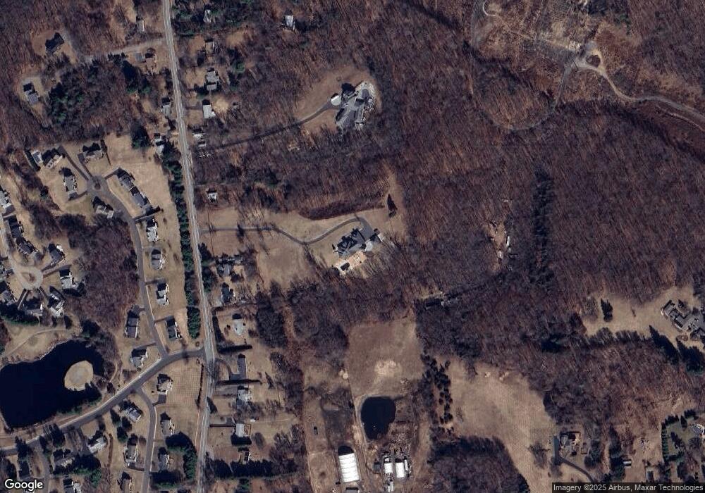
Map
Nearby Homes
- 2085 Manchester Rd
- 1925 Manchester Rd
- 6 Line St
- 60 Saddle Ridge Rd
- 580 S Main St
- 45 Line St
- 76 Masters Way
- 282 Mountain Rd
- 0 0 Line #3 St Unit 24008112
- 112 Jacqueline Dr
- 366 Woodhaven Rd
- 394 Woodhaven Rd
- 56 W Gerald Dr
- 311 S Main St
- 47 Brookview Dr
- 509 Cedar Ridge Dr
- 300 Gardner St
- 290 Gardner St
- 202 S Main St
- 18 Holyoke Dr
- 2026 Manchester Rd
- 2000 Manchester Rd
- 1996 Manchester Rd
- 49 Manchester Rd
- 2040 Manchester Rd
- 1992 Manchester Rd
- 2064 Manchester Rd
- 2044 Manchester Rd
- 1986 Manchester Rd
- 36 Sea Island
- 46 Sea Island
- 24 Sea Island
- 52 Sea Island
- 8 Sea Island
- 2074 Manchester Rd
- 1980 Manchester Rd
- 2057 Manchester Rd
- 60 Sea Island
- 2045 Manchester Rd
- 2084 Manchester Rd