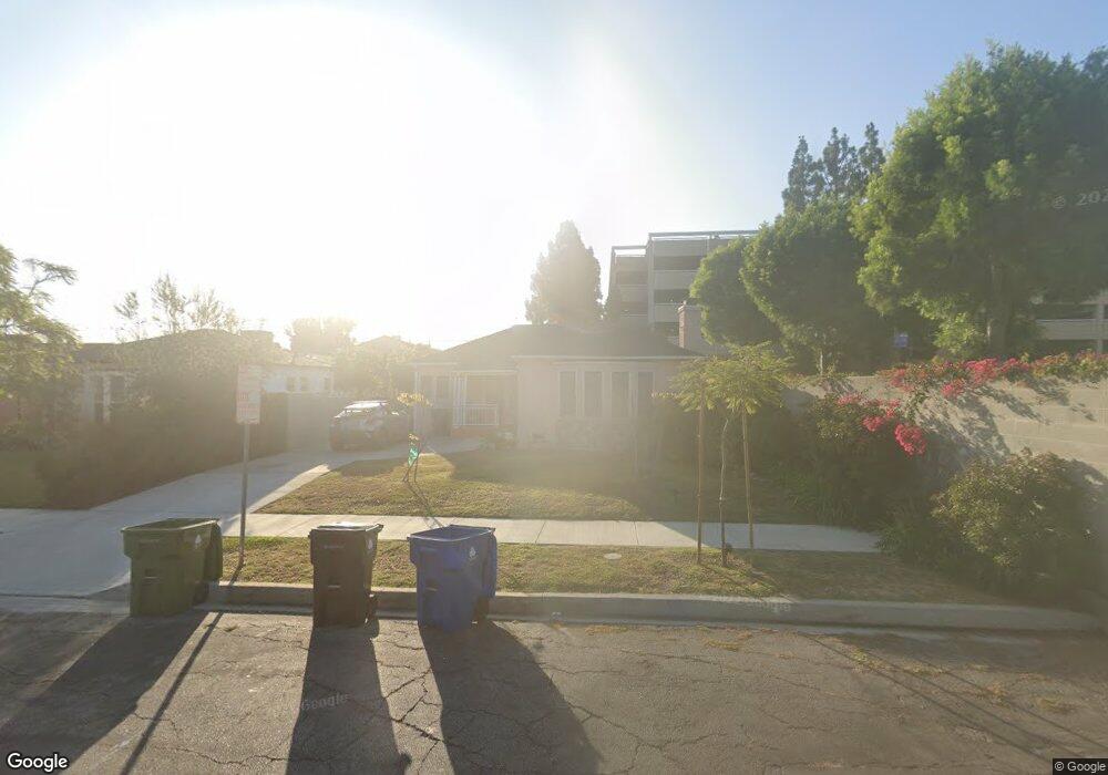
2010 S Point View St Los Angeles, CA 90034
Mid-City NeighborhoodEstimated Value: $1,326,960 - $1,887,000
2
Beds
2
Baths
1,303
Sq Ft
$1,152/Sq Ft
Est. Value
About This Home
This home is located at 2010 S Point View St, Los Angeles, CA 90034 and is currently estimated at $1,501,240, approximately $1,152 per square foot. 2010 S Point View St is a home located in Los Angeles County with nearby schools including Crescent Heights Boulevard Elementary School, Daniel Webster Middle School, and Alexander Hamilton Senior High School.
Ownership History
Date
Name
Owned For
Owner Type
Purchase Details
Closed on
May 5, 2021
Sold by
Morris Patricia
Bought by
Patricia H Morris Family Trust and Morris
Current Estimated Value
Purchase Details
Closed on
Aug 27, 1993
Sold by
Krause Neil A
Bought by
Morris Patricia
Home Financials for this Owner
Home Financials are based on the most recent Mortgage that was taken out on this home.
Original Mortgage
$157,500
Interest Rate
6.94%
Create a Home Valuation Report for This Property
The Home Valuation Report is an in-depth analysis detailing your home's value as well as a comparison with similar homes in the area
Home Values in the Area
Average Home Value in this Area
Purchase History
| Date | Buyer | Sale Price | Title Company |
|---|---|---|---|
| Patricia H Morris Family Trust | -- | None Listed On Document | |
| Morris Patricia | $175,000 | Provident Title Company |
Source: Public Records
Mortgage History
| Date | Status | Borrower | Loan Amount |
|---|---|---|---|
| Previous Owner | Morris Patricia | $157,500 |
Source: Public Records
Tax History Compared to Growth
Tax History
| Year | Tax Paid | Tax Assessment Tax Assessment Total Assessment is a certain percentage of the fair market value that is determined by local assessors to be the total taxable value of land and additions on the property. | Land | Improvement |
|---|---|---|---|---|
| 2025 | $3,825 | $297,415 | $221,626 | $75,789 |
| 2024 | $3,825 | $291,584 | $217,281 | $74,303 |
| 2023 | $3,759 | $285,868 | $213,021 | $72,847 |
| 2022 | $3,597 | $280,264 | $208,845 | $71,419 |
| 2021 | $3,546 | $274,769 | $204,750 | $70,019 |
| 2020 | $3,579 | $271,953 | $202,651 | $69,302 |
| 2019 | $3,446 | $266,622 | $198,678 | $67,944 |
| 2018 | $3,345 | $261,395 | $194,783 | $66,612 |
| 2016 | $3,194 | $251,246 | $187,220 | $64,026 |
| 2015 | $3,149 | $247,473 | $184,408 | $63,065 |
| 2014 | $3,170 | $242,626 | $180,796 | $61,830 |
Source: Public Records
Map
Nearby Homes
- 1975 S Crescent Heights Blvd
- 1901 S Point View St
- 1960 Chariton St
- 1944 Chariton St
- 1849 S Fairfax Ave
- 6061 Comey Ave
- 6082 W 18th St
- 5847 1/2 Ernest Ave
- 0 Alley Off La Cienega Blvd Unit 25544139
- 5832 David Ave Unit 1
- 5832 David Ave Unit 3
- 5832 David Ave
- 5832 David Ave Unit 2
- 2218 S Genesee Ave
- 6018 Comey Ave
- 5820 David Ave
- 2055 S Corning St
- 1952 S Holt Ave
- 2614 S Garth Ave
- 5740 S Glennie Ln Unit C
- 2006 S Point View St
- 2000 S Point View St
- 5988 Guthrie Ave Unit 5988 1-2
- 5988 Guthrie Ave Unit 5990
- 5988 Guthrie Ave
- 5990 Guthrie Ave
- 5990 Guthrie Ave Unit 1
- 5984 Guthrie Ave
- 2011 S Point View St
- 2007 S Point View St
- 2001 S Point View St
- 5980 Guthrie Ave
- 1974 S Point View St
- 5976 Guthrie Ave
- 1968 S Point View St
- 5989 Guthrie Ave Unit 3
- 5989 Guthrie Ave
- 1973 S Point View St
- 2010 Stearns Dr
- 2006 Stearns Dr