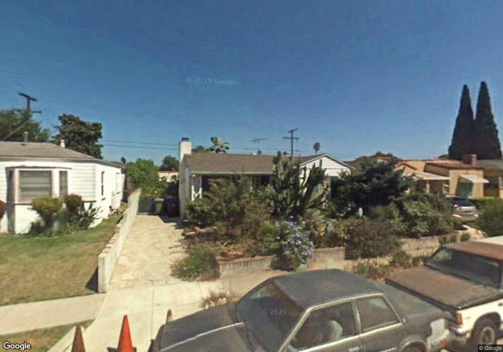
2010 S Spaulding Ave Los Angeles, CA 90016
Mid-City NeighborhoodEstimated Value: $889,000 - $1,229,246
3
Beds
1
Bath
1,157
Sq Ft
$900/Sq Ft
Est. Value
About This Home
This home is located at 2010 S Spaulding Ave, Los Angeles, CA 90016 and is currently estimated at $1,041,062, approximately $899 per square foot. 2010 S Spaulding Ave is a home located in Los Angeles County with nearby schools including Crescent Heights Boulevard Elementary School, Daniel Webster Middle School, and Alexander Hamilton Senior High School.
Ownership History
Date
Name
Owned For
Owner Type
Purchase Details
Closed on
Dec 16, 2022
Sold by
Declar Stephanie Faulkner 2006 Revocable
Bought by
Phoebe Ann Faulkner Living Trust
Current Estimated Value
Purchase Details
Closed on
Oct 30, 2006
Sold by
Faulkner Stephanie
Bought by
Faulkner Stephanie and Stephanie Faulkner 2006 Revocable Declar
Purchase Details
Closed on
Dec 6, 2001
Sold by
Faulkner Stephanie and Faulkner Phoebe
Bought by
Faulkner Stephanie
Create a Home Valuation Report for This Property
The Home Valuation Report is an in-depth analysis detailing your home's value as well as a comparison with similar homes in the area
Home Values in the Area
Average Home Value in this Area
Purchase History
| Date | Buyer | Sale Price | Title Company |
|---|---|---|---|
| Phoebe Ann Faulkner Living Trust | -- | -- | |
| Faulkner Stephanie | -- | None Available | |
| Faulkner Stephanie | -- | -- |
Source: Public Records
Tax History Compared to Growth
Tax History
| Year | Tax Paid | Tax Assessment Tax Assessment Total Assessment is a certain percentage of the fair market value that is determined by local assessors to be the total taxable value of land and additions on the property. | Land | Improvement |
|---|---|---|---|---|
| 2025 | $11,370 | $952,429 | $809,658 | $142,771 |
| 2024 | $11,370 | $933,755 | $793,783 | $139,972 |
| 2023 | $713 | $45,177 | $21,408 | $23,769 |
| 2022 | $690 | $44,292 | $20,989 | $23,303 |
| 2021 | $671 | $43,425 | $20,578 | $22,847 |
| 2019 | $654 | $42,138 | $19,968 | $22,170 |
| 2018 | $601 | $41,313 | $19,577 | $21,736 |
| 2016 | $563 | $39,711 | $18,818 | $20,893 |
| 2015 | $556 | $39,116 | $18,536 | $20,580 |
| 2014 | $568 | $38,350 | $18,173 | $20,177 |
Source: Public Records
Map
Nearby Homes
- 1944 S Spaulding Ave
- 5563 Bangor St
- 2202 Thurman Ave
- 1849 Clyde Ave
- 2012 S Curson Ave
- 2218 S Genesee Ave
- 1833 S Marvin Ave
- 1772 S Ogden Dr
- 1768 S Ogden Dr
- 1847 S Curson Ave
- 1741 S Spaulding Ave
- 1849 S Fairfax Ave
- 5740 S Glennie Ln Unit C
- 1821 S Curson Ave
- 1747 S Marvin Ave
- 1741 S Marvin Ave
- 2305 S Marvin Ave
- 1915 Covington Ln
- 1856 Hi Point St
- 1724 S Fairfax Ave
- 2006 S Spaulding Ave
- 2016 S Spaulding Ave
- 2020 S Spaulding Ave
- 2000 S Spaulding Ave
- 1951 Thurman Ave
- 1945 Thurman Ave
- 1955 Thurman Ave
- 1957 Thurman Ave
- 1941 Thurman Ave
- 2024 S Spaulding Ave
- 1948 S Spaulding Ave
- 2009 S Spaulding Ave
- 2011 S Spaulding Ave
- 1965 Thurman Ave
- 2005 S Spaulding Ave
- 2015 S Spaulding Ave
- 1937 Thurman Ave
- 2001 S Spaulding Ave
- 2030 S Spaulding Ave
- 2021 S Spaulding Ave