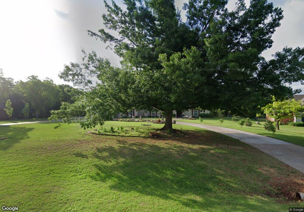
2010 Silver Crest Dr Edmond, OK 73025
Waterloo NeighborhoodEstimated Value: $651,000 - $691,000
4
Beds
3
Baths
3,359
Sq Ft
$201/Sq Ft
Est. Value
About This Home
This home is located at 2010 Silver Crest Dr, Edmond, OK 73025 and is currently estimated at $674,648, approximately $200 per square foot. 2010 Silver Crest Dr is a home located in Logan County with nearby schools including Cross Timbers Elementary School, Sequoyah Middle School, and North High School.
Ownership History
Date
Name
Owned For
Owner Type
Purchase Details
Closed on
Apr 9, 2021
Sold by
Koenig Wilhelm Joseph and Potts Koenig Heather
Bought by
Koenig Wilhelm Joseph and Potts Koenig Michelle
Current Estimated Value
Home Financials for this Owner
Home Financials are based on the most recent Mortgage that was taken out on this home.
Original Mortgage
$448,000
Outstanding Balance
$371,105
Interest Rate
3.05%
Mortgage Type
New Conventional
Estimated Equity
$303,543
Purchase Details
Closed on
Apr 27, 2007
Sold by
Tabor Teresa A
Bought by
Sigle Gary L and Sigle Carolyn A
Home Financials for this Owner
Home Financials are based on the most recent Mortgage that was taken out on this home.
Original Mortgage
$337,250
Interest Rate
6.13%
Mortgage Type
New Conventional
Create a Home Valuation Report for This Property
The Home Valuation Report is an in-depth analysis detailing your home's value as well as a comparison with similar homes in the area
Home Values in the Area
Average Home Value in this Area
Purchase History
| Date | Buyer | Sale Price | Title Company |
|---|---|---|---|
| Koenig Wilhelm Joseph | -- | Chicago Title Oklahoma | |
| Koenig Wilhelm Joseph | $560,000 | Chicago Title Oklahoma Co | |
| Sigle Gary L | $355,000 | Stewart Abstract &Title Of O |
Source: Public Records
Mortgage History
| Date | Status | Borrower | Loan Amount |
|---|---|---|---|
| Open | Koenig Wilhelm Joseph | $448,000 | |
| Previous Owner | Sigle Gary L | $337,250 |
Source: Public Records
Tax History Compared to Growth
Tax History
| Year | Tax Paid | Tax Assessment Tax Assessment Total Assessment is a certain percentage of the fair market value that is determined by local assessors to be the total taxable value of land and additions on the property. | Land | Improvement |
|---|---|---|---|---|
| 2025 | $6,166 | $60,299 | $8,417 | $51,882 |
| 2024 | $6,166 | $58,543 | $8,417 | $50,126 |
| 2023 | $6,166 | $56,837 | $8,417 | $48,420 |
| 2022 | $5,635 | $55,182 | $8,417 | $46,765 |
| 2021 | $3,935 | $38,952 | $8,417 | $30,535 |
| 2020 | $4,117 | $40,396 | $8,417 | $31,979 |
| 2019 | $4,019 | $39,318 | $7,887 | $31,431 |
| 2018 | $4,038 | $39,318 | $7,887 | $31,431 |
| 2017 | $4,118 | $40,125 | $7,887 | $32,238 |
| 2016 | $4,055 | $39,810 | $7,887 | $31,923 |
| 2014 | $4,073 | $40,084 | $6,269 | $33,815 |
| 2013 | $4,441 | $43,728 | $6,839 | $36,889 |
Source: Public Records
Map
Nearby Homes
- 2500 Blue Spruce Rd
- 6160 Lincoln Rd
- 7409 Mid Iron Ln
- 2717 Charleston Rd
- 8039 Lindsay Ln
- 7933 Lindsay Ln
- 1308 Chipper Ln
- 7405 Niblick Way
- 1200 Chipper Ln
- 2520 Silverfield Ln
- 9071 Oak Tree Cir
- 6201 Canopy Ln
- 6108 Oak Tree Rd
- 2009 Colonial Way
- 3720 Deer Crossing
- 2017 Colonial Way
- 6209 Turnberry Ln
- 5901 Calcutta Ln
- 8561 Oak Tree Cir
- 2109 Wiregrass Dr
- 2014 Silver Crest Dr
- 2004 Silver Crest Dr
- 2018 Silver Crest Dr
- 2011 Silver Crest Dr
- 2000 Silver Crest Dr
- 2000 Cascade Dr
- 2020 Silver Crest Dr
- 2021 Silver Crest Dr
- 2001 Silver Crest Dr
- 1921 Cascade Dr
- 2001 Shadow Lake Dr
- 2009 Shadow Lake Dr
- 1920 Cascade Dr
- 1910 Silver Crest Dr
- 2101 Silver Crest Dr
- 1917 Shadow Lake Dr
- 1909 Cascade Dr
- 1917 Silver Crest Dr
- 2102 Silver Crest Dr
- 2101 Shadow Lake Dr