20100 King Rd Red Bluff, CA 96080
Estimated Value: $363,000 - $447,000
3
Beds
2
Baths
1,500
Sq Ft
$269/Sq Ft
Est. Value
About This Home
This home is located at 20100 King Rd, Red Bluff, CA 96080 and is currently estimated at $402,775, approximately $268 per square foot. 20100 King Rd is a home located in Tehama County with nearby schools including William M. Metteer Elementary School, Vista Preparatory Academy, and Red Bluff High School.
Ownership History
Date
Name
Owned For
Owner Type
Purchase Details
Closed on
Oct 21, 2025
Sold by
Ault Family Trust and Ault Raymond Lee
Bought by
Jamerson Richard and Jamerson Amanda
Current Estimated Value
Home Financials for this Owner
Home Financials are based on the most recent Mortgage that was taken out on this home.
Original Mortgage
$12,000
Outstanding Balance
$12,000
Interest Rate
6.35%
Mortgage Type
New Conventional
Estimated Equity
$390,775
Purchase Details
Closed on
Sep 6, 2013
Sold by
Ault Raymond L and Ault Susan R
Bought by
Ault Raymond Lee and Ault Susan Rae
Purchase Details
Closed on
Sep 17, 2001
Sold by
Ault Susan
Bought by
Ault Raymond L and Ault Susan R
Home Financials for this Owner
Home Financials are based on the most recent Mortgage that was taken out on this home.
Original Mortgage
$50,000
Interest Rate
6.99%
Create a Home Valuation Report for This Property
The Home Valuation Report is an in-depth analysis detailing your home's value as well as a comparison with similar homes in the area
Purchase History
| Date | Buyer | Sale Price | Title Company |
|---|---|---|---|
| Jamerson Richard | $400,000 | Placer Title Company | |
| Ault Raymond Lee | -- | None Available | |
| Ault Raymond L | -- | Alliance Title Company |
Source: Public Records
Mortgage History
| Date | Status | Borrower | Loan Amount |
|---|---|---|---|
| Open | Jamerson Richard | $12,000 | |
| Open | Jamerson Richard | $388,000 | |
| Previous Owner | Ault Raymond L | $50,000 |
Source: Public Records
Tax History
| Year | Tax Paid | Tax Assessment Tax Assessment Total Assessment is a certain percentage of the fair market value that is determined by local assessors to be the total taxable value of land and additions on the property. | Land | Improvement |
|---|---|---|---|---|
| 2025 | $1,680 | $165,122 | $25,612 | $139,510 |
| 2023 | $1,652 | $158,712 | $24,618 | $134,094 |
| 2022 | $1,641 | $155,601 | $24,136 | $131,465 |
| 2021 | $1,575 | $152,551 | $23,663 | $128,888 |
| 2020 | $1,608 | $150,988 | $23,421 | $127,567 |
| 2019 | $1,618 | $148,028 | $22,962 | $125,066 |
| 2018 | $1,497 | $145,126 | $22,512 | $122,614 |
| 2017 | $1,448 | $136,448 | $20,528 | $115,920 |
| 2016 | $1,314 | $129,950 | $19,550 | $110,400 |
| 2015 | $1,314 | $129,950 | $19,550 | $110,400 |
| 2014 | $1,149 | $113,000 | $17,000 | $96,000 |
Source: Public Records
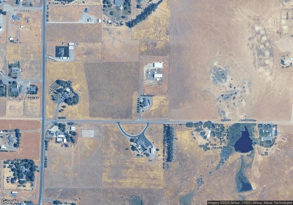
Map
Nearby Homes
- 20050 Plains Dr
- 20225 Stewart Rd
- 20285 Stewart Rd
- 0 Stewart Rd Unit 20250381
- 0 Stewart Rd Unit 20250380
- 12072 Alta Vista Ct
- 19542 Ridge Rd
- 19235 Ridge Rd
- 12890 Ivy Ln
- 12915 Gardenia Ave
- 19365 MacHo Rd
- 340 Christina Dr
- 329 Michael Dr
- 2030 Pebblestone Dr
- 0 Shawn Ln
- 550 Bayles Ave
- 1235 Britt Ln
- 1560 Carl Ct
- 1455 Acacia St
- 1645 Aloha St
- 20095 King Rd
- 20145 King Rd
- 20030 King Rd
- 20025 King Rd
- 19971 Red Bank Rd
- 19983 Red Bank Rd
- 20045 Verner Ct
- 20035 Verner Ct
- 20225 King Rd
- 19969 Ava Cir Unit 19971 Ava Circle
- 19969 Ava Cir
- 19966 Ava Cir
- 19945 Red Bank Rd
- 20015 Verner Ct
- 19956 Red Bank Rd
- 19950 Red Bank Rd
- 20040 Verner Ct
- 20230 King Rd
- 20010 Verner Ct
- 20239 Live Oak Rd
Your Personal Tour Guide
Ask me questions while you tour the home.