20106 Lawrence 2187 Aurora, MO 65605
Estimated Value: $232,000 - $282,000
2
Beds
1
Bath
1,571
Sq Ft
$158/Sq Ft
Est. Value
About This Home
This home is located at 20106 Lawrence 2187, Aurora, MO 65605 and is currently estimated at $247,554, approximately $157 per square foot. 20106 Lawrence 2187 is a home with nearby schools including Pate Early Childhood Center, Robinson Intermediate School, and Robinson Elementary School.
Ownership History
Date
Name
Owned For
Owner Type
Purchase Details
Closed on
Sep 29, 2023
Sold by
Viebrock Jim and Viebrock Renee
Bought by
Through The Years Llc
Current Estimated Value
Home Financials for this Owner
Home Financials are based on the most recent Mortgage that was taken out on this home.
Original Mortgage
$102,500
Outstanding Balance
$96,651
Interest Rate
7.18%
Mortgage Type
Credit Line Revolving
Estimated Equity
$150,903
Purchase Details
Closed on
Jun 26, 2023
Sold by
Cooney Thomas A and Cooney Clara J
Bought by
Viebrock Jim and Viebrock Renee
Create a Home Valuation Report for This Property
The Home Valuation Report is an in-depth analysis detailing your home's value as well as a comparison with similar homes in the area
Purchase History
| Date | Buyer | Sale Price | Title Company |
|---|---|---|---|
| Through The Years Llc | -- | None Listed On Document | |
| Viebrock Jim | -- | None Listed On Document |
Source: Public Records
Mortgage History
| Date | Status | Borrower | Loan Amount |
|---|---|---|---|
| Open | Through The Years Llc | $102,500 |
Source: Public Records
Tax History
| Year | Tax Paid | Tax Assessment Tax Assessment Total Assessment is a certain percentage of the fair market value that is determined by local assessors to be the total taxable value of land and additions on the property. | Land | Improvement |
|---|---|---|---|---|
| 2025 | $927 | $18,720 | $3,650 | $15,070 |
| 2024 | $937 | $18,830 | $3,650 | $15,180 |
| 2023 | $1,343 | $27,210 | $3,650 | $23,560 |
| 2022 | $1,209 | $24,490 | $2,640 | $21,850 |
| 2021 | $1,211 | $24,490 | $2,640 | $21,850 |
| 2020 | $832 | $16,720 | $2,640 | $14,080 |
| 2019 | $821 | $16,720 | $2,640 | $14,080 |
| 2018 | $821 | $16,730 | $2,650 | $14,080 |
| 2017 | $815 | $16,730 | $2,650 | $14,080 |
| 2016 | -- | $15,340 | $2,650 | $12,690 |
| 2015 | -- | $15,340 | $2,650 | $12,690 |
| 2014 | -- | $15,330 | $2,640 | $12,690 |
Source: Public Records
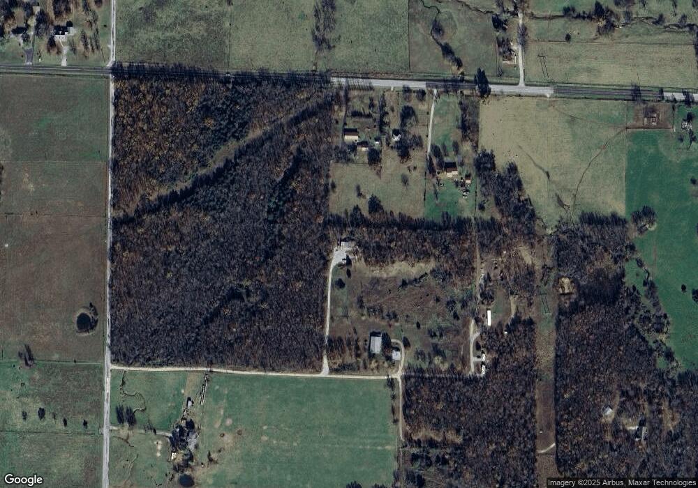
Map
Nearby Homes
- 20636 Lawrence 2180
- Tract 2 0000 Lawrence 2180
- Tract 1 0000 Lawrence 2180
- Tract 1 Lawrence 2180 Unit 1
- 0000 Lawrence 2180
- Tract 2 Lawrence 2180
- 20032 Lawrence 2175
- 20024 Lawrence 2175
- 19093 Highway K
- 20600 Lawrence 2200
- 19360 Lawrence 2175
- 303 N Hudson Ave
- 722 Wilson Ave
- 18252 Lawrence 2187
- 330 W Summit St
- 405 W Summit St
- 407 W Summit St Unit A & B
- 000 Crescent St
- 14635 Lawrence 1195
- 14576 Lawrence 1195
- 20213 Highway Zz
- 20135 Highway Zz
- TBD Highway Zz
- 0 Highway Zz
- 18601 Lawrence 1201
- 20038 Lawrence 2190
- 19047 Law 1202
- 20039 Lawrence 2190
- 20039 Lawrence 2190
- 19968 Lawrence 2190
- 19047 Lawrence 1202
- 18421 Lawrence 1200
- 18396 Lawrence 1200
- 19832 Lawrence 2190
- 19832 Lawrence 2190
- 18807 Lawrence 1200
- 18807 Lawrence 1200
- 18807 Lawrence 1200
Your Personal Tour Guide
Ask me questions while you tour the home.