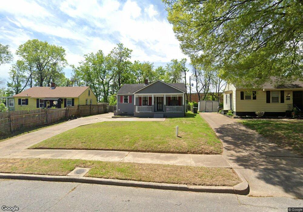
2011 Belmar St Memphis, TN 38106
South Memphis NeighborhoodEstimated Value: $63,000 - $98,000
2
Beds
1
Bath
912
Sq Ft
$83/Sq Ft
Est. Value
About This Home
This home is located at 2011 Belmar St, Memphis, TN 38106 and is currently estimated at $76,057, approximately $83 per square foot. 2011 Belmar St is a home located in Shelby County with nearby schools including A. B. Hill Elementary School, Riverview Middle School, and Hamilton High School.
Ownership History
Date
Name
Owned For
Owner Type
Purchase Details
Closed on
Dec 15, 2017
Sold by
Baker Ruth U
Bought by
Baker Phyliss
Current Estimated Value
Purchase Details
Closed on
Jan 3, 2003
Sold by
Hardy Beverly
Bought by
Baker Ruth U
Home Financials for this Owner
Home Financials are based on the most recent Mortgage that was taken out on this home.
Original Mortgage
$23,595
Outstanding Balance
$10,044
Interest Rate
5.99%
Mortgage Type
Purchase Money Mortgage
Estimated Equity
$66,013
Create a Home Valuation Report for This Property
The Home Valuation Report is an in-depth analysis detailing your home's value as well as a comparison with similar homes in the area
Home Values in the Area
Average Home Value in this Area
Purchase History
| Date | Buyer | Sale Price | Title Company |
|---|---|---|---|
| Baker Phyliss | -- | None Available | |
| Baker Ruth U | $27,000 | Tri State Title & Escrow Inc |
Source: Public Records
Mortgage History
| Date | Status | Borrower | Loan Amount |
|---|---|---|---|
| Open | Baker Ruth U | $23,595 | |
| Closed | Baker Ruth U | $5,000 |
Source: Public Records
Tax History Compared to Growth
Tax History
| Year | Tax Paid | Tax Assessment Tax Assessment Total Assessment is a certain percentage of the fair market value that is determined by local assessors to be the total taxable value of land and additions on the property. | Land | Improvement |
|---|---|---|---|---|
| 2025 | -- | $13,025 | $2,000 | $11,025 |
| 2024 | $292 | $8,600 | $1,125 | $7,475 |
| 2023 | $524 | $8,600 | $1,125 | $7,475 |
| 2022 | $524 | $8,600 | $1,125 | $7,475 |
| 2021 | $530 | $8,600 | $1,125 | $7,475 |
| 2020 | $529 | $7,300 | $1,125 | $6,175 |
| 2019 | $529 | $7,300 | $1,125 | $6,175 |
| 2018 | $529 | $7,300 | $1,125 | $6,175 |
| 2017 | $300 | $7,300 | $1,125 | $6,175 |
| 2016 | $331 | $7,575 | $0 | $0 |
| 2014 | $331 | $7,575 | $0 | $0 |
Source: Public Records
Map
Nearby Homes
- 396 Fernwood Ave
- 449 Fernwood Ave
- 361 Jacklyn Ave
- 442 Jacklyn Ave
- 1872 Benning St
- 507 E Frank Ave
- 478 E Davant Ave
- 190 E Fernwood Ave
- 538 E Davant Ave
- 171 E Frank Ave
- 1869 S Lauderdale St
- 1748 Benning St
- 586 E Mallory Ave
- 1839 S Orleans St
- 1334 Mcmillan St
- 672 E Davant Ave
- 380 E Dison Ave
- 525 E Dison Ave
- 1661 Cameron St
- 1669 S Wellington St
- 2009 Belmar St
- 2015 Belmar St
- 2005 Belmar St
- 2019 Belmar St
- 2023 Belmar St
- 2001 Belmar St
- 2002 Belmar St
- 2020 Belmar St
- 2027 Belmar St
- 1995 Belmar St
- 1996 Belmar St
- 409 E Norwood Ave
- 1993 Wynton St
- 1991 Belmar St
- 1985 Wynton St
- 1987 Belmar St
- 2008 Wynton St
- 1982 Belmar St
- 1981 Belmar St
- 1981 Wynton St