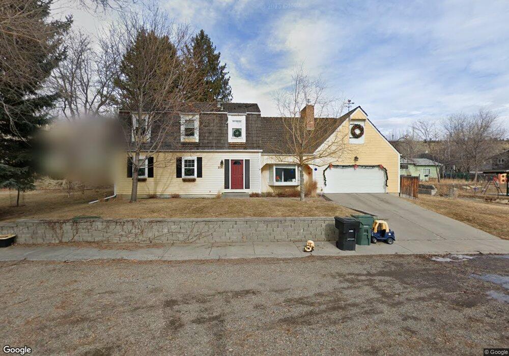
2011 Mckay Ln Billings, MT 59102
North Central Billings NeighborhoodEstimated Value: $461,000 - $498,000
3
Beds
3
Baths
3,278
Sq Ft
$148/Sq Ft
Est. Value
About This Home
This home is located at 2011 Mckay Ln, Billings, MT 59102 and is currently estimated at $483,687, approximately $147 per square foot. 2011 Mckay Ln is a home located in Yellowstone County with nearby schools including Poly Drive School, Lewis & Clark Junior High School, and Billings Senior High School.
Ownership History
Date
Name
Owned For
Owner Type
Purchase Details
Closed on
Nov 19, 2021
Sold by
Germany Robert and Germany Katie
Bought by
Germany Robert Andrew and Germany Katie Anne
Current Estimated Value
Home Financials for this Owner
Home Financials are based on the most recent Mortgage that was taken out on this home.
Original Mortgage
$262,103
Outstanding Balance
$206,054
Interest Rate
3.05%
Mortgage Type
New Conventional
Estimated Equity
$277,633
Purchase Details
Closed on
Aug 1, 2014
Sold by
Trask Pirrie and Trask Linda S
Bought by
Germany Robert Andrew and Germany Katie Anne
Home Financials for this Owner
Home Financials are based on the most recent Mortgage that was taken out on this home.
Original Mortgage
$247,275
Interest Rate
4.13%
Mortgage Type
VA
Create a Home Valuation Report for This Property
The Home Valuation Report is an in-depth analysis detailing your home's value as well as a comparison with similar homes in the area
Home Values in the Area
Average Home Value in this Area
Purchase History
| Date | Buyer | Sale Price | Title Company |
|---|---|---|---|
| Germany Robert Andrew | -- | Better Settlement Svcs Llc | |
| Germany Robert | -- | Better Settlement Svcs Llc | |
| Germany Robert Andrew | -- | None Available |
Source: Public Records
Mortgage History
| Date | Status | Borrower | Loan Amount |
|---|---|---|---|
| Open | Germany Robert | $262,103 | |
| Closed | Germany Robert Andrew | $247,275 |
Source: Public Records
Tax History Compared to Growth
Tax History
| Year | Tax Paid | Tax Assessment Tax Assessment Total Assessment is a certain percentage of the fair market value that is determined by local assessors to be the total taxable value of land and additions on the property. | Land | Improvement |
|---|---|---|---|---|
| 2025 | $3,927 | $472,600 | $59,375 | $413,225 |
| 2024 | $3,927 | $409,200 | $56,344 | $352,856 |
| 2023 | $3,926 | $409,200 | $56,344 | $352,856 |
| 2022 | $3,544 | $324,100 | $0 | $0 |
| 2021 | $3,369 | $324,100 | $0 | $0 |
| 2020 | $3,301 | $304,000 | $0 | $0 |
| 2019 | $3,149 | $304,000 | $0 | $0 |
| 2018 | $3,199 | $303,900 | $0 | $0 |
| 2017 | $2,813 | $303,900 | $0 | $0 |
| 2016 | $2,634 | $258,300 | $0 | $0 |
| 2015 | $2,575 | $258,300 | $0 | $0 |
| 2014 | $2,439 | $130,115 | $0 | $0 |
Source: Public Records
Map
Nearby Homes
- 2042 Green Terrace Dr
- 2206 Green Terrace Dr
- 3226 Country Club Cir
- 1833 Iris Ln
- 2124 Dahlia Ln
- 1944 Colton Blvd
- 2021 Beverly Hill Blvd
- 1734 Mariposa Ln
- 2907 Brentwood Ln
- 2422 Brentwood Ln
- 2911 E Macdonald Dr
- 1745 Parkhill Dr
- 3441 Masterson Cir
- 3540 Masterson Cir
- 2420 Elizabeth St
- 2035 Avenue D
- 2644 Rimrock Rd
- 2646 Rimrock Rd
- 46 Shadow Place Unit 6B
- 1921 Eastridge Dr
- 2009 Mckay Ln
- 2813 Orchard Dr
- 2018 Rimrock Rd
- 2006 Mckay Ln
- 2012 Mckay Ln
- 1990 Mckay Ln
- 2880 Silverwood St
- 1991 Mckay Ln
- 2022 Mckay Ln
- 2804 Orchard Dr
- 2812 Orchard Dr
- 2021 Rimrock Rd
- 2009 Rimrock Rd
- 2017 Pryor Ln
- 2025 Pryor Ln
- 2030 Rimrock Rd
- 2041 Rimrock Rd
- 2902 Silverwood St
- 2019 Pryor Ln
- 1980 Mckay Ln