2011 Oldfields Circle South Dr Indianapolis, IN 46228
Wynnedale-Spring Hill NeighborhoodEstimated Value: $261,000 - $279,759
2
Beds
3
Baths
2,145
Sq Ft
$126/Sq Ft
Est. Value
About This Home
This home is located at 2011 Oldfields Circle South Dr, Indianapolis, IN 46228 and is currently estimated at $270,440, approximately $126 per square foot. 2011 Oldfields Circle South Dr is a home located in Marion County with nearby schools including Crooked Creek Elementary School, Westlane Middle School, and North Central High School.
Ownership History
Date
Name
Owned For
Owner Type
Purchase Details
Closed on
Feb 28, 2025
Sold by
Miser Alex R and Miser Ashley J
Bought by
Borne Robert and Floystrop-Borne Cheryl Ann
Current Estimated Value
Purchase Details
Closed on
Oct 30, 2014
Sold by
Roraus Gary A and Roraus Valerie M
Bought by
Miser Alex R and Miser Ashley J
Home Financials for this Owner
Home Financials are based on the most recent Mortgage that was taken out on this home.
Original Mortgage
$155,250
Interest Rate
4.19%
Mortgage Type
New Conventional
Purchase Details
Closed on
Mar 24, 2011
Sold by
Carnahan Nancy
Bought by
Roraus Gary A and Roraus Valerie M
Home Financials for this Owner
Home Financials are based on the most recent Mortgage that was taken out on this home.
Original Mortgage
$125,000
Interest Rate
4.93%
Mortgage Type
New Conventional
Create a Home Valuation Report for This Property
The Home Valuation Report is an in-depth analysis detailing your home's value as well as a comparison with similar homes in the area
Home Values in the Area
Average Home Value in this Area
Purchase History
| Date | Buyer | Sale Price | Title Company |
|---|---|---|---|
| Borne Robert | -- | None Listed On Document | |
| Miser Alex R | -- | None Available | |
| Roraus Gary A | -- | None Available | |
| Carnahan Nancy | -- | None Available |
Source: Public Records
Mortgage History
| Date | Status | Borrower | Loan Amount |
|---|---|---|---|
| Previous Owner | Miser Alex R | $155,250 | |
| Previous Owner | Roraus Gary A | $125,000 |
Source: Public Records
Tax History Compared to Growth
Tax History
| Year | Tax Paid | Tax Assessment Tax Assessment Total Assessment is a certain percentage of the fair market value that is determined by local assessors to be the total taxable value of land and additions on the property. | Land | Improvement |
|---|---|---|---|---|
| 2024 | $2,423 | $202,800 | $22,200 | $180,600 |
| 2023 | $2,423 | $202,800 | $22,200 | $180,600 |
| 2022 | $2,553 | $202,800 | $22,200 | $180,600 |
| 2021 | $1,860 | $151,500 | $18,000 | $133,500 |
| 2020 | $1,783 | $151,500 | $18,000 | $133,500 |
| 2019 | $1,728 | $155,100 | $18,000 | $137,100 |
| 2018 | $1,618 | $150,200 | $18,000 | $132,200 |
| 2017 | $1,568 | $148,500 | $18,000 | $130,500 |
| 2016 | $1,441 | $145,300 | $18,000 | $127,300 |
| 2014 | $1,187 | $141,700 | $18,000 | $123,700 |
| 2013 | $1,261 | $141,700 | $18,000 | $123,700 |
Source: Public Records
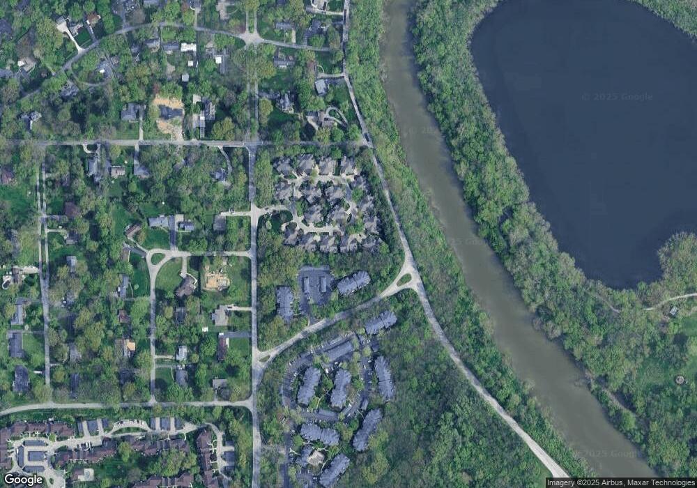
Map
Nearby Homes
- 2128 Boston Ct Unit A
- 2230 Rome Dr
- 2267 Rome Dr Unit A
- 4422 Edinburgh Point
- 1311 Golden Hill Dr
- 4206 W Kessler Boulevard Dr N
- 4302 Kessler Boulevard Dr N
- 1410 W 35th St
- 4325 Melbourne Road Dr E
- 1445 W 34th St
- 1401 W 34th St
- 1154 W 36th St
- 3220 River Villa Way
- 1450 W 33rd St
- 5260 Clarendon Rd
- 2717 N Shriver Ave
- 5256 Clarendon Rd
- 5100 Knollton Rd
- 1467 W 33rd St
- 1149 W 36th St
- 2017 Oldfields Circle South Dr
- 2017 Oldfields Circle Dr S
- 2027 Oldfields Circle South Dr
- 1983 Oldfields Circle Dr S
- 1989 Oldfields Circle South Dr
- 1989 Oldfields Circle Dr S
- 1989 Oldfields Circle Dr S Unit Drive
- 1983 Oldfields Circle South Dr
- 1973 Oldfields Circle South Dr
- 2020 Oldfields Circle South Dr
- 2033 Oldfields Circle South Dr
- 2014 Oldfields Cir Dr S
- 2020 Oldfields Circle Dr S
- 2020 Oldfields Circle Dr S Unit 2020
- 1967 Oldfields Circle Dr S
- 1967 Oldfields Cir Dr S
- 1967 Oldfields Circle South Dr
- 2014 Oldfields Circle South Dr
- 1957 S Oldfields Circle Dr S
- 1957 S Oldfields Cir