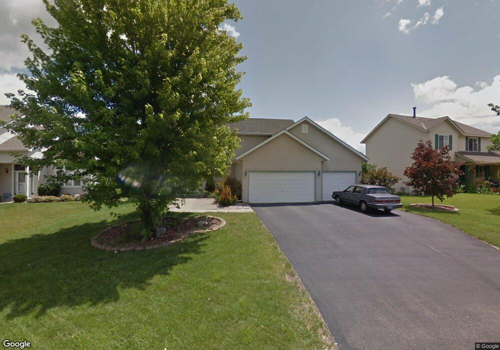
2011 Pheasant Run St Shakopee, MN 55379
Estimated Value: $469,000 - $497,000
4
Beds
4
Baths
1,784
Sq Ft
$270/Sq Ft
Est. Value
About This Home
This home is located at 2011 Pheasant Run St, Shakopee, MN 55379 and is currently estimated at $481,100, approximately $269 per square foot. 2011 Pheasant Run St is a home located in Scott County with nearby schools including Sun Path Elementary School, Shakopee West Middle School, and Shakopee Senior High School.
Ownership History
Date
Name
Owned For
Owner Type
Purchase Details
Closed on
May 2, 2025
Sold by
Lin Yang Wei and Chien Meng-Chi
Bought by
Lin Yang Wei and Meng-Chi Chien
Current Estimated Value
Purchase Details
Closed on
May 28, 2004
Sold by
Condon Anthony and Condon Vicki
Bought by
Lin Yang Wei
Purchase Details
Closed on
Jun 2, 2000
Sold by
Mw Johnson Construction
Bought by
Condon Anthony and Condon Vicki
Purchase Details
Closed on
Oct 11, 1999
Sold by
Pheasant Run Of Shakopee L L P
Bought by
M W Johnson Construction Inc
Create a Home Valuation Report for This Property
The Home Valuation Report is an in-depth analysis detailing your home's value as well as a comparison with similar homes in the area
Home Values in the Area
Average Home Value in this Area
Purchase History
| Date | Buyer | Sale Price | Title Company |
|---|---|---|---|
| Lin Yang Wei | $500 | None Listed On Document | |
| Lin Yang Wei | $310,000 | -- | |
| Condon Anthony | $204,174 | -- | |
| M W Johnson Construction Inc | $44,400 | -- |
Source: Public Records
Mortgage History
| Date | Status | Borrower | Loan Amount |
|---|---|---|---|
| Closed | M W Johnson Construction Inc | -- |
Source: Public Records
Tax History Compared to Growth
Tax History
| Year | Tax Paid | Tax Assessment Tax Assessment Total Assessment is a certain percentage of the fair market value that is determined by local assessors to be the total taxable value of land and additions on the property. | Land | Improvement |
|---|---|---|---|---|
| 2025 | $4,568 | $434,700 | $140,100 | $294,600 |
| 2024 | $4,282 | $438,800 | $140,100 | $298,700 |
| 2023 | $4,536 | $400,400 | $134,500 | $265,900 |
| 2022 | $4,220 | $415,600 | $152,900 | $262,700 |
| 2021 | $3,552 | $336,500 | $122,000 | $214,500 |
| 2020 | $3,802 | $311,700 | $117,000 | $194,700 |
| 2019 | $3,816 | $294,400 | $104,000 | $190,400 |
| 2018 | $4,262 | $0 | $0 | $0 |
| 2016 | $4,184 | $0 | $0 | $0 |
| 2014 | -- | $0 | $0 | $0 |
Source: Public Records
Map
Nearby Homes
- 2052 Wilhelm Ct
- 2777 Pampas Ct
- 2518 Green Ash Ave
- 2529 Green Ash Ave
- Berkley Plan at Arbor Bluff - Venture Collection
- 2551 Aspen Ct
- Clark Plan at Arbor Bluff - Venture Collection
- 2548 Aspen Ct
- Itasca Plan at Arbor Bluff - Landmark Collection
- Sequoia Plan at Arbor Bluff - Venture Collection
- Markham Plan at Arbor Bluff - Venture Collection
- 2340 Rock Elm Rd
- Lewis Plan at Arbor Bluff - Landmark Collection
- McKinley Plan at Arbor Bluff - Landmark Collection
- 2584 Aspen Ct
- 2606 Green Ash Ave
- Marquette Plan at Arbor Bluff - Venture Collection
- 2689 Aspen Dr
- Sinclair Plan at Arbor Bluff - Landmark Collection
- Burnham Plan at Arbor Bluff - Venture Collection
- 2005 Pheasant Run St
- 1974 Blue Jay St
- 1984 Blue Jay St
- 2021 Pheasant Run St
- 1999 Pheasant Run St
- 1964 Blue Jay St
- 2016 Pheasant Run St
- 1994 Blue Jay St
- 2008 Pheasant Run St
- 2002 Pheasant Run St
- 2025 Pheasant Run St
- 1993 Pheasant Run St
- 2004 Blue Jay St
- 1954 Blue Jay St
- 2020 Pheasant Run St
- 1996 Pheasant Run St
- 2011 Chester Ct
- 2029 Pheasant Run St
- 1981 Blue Jay St
- 2190 Ponds Way