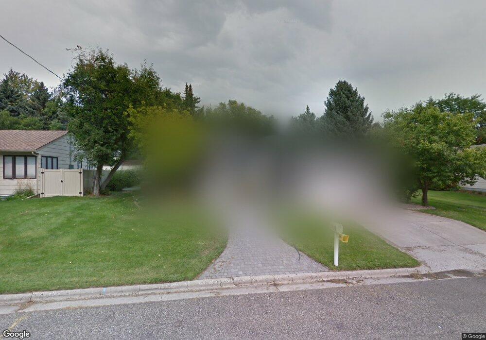
2011 Pryor Ln Billings, MT 59102
North Central Billings NeighborhoodEstimated Value: $321,000 - $405,000
4
Beds
2
Baths
2,156
Sq Ft
$169/Sq Ft
Est. Value
About This Home
This home is located at 2011 Pryor Ln, Billings, MT 59102 and is currently estimated at $365,428, approximately $169 per square foot. 2011 Pryor Ln is a home located in Yellowstone County with nearby schools including Poly Drive School, Lewis & Clark Junior High School, and Billings Senior High School.
Ownership History
Date
Name
Owned For
Owner Type
Purchase Details
Closed on
Jun 15, 2016
Sold by
Davies Rochelle
Bought by
Davies Justin S and Davies Rochelle
Current Estimated Value
Home Financials for this Owner
Home Financials are based on the most recent Mortgage that was taken out on this home.
Original Mortgage
$199,597
Outstanding Balance
$158,857
Interest Rate
3.57%
Mortgage Type
New Conventional
Estimated Equity
$206,571
Purchase Details
Closed on
Jun 10, 2016
Sold by
Janhunen Renee and Garsjo Donna
Bought by
Davies Rochelle
Home Financials for this Owner
Home Financials are based on the most recent Mortgage that was taken out on this home.
Original Mortgage
$199,597
Outstanding Balance
$158,857
Interest Rate
3.57%
Mortgage Type
New Conventional
Estimated Equity
$206,571
Purchase Details
Closed on
Apr 30, 2008
Sold by
Walsh Jana and Swartz Jared
Bought by
Swartz Jared and Swartz Jana
Home Financials for this Owner
Home Financials are based on the most recent Mortgage that was taken out on this home.
Original Mortgage
$192,850
Interest Rate
5.81%
Mortgage Type
New Conventional
Purchase Details
Closed on
Jul 26, 2006
Sold by
Millenbach Mathew N and Millebach Linda J
Bought by
Walsh Jana and Swartz Jared
Home Financials for this Owner
Home Financials are based on the most recent Mortgage that was taken out on this home.
Original Mortgage
$185,000
Interest Rate
6.57%
Mortgage Type
New Conventional
Create a Home Valuation Report for This Property
The Home Valuation Report is an in-depth analysis detailing your home's value as well as a comparison with similar homes in the area
Home Values in the Area
Average Home Value in this Area
Purchase History
| Date | Buyer | Sale Price | Title Company |
|---|---|---|---|
| Davies Justin S | -- | None Available | |
| Davies Rochelle | -- | Stewart Title | |
| Swartz Jared | -- | None Available | |
| Walsh Jana | -- | None Available |
Source: Public Records
Mortgage History
| Date | Status | Borrower | Loan Amount |
|---|---|---|---|
| Open | Davies Rochelle | $199,597 | |
| Previous Owner | Swartz Jared | $192,850 | |
| Previous Owner | Walsh Jana | $185,000 |
Source: Public Records
Tax History
| Year | Tax Paid | Tax Assessment Tax Assessment Total Assessment is a certain percentage of the fair market value that is determined by local assessors to be the total taxable value of land and additions on the property. | Land | Improvement |
|---|---|---|---|---|
| 2025 | $3,078 | $367,100 | $65,046 | $302,054 |
| 2024 | $3,078 | $309,100 | $61,588 | $247,512 |
| 2023 | $3,100 | $309,100 | $61,588 | $247,512 |
| 2022 | $2,476 | $262,200 | $0 | $0 |
| 2021 | $2,822 | $262,200 | $0 | $0 |
| 2020 | $2,815 | $251,200 | $0 | $0 |
| 2019 | $2,688 | $251,200 | $0 | $0 |
| 2018 | $2,558 | $234,000 | $0 | $0 |
| 2017 | $2,485 | $234,000 | $0 | $0 |
| 2016 | $2,271 | $215,600 | $0 | $0 |
| 2015 | $2,220 | $215,600 | $0 | $0 |
| 2014 | $2,067 | $106,424 | $0 | $0 |
Source: Public Records
Map
Nearby Homes
- 2042 Green Terrace Dr
- 2103 Poly Dr
- 13 Stanford Ct
- 2124 Dahlia Ln
- 3226 Country Club Cir
- 1807 S Mariposa Ln
- 2406 Woody Dr
- 1944 Colton Blvd
- 1745 Parkhill Dr
- 2504 Rancho Rd
- 1725 Avenue F
- 9 Shadow Place
- 56 Shadow Place
- 1733 Avenue E
- 1449 Teton Ave
- 1440 Granite Ave
- 3540 Masterson Cir
- 2060 Edgewood Dr
- 2644 Rimrock Rd
- 2646 Rimrock Rd
Your Personal Tour Guide
Ask me questions while you tour the home.