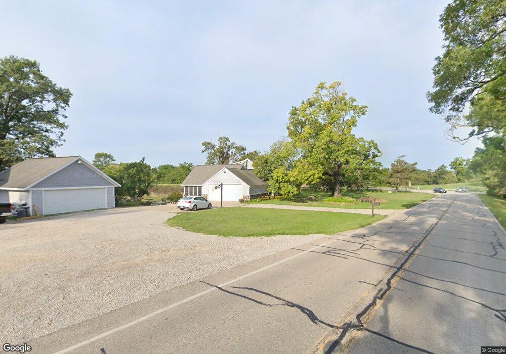
2011 W Main St Robins, IA 52328
Estimated Value: $557,000 - $720,000
4
Beds
3
Baths
2,446
Sq Ft
$261/Sq Ft
Est. Value
About This Home
This home is located at 2011 W Main St, Robins, IA 52328 and is currently estimated at $637,551, approximately $260 per square foot. 2011 W Main St is a home located in Linn County with nearby schools including Alburnett Elementary School, Alburnett Junior/Senior High School, and St. Pius X. Elementary School.
Ownership History
Date
Name
Owned For
Owner Type
Purchase Details
Closed on
May 30, 2025
Sold by
Avery Joel B and Avery Diane K
Bought by
Jans Michael F and Jans Lora J
Current Estimated Value
Purchase Details
Closed on
Mar 5, 2019
Sold by
Bridges Joseph M and Bridges Farrid Julie
Bought by
Avery Enterprises Llc
Create a Home Valuation Report for This Property
The Home Valuation Report is an in-depth analysis detailing your home's value as well as a comparison with similar homes in the area
Home Values in the Area
Average Home Value in this Area
Purchase History
| Date | Buyer | Sale Price | Title Company |
|---|---|---|---|
| Jans Michael F | $637,000 | None Listed On Document | |
| Avery Enterprises Llc | -- | None Available |
Source: Public Records
Tax History Compared to Growth
Tax History
| Year | Tax Paid | Tax Assessment Tax Assessment Total Assessment is a certain percentage of the fair market value that is determined by local assessors to be the total taxable value of land and additions on the property. | Land | Improvement |
|---|---|---|---|---|
| 2025 | $5,958 | $531,500 | $53,100 | $478,400 |
| 2024 | $4,430 | $520,800 | $53,100 | $467,700 |
| 2023 | $4,430 | $440,900 | $53,100 | $387,800 |
| 2022 | $4,728 | $296,300 | $53,100 | $243,200 |
| 2021 | $4,636 | $296,300 | $53,100 | $243,200 |
| 2020 | $4,636 | $274,800 | $53,100 | $221,700 |
| 2019 | $4,096 | $260,900 | $53,100 | $207,800 |
| 2018 | $4,080 | $260,900 | $53,100 | $207,800 |
| 2017 | $4,080 | $268,300 | $53,100 | $215,200 |
| 2016 | $4,759 | $268,300 | $53,100 | $215,200 |
| 2015 | $5,033 | $268,300 | $53,100 | $215,200 |
| 2014 | $4,870 | $268,300 | $53,100 | $215,200 |
| 2013 | $4,746 | $268,300 | $53,100 | $215,200 |
Source: Public Records
Map
Nearby Homes
- 1975 Kaylin Ct
- 39.69 Acres M/L N Center Point Rd
- 28.72 Acres M/L N Center Point Rd
- 8.98 Acres M/L N Center Point Rd
- 1970 Kaylin Ct
- 1940 Kaylin Ct
- 1935 Kaylin Ct
- 1920 Kaylin Ct
- 0 28 72 Acres N Center Point Rd
- 1917 Kaylin Ct
- 1915 Kaylin Ct
- 405 Ascot Ln
- 0 8 98 Acres M L N Center Point Rd Unit 2507297
- 0 Rd
- 3055 Forrest Hill Ct
- 850 Hemlock Ct
- 3056 Forrest Hill Ct
- 3466 Springer Ct
- 0 70 78 Acres M L Quass Rd
- 3122 Timber Ridge Ct
- 2020 W Main St
- 2000 W Main St
- 1975 W Main St
- 1950 W Main St
- 3014 N Center Point Rd
- 3018 N Center Point Rd
- 1919 W Main St
- 2982 N Center Point Rd
- 2973 N Center Point Rd
- 3026 N Center Point Rd
- 1923 Kaylin Ct
- 3000 N Center Point Rd
- 2969 N Center Point Rd
- 2963 N Center Point Rd
- 2959 N Center Point Rd
- 1800 Mackenzie Dr
- 1850 Mackenzie Dr
- 1700 Mackenzie Dr
- 2946 N Center Point Rd
- 1660 Mackenzie Dr